NH - Hedgehog Mountain
We have hiked Hedgehog Mountain several times over the years, but not since we started blogging. Hedgehog is on “New Hampshire 52 with a view". Hedgehog has a main peak at 2,532 feet and a lesser peak (the East Ledges) at around 2,300 feet.
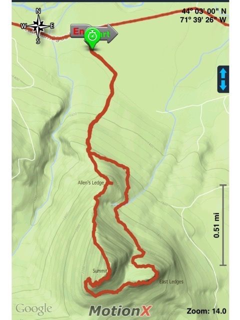
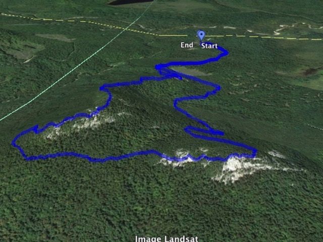
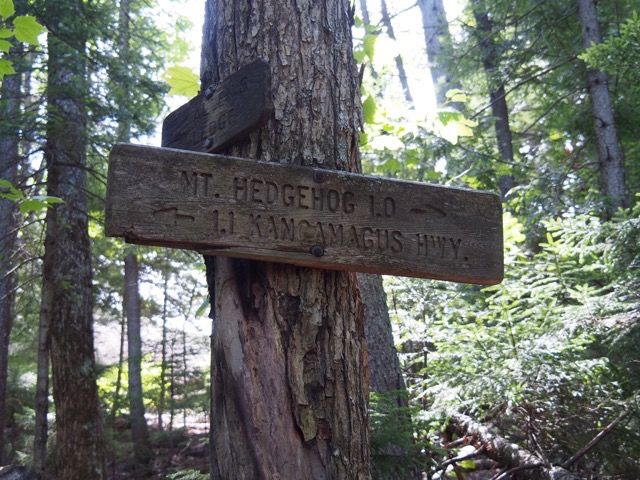
The hike can be done as a loop either clockwise or counter-clockwise, with three excellent viewpoints — the summit of Hedgehog, the East Ledges, and Allen’s Ledge. The loop is about 4.8 miles with 1,350 feet of elevation. Going counter-clockwise, starting with the west loop, it’s 1.1 miles to Allen’s Ledge, another 0.8 miles to the summit of Hedgehog, another 0.9 miles to the East Ledges, and then 2.0 miles back to the start.
There are mostly moderate to steeper grades with the exception of some flatter areas between the summit and the East Ledges, with a lot of ledge and tree roots underfoot at the higher elevations.
The loop begins at the Downes Brook Trail (signs for Downes Brook, Hedgehog, and Potash) parking lot on the south side of the Kanc opposite the Passaconaway Campground (elevation approx. 1,200 feet).
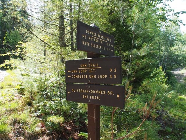
The trail leaves the Downes Brook Trail on the left about 60 yards from the parking lot, follows an old railroad grade 0.2 miles to the former junction with the East Loop — no longer maintained, with a new junction further down the trail.
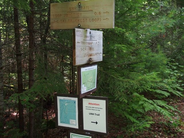
At 0.3, there is a junction with the X-C ski trail. At 0.6, there is a clearcut on the left. At 0.8, the new East Loop path leaves left.
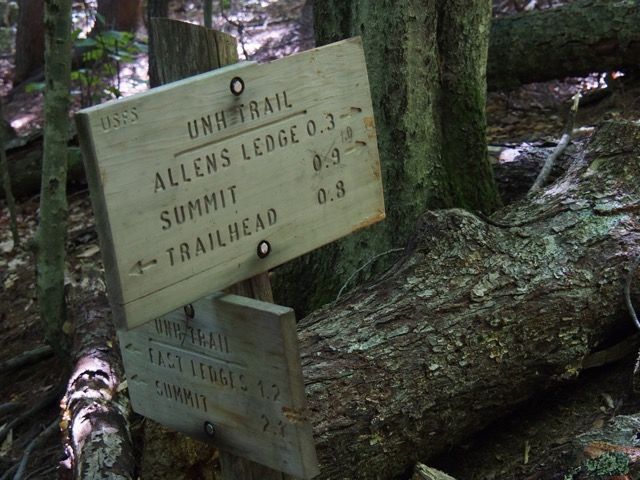
At 1.1 miles, where the trail turns right, you can go straight steeply ahead to Allen’s Ledge, with good views to the northeast.
Chocorua and the three Sisters from Allen’s Ledge.

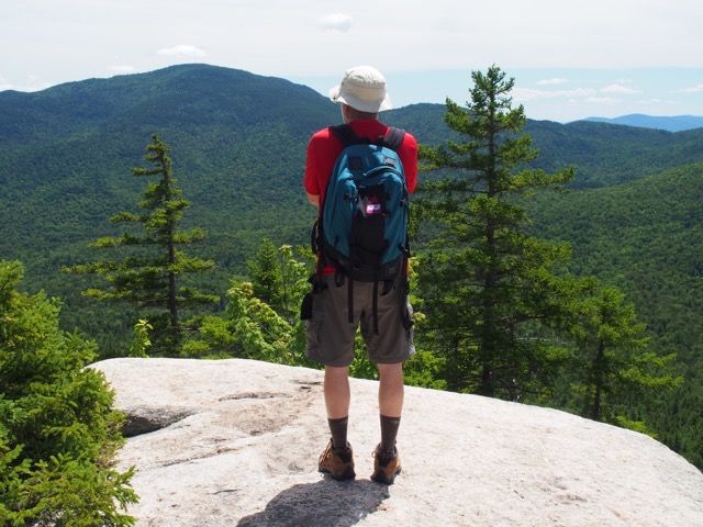
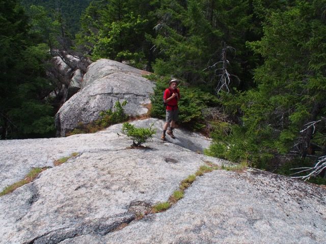
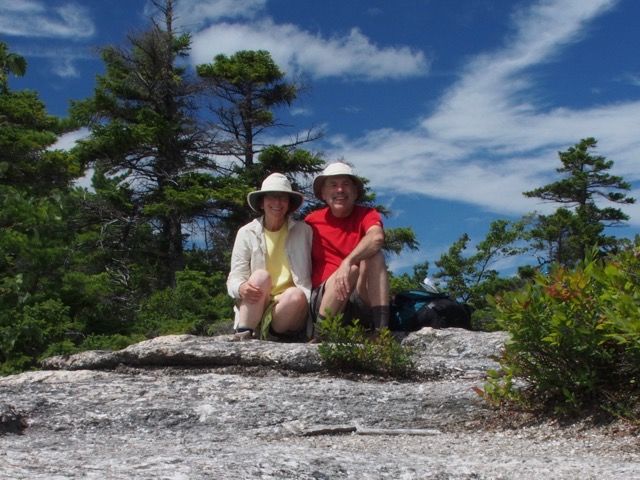
After stopping for a while for views, we headed back onto the path to the summit. There are occasional steeper pitches with ledge, rock, and roots along the way. The summit is reached at 1.9 miles from the start of the hike (going counter-clockwise) and has lots of open bare rock for sitting, eating some snacks, and admiring the views.
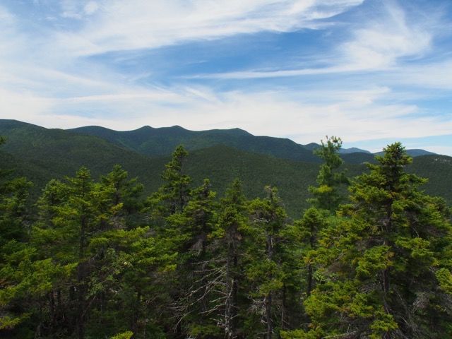
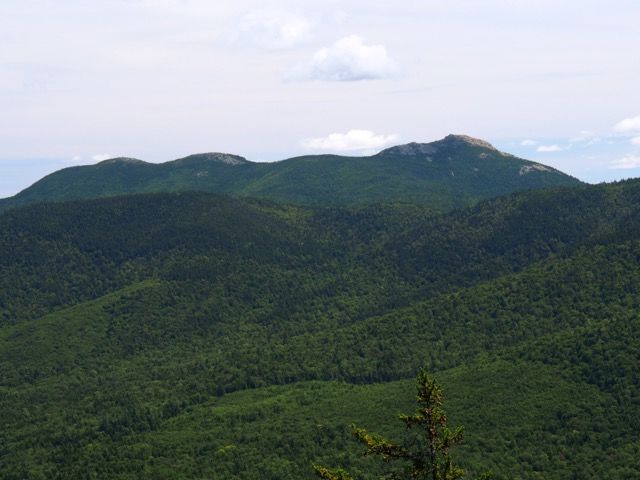
Looking south and a little west from the summit into Waterville Valley, the two Sleepers are on the far left and then the 3 peaks of the Tripyramids are in the center.
The Sisters and Chocorua (again).
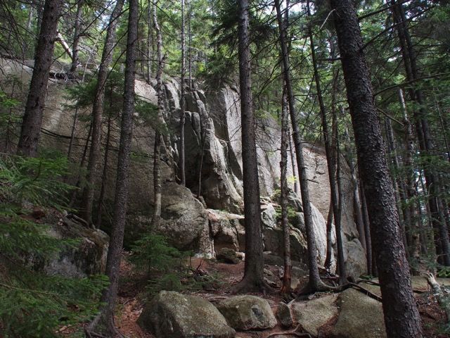
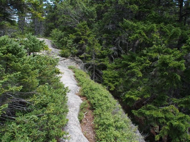
After some time on the summit, we headed down, circling under the summit to the East Ledges. Along the way, there is ledge going down, and then a nice walk with large rock formations to our left, and then some up to get the East Ledges at about 2.8 miles into the hike.
Heading down from the summit.
Directly in front (south) of the peak of Hedgehog is the mass of Mt. Passaconaway.

Heading down from the peak of Hedgehog Mountain.
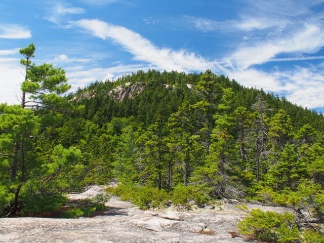
Reaching East Ledges.
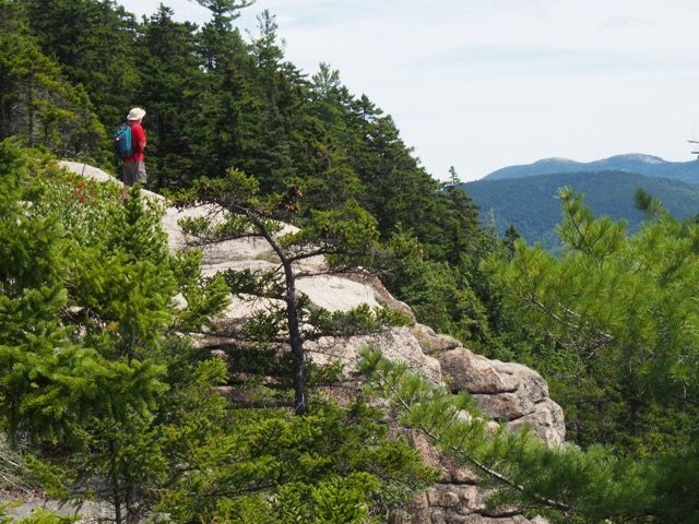
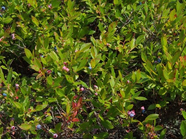
Once again there was plenty of open bare rock for sitting, eating some snacks, and admiring the views. And lots of low-bush blueberries to eat!
Looking back at the summit.
Yum.
Pictures and eating done, we headed down the 2.0 miles back to the start.
Heading down from the East Ledges.
The day was sunny, warm, and perfect for hiking.