Canadian Rockies – Day 1
Tuesday, 18-Jul-2017
Tags: Travel
We are joining our friends Debby and Peter for a vacation in Alberta (and a little of British Columbia). We flew into Calgary on Monday night and drove to our condo in Canmore, a small city about 120 km (75 miles) west of Calgary.
Both Banff and Lake Louise are in the Banff National Park in Alberta. Banff is 20 km (12 miles) west of Canmore and Lake Louise is 80 km (50 miles) west of Canmore. Our other stops will include Kootenay National Park and Yoho National Park, both in British Columbia across the Continental Divide.
We are here through Saturday (Peter and Debby are staying a bit longer to head to Jasper). Eileen planned out a set of activities in Banff, Kootenay, and Yoho, although we might have to modify the plan a bit due to large forest fires in British Columbia mostly in Kootenay National Park but sending smoke into the skies of Banff.
The following map provides some context showing Calgary, Canmore, Banff, Lake Louise, and all the Canadian National Parks in the area.
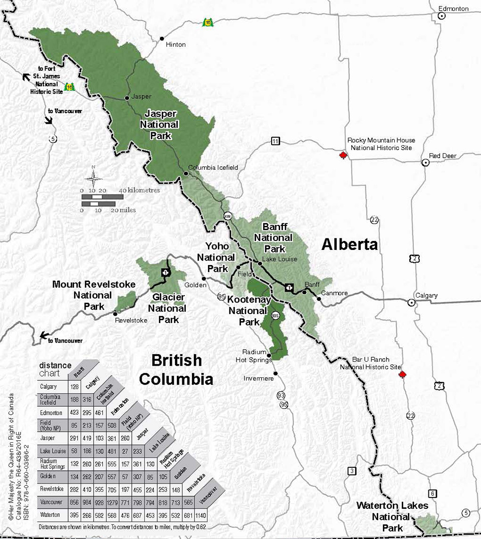
On our first full day (Tuesday) our plan was to do a few short hikes at various sites around Banff. We started by driving to Banff to deal with some rental car administrivia and then drove down to Kootenay National Park a bit south and west of Banff just inside BC.
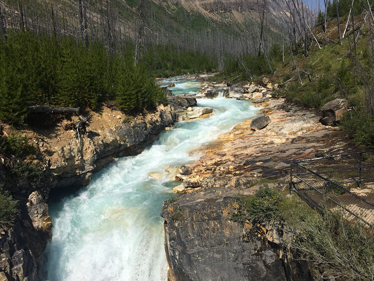
Our first stop in Kootenay NP was Marble Canyon, an amazing example of a glacier-fed river carving a deep canyon through the rock over the course of hundreds of millions of years. The river water is an amazing slightly milky blue green typical of glacial run off. The river (it is actually Tokumm Creek) carved a deep and narrow canyon through the carbonate rock (the basis of marble). The trail had walkways on both sides and an occasional bridge across the river. Near the top was a really powerful (although not very high) waterfall.
Looking back at the start.
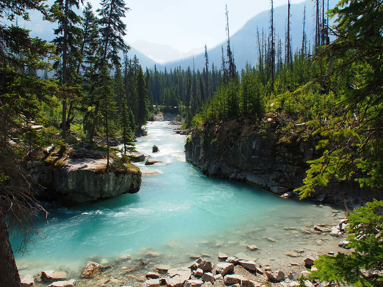
Water is so aqua! Canyon gets very deep as we walk along.
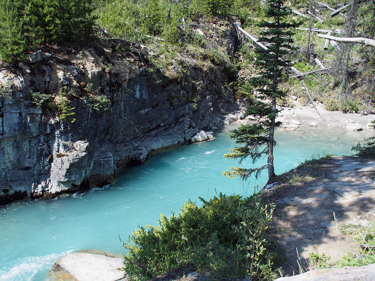
Canyon getting deeper.
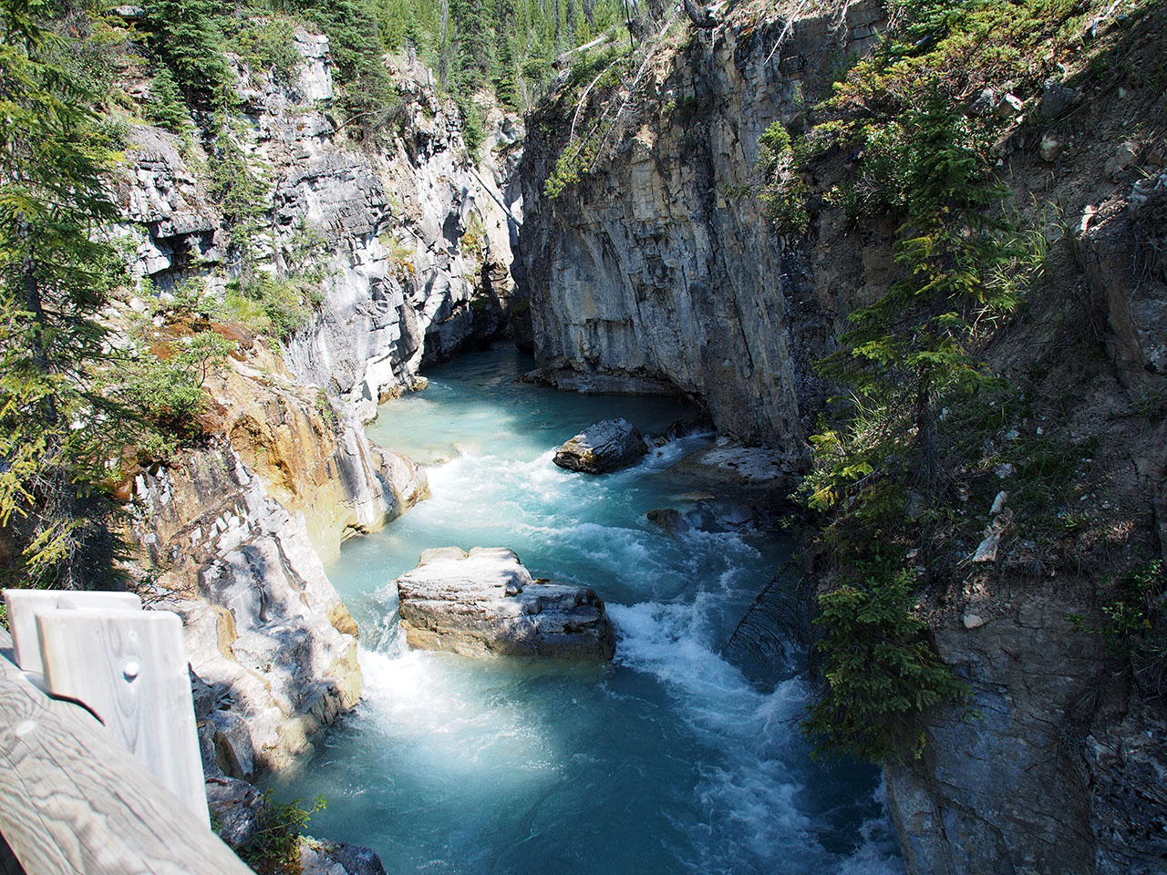
Man-made and natural bridges.
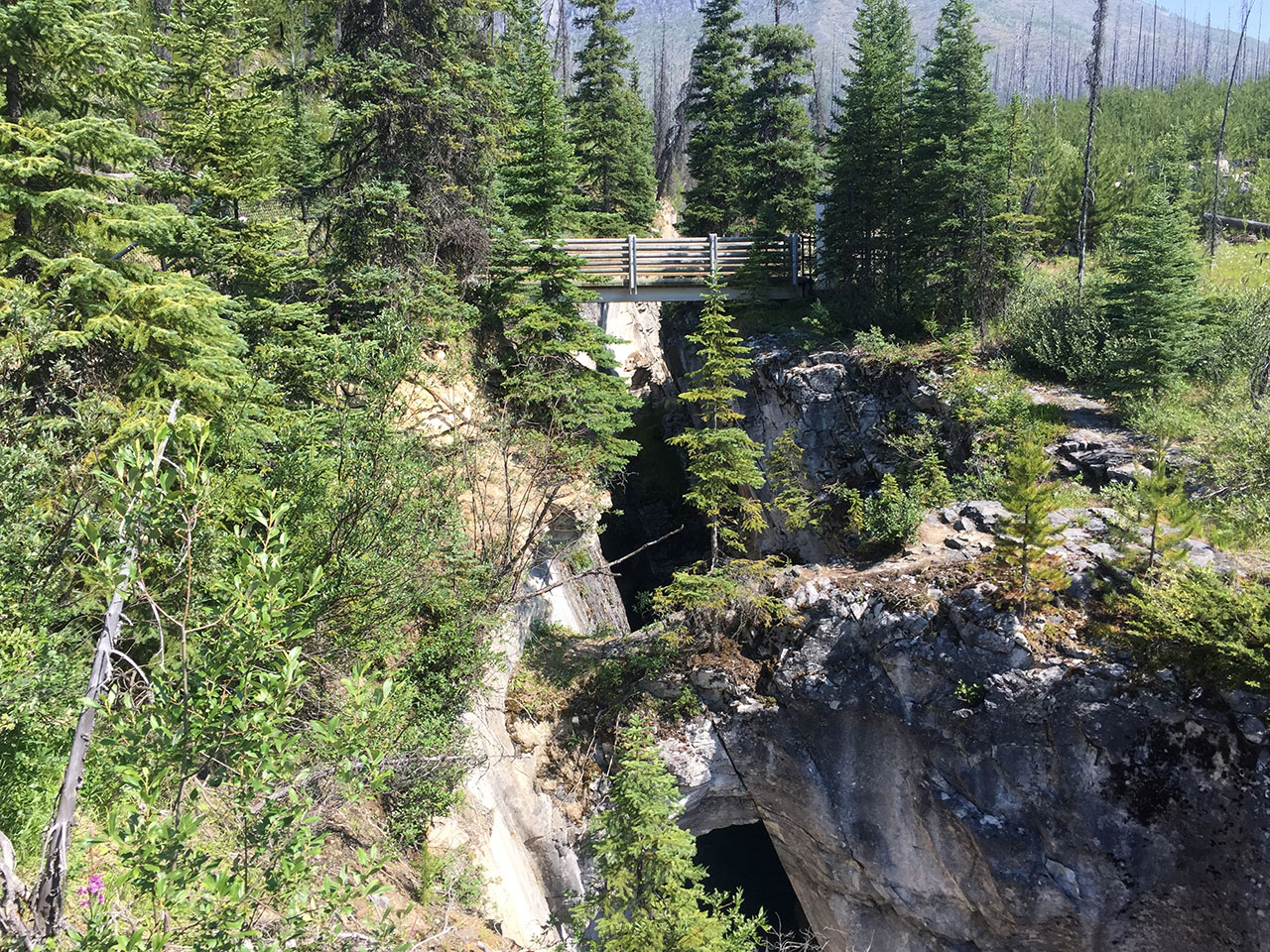
Deeper yet.
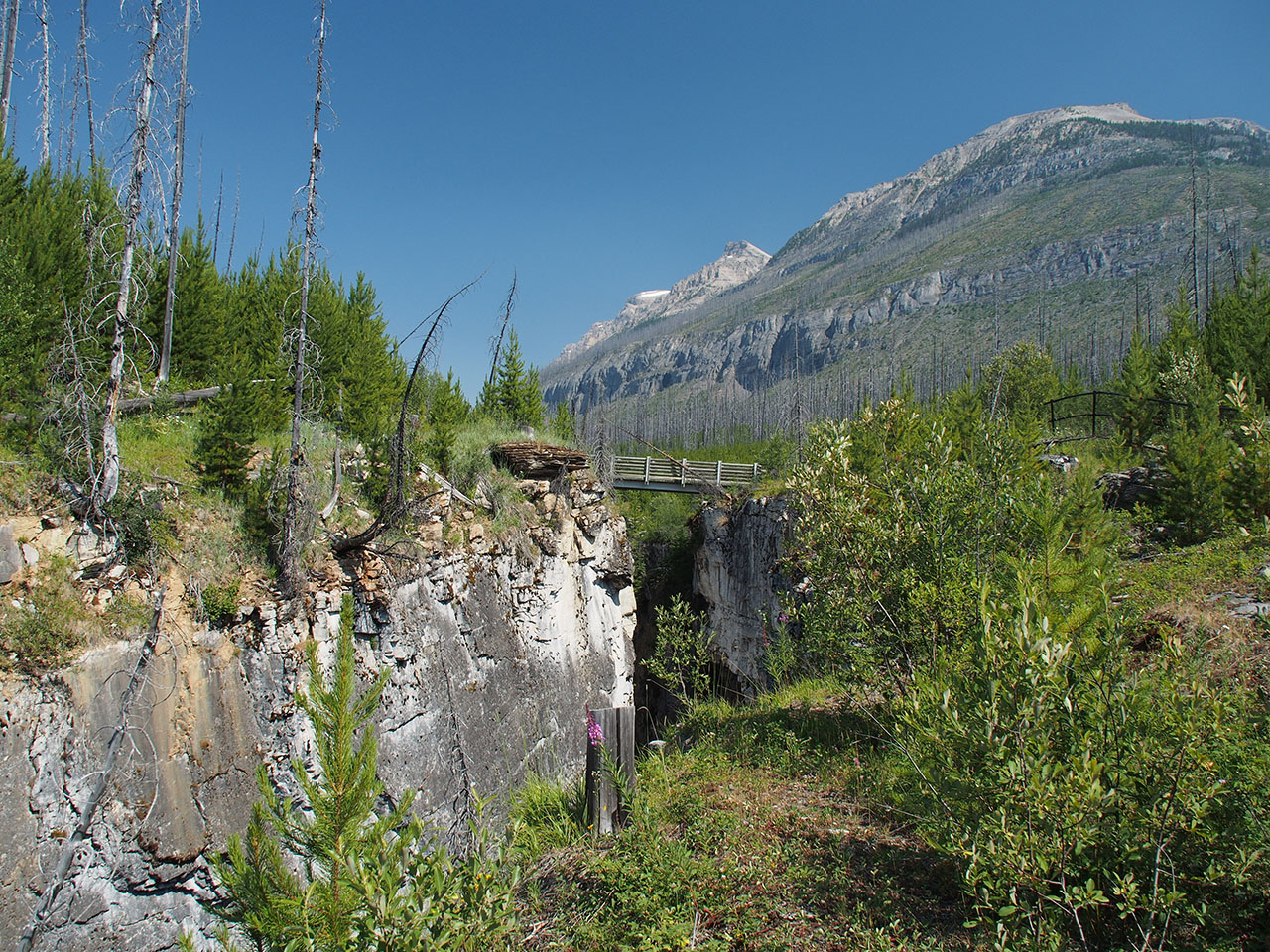
Deepest point more or less.
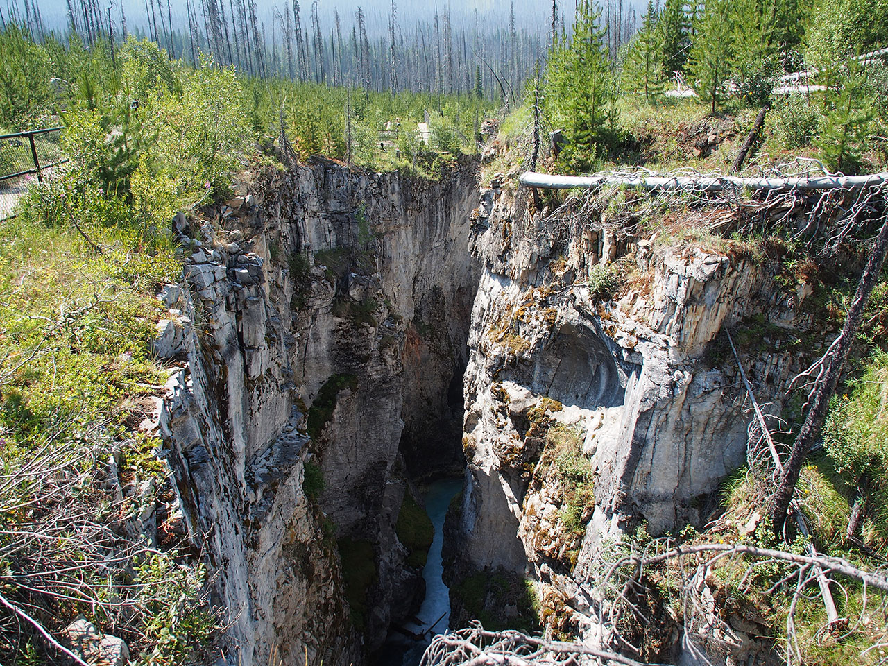
Rushing water cascading down.
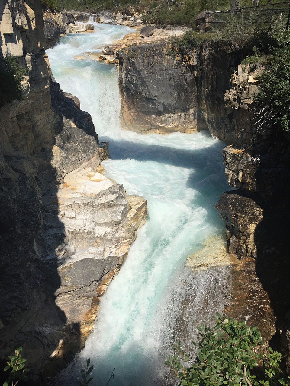
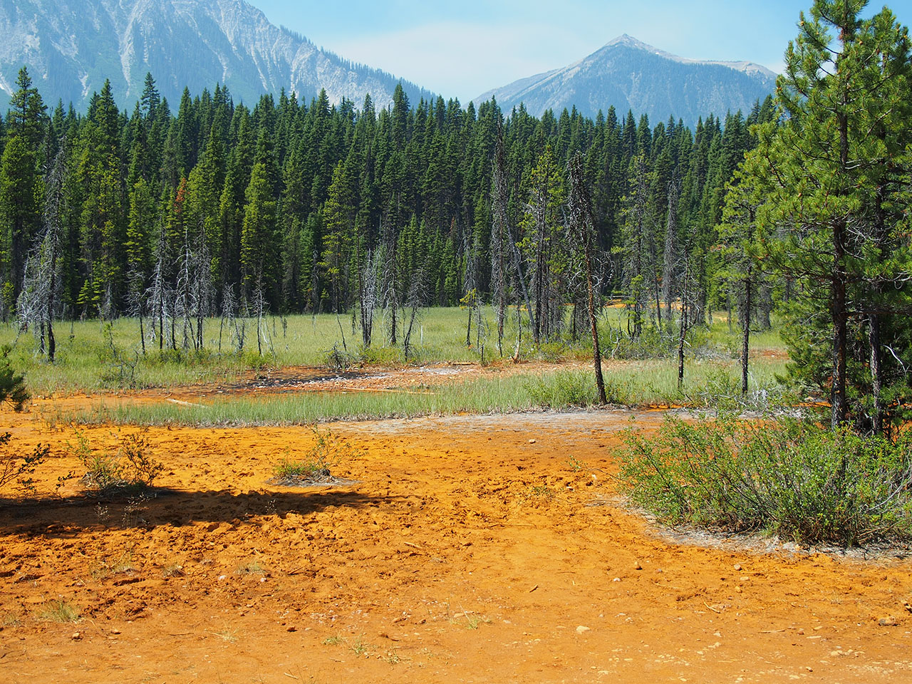
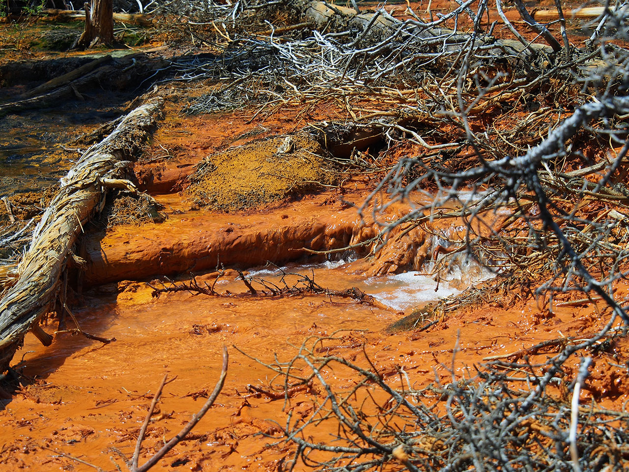
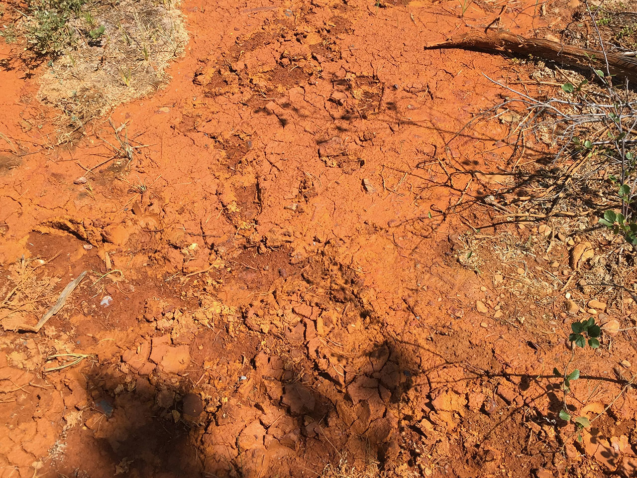
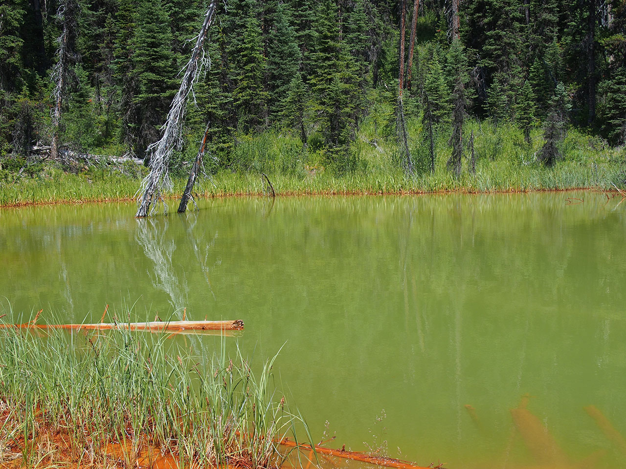
The second stop was just a few kilometers down the road at the Paint Pots. This is a short walk along a set of relatively slow creeks that have picked up vivid colors—yellows, oranges, reds—from iron oxides (ocher) in the rock. The results are large dry areas that have deep colors as well as the beds of the streams themselves. This area was discovered by Native Americans many years ago who collected the dried mud and used it to create pigments for body painting and drawing. Later on the dried mud was scooped up and carted away to a railroad line where it could be taken to factories for use in paint.
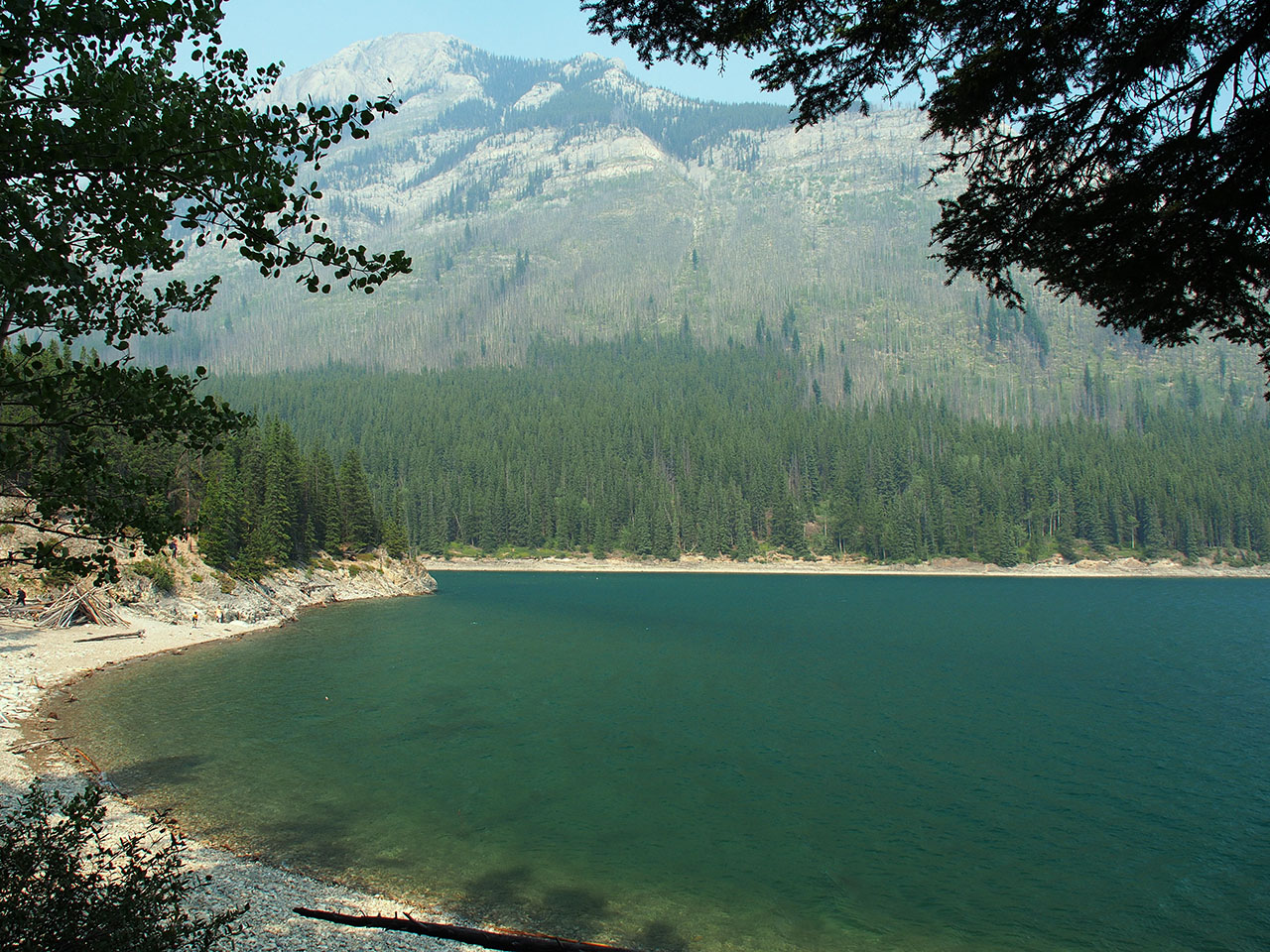
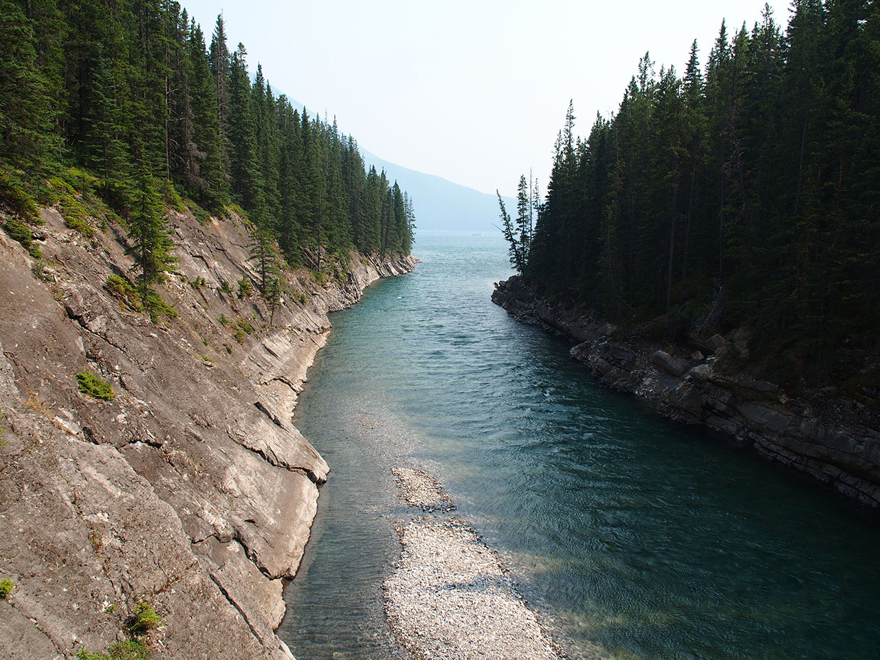
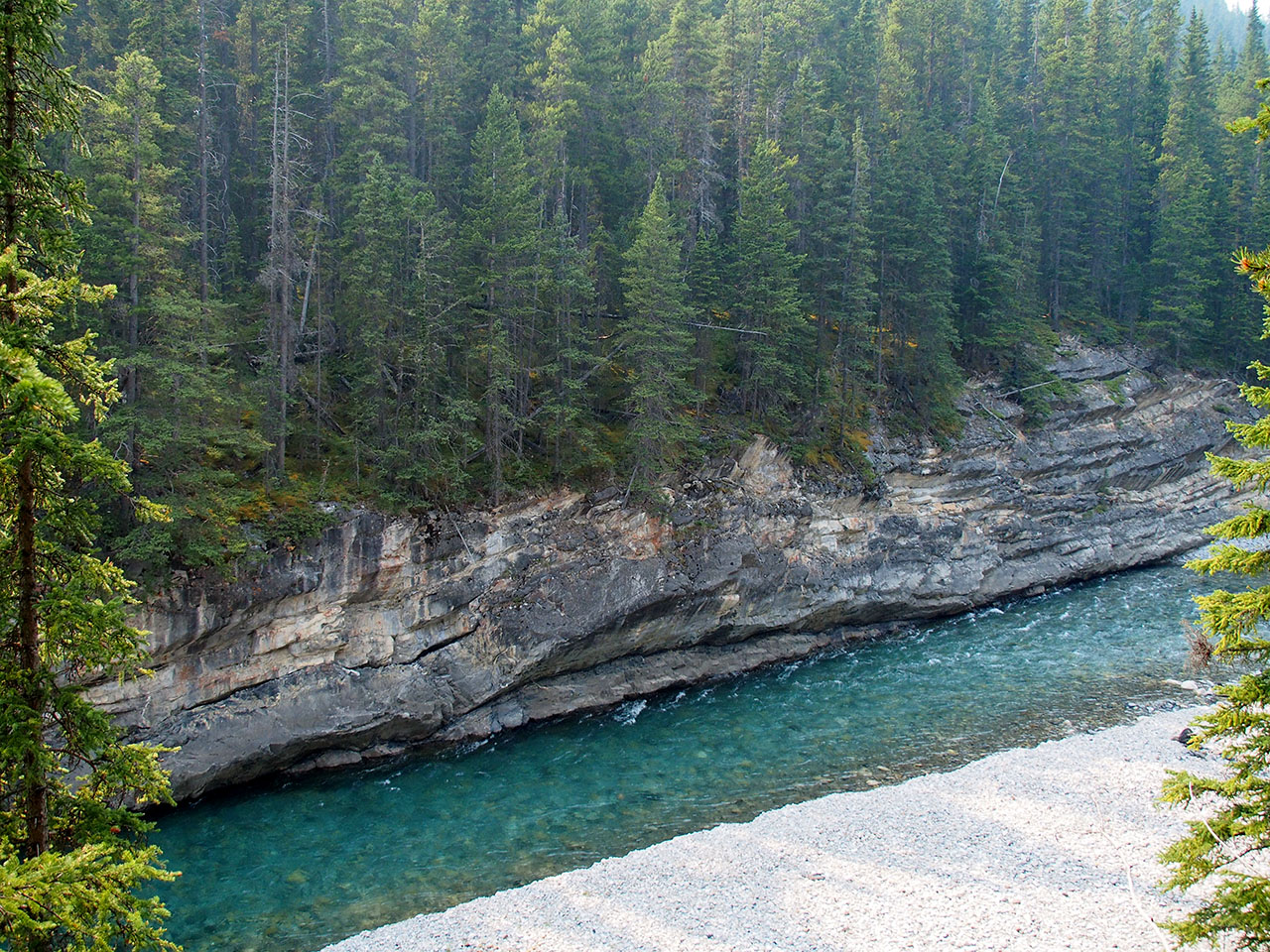
After the Paint Pots we headed back to Banff for lunch and then drove north a bit to Lake Minnewanka which is the body of water in Banff National Park. We walked along one side of the lake and through the woods a bit to Stewart Canyon which is a canyon cut by the Cascade River which feeds the lake.
After Lake Minnewanka we drove back to Canmore, did some shopping, and made some dinner.
Links:
--
Larry and Eileen Samberg


