Eagle Pass on the Greenleaf Trail
Saturday, 07-Jul-2018
Tags: NH / Hiking
This is not a trail guide. If you are planning to hike any of these trails refer to a real trail guide such as
(for the White Mountains) the
AMC White Mountain Guide.
The Greenleaf Trail runs from the Cannon Mtn. Tramway Parking lot on the west side of the Franconia Notch Parkway to the summit of Mt. Lafayette. It goes by the Greenleaf Hut on a shoulder of Mt. Lafayette about 1.1 miles from the summit. There is a separate dirt parking lot for hikers (as opposed to tram visitors) that is to the left upon entering the parking lot. This is a great trail to the hut and Mt. Lafayette, with much less traffic than the standard Bridle Path. (The Bridle Path ends at the hut and this trail continues to the summit).
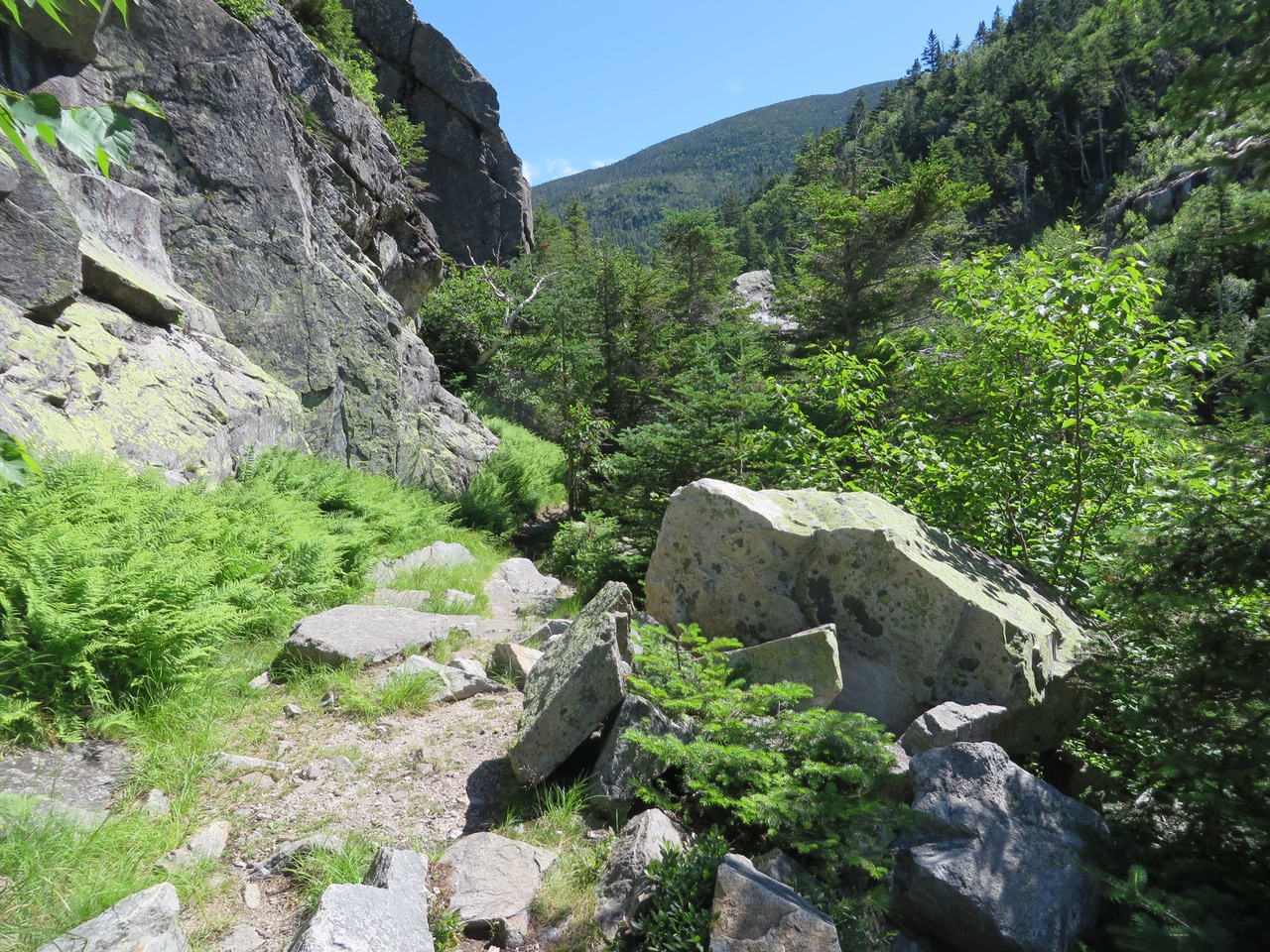
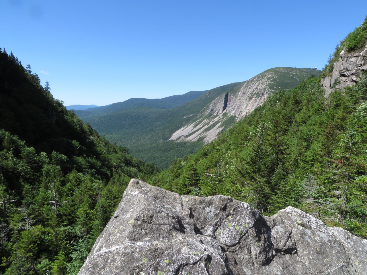
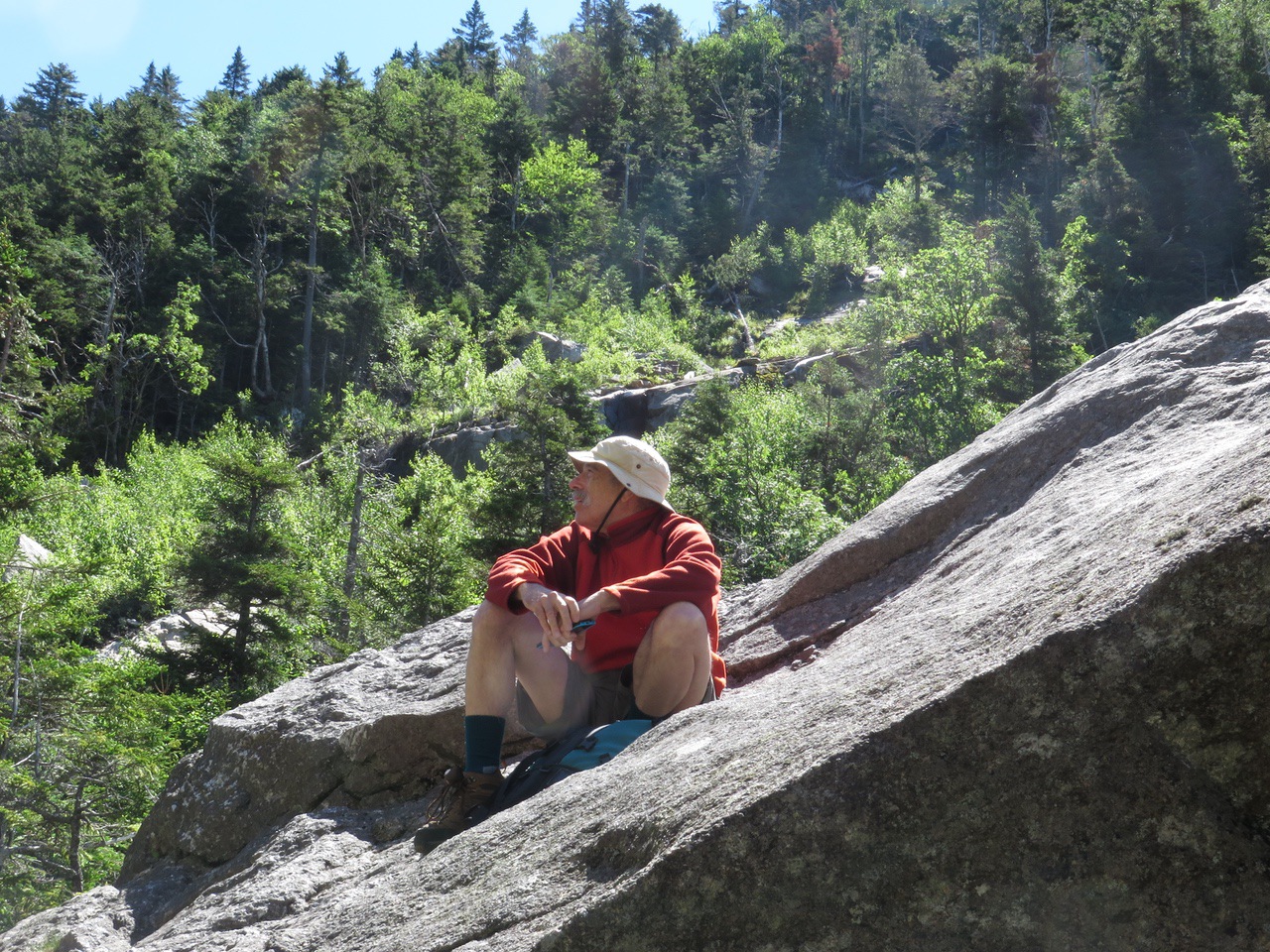
Along the way to the hut, the trail goes through Eagle Pass a wild, narrow cleft between Eagle Cliff and the west buttress of Mt. Lafayette, about 1.5 miles from the parking lot. There is a large slanted slab of granite to climb up and get great views. This was our goal for today (and other days when we just want to go some place to have a snack or eat some lunch).
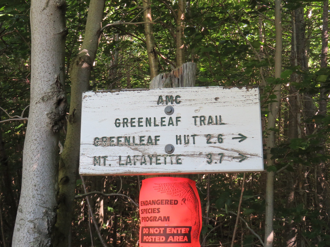
From the parking lot, you walk along the sidewalk through the parkway (I93) underpass, turn left, and follow the northbound ramp for 25 yards, then turn right across a ditch into the woods. The sign at the parking lot says 200 yards to the trailhead (elev. 1885 feet).
The trail runs (in the woods) southeast parallel to the parkway with rocky footing and minor ups and downs, and at some point, turns sharply left and climbs moderately by numerous switchbacks to Eagle Pass at 1.25 miles from the trailhead (elev. 2950 feet). Eagle Cliff itself (above the pass), a climbing destination, was closed due to Peregrine Falcon nesting.
The guide book claims that the trail is blazed in blue, but we only saw a single blaze for the entire hike (of course, we might have missed some). The trail was usually pretty easy to follow—even though it is lightly used there are reasonable wear tracks—but we did lose it once or twice and had to adjust.
The hike took about 1 hour and 15 minutes up and about 1 hour down, with an elevation change of about bit over 1000 feet.
Trail sign at entrance into the woods.
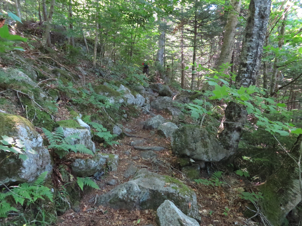
Typical trail, some spots more rocky.
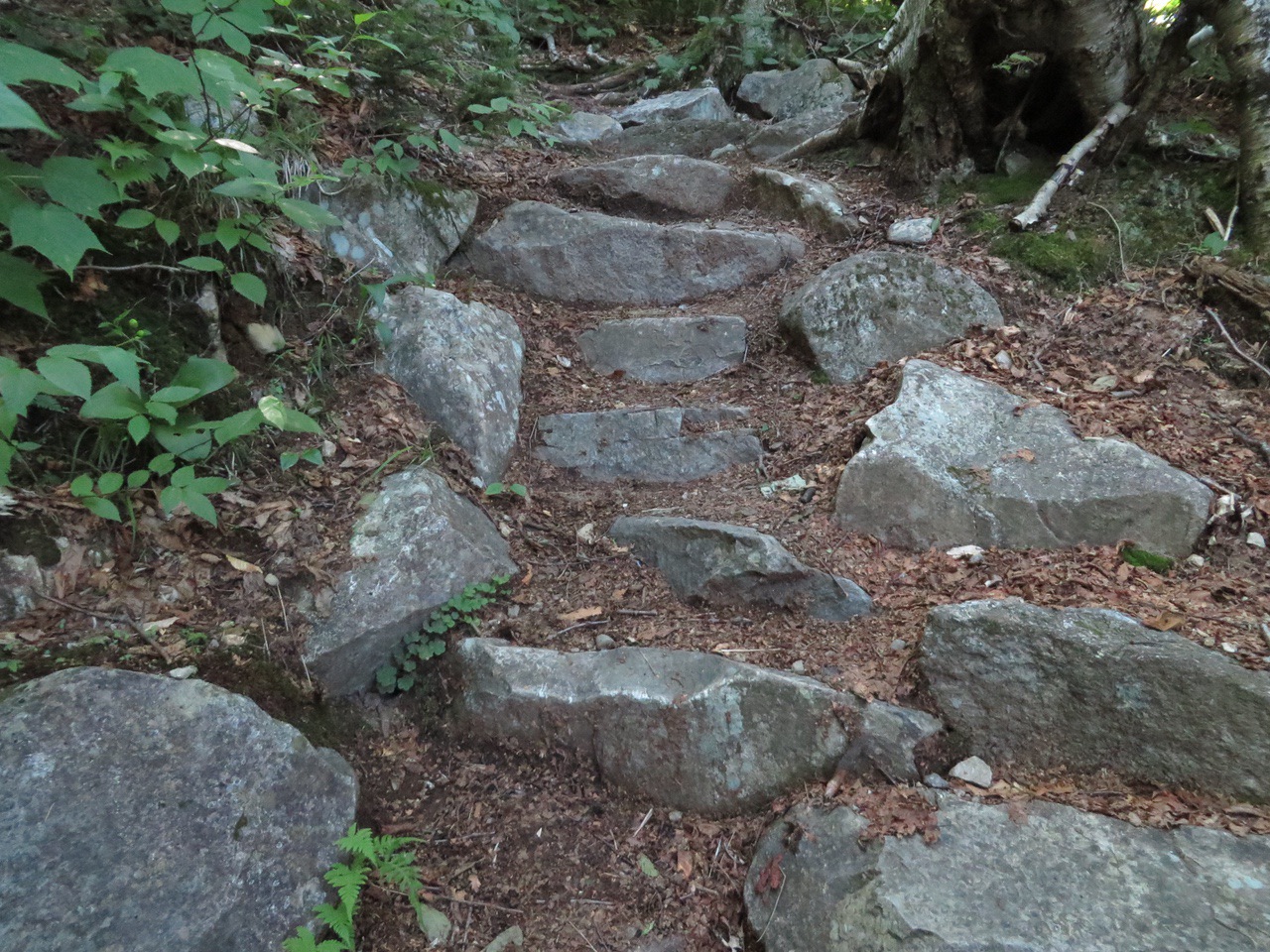
Nice trail work. Thanks for the steps.
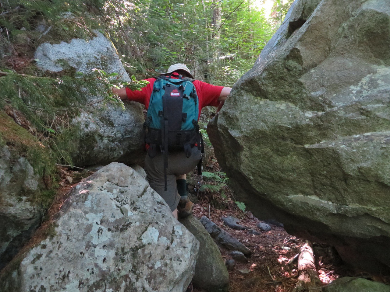
A tight spot on the trail.
At Eagle Pass.
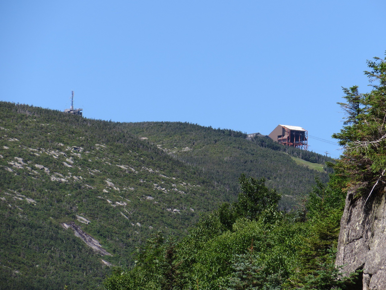
A zoomed view of the Cannon Tram from Eagle Pass.
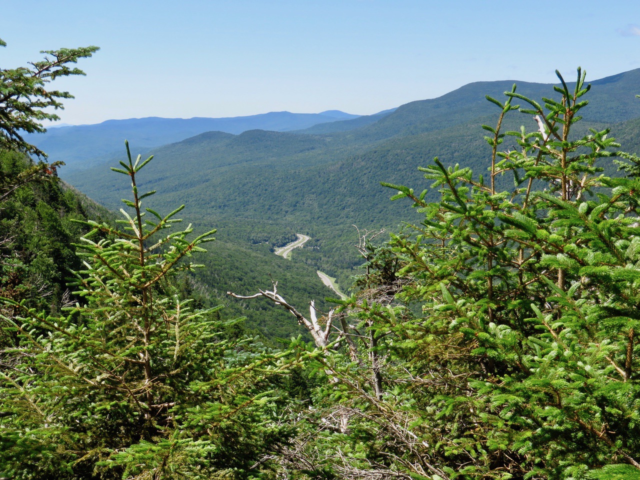
A look out down the notch.
Guess who.
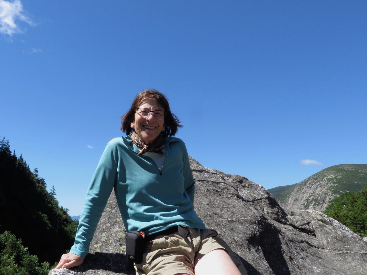
Larry enjoying the day.
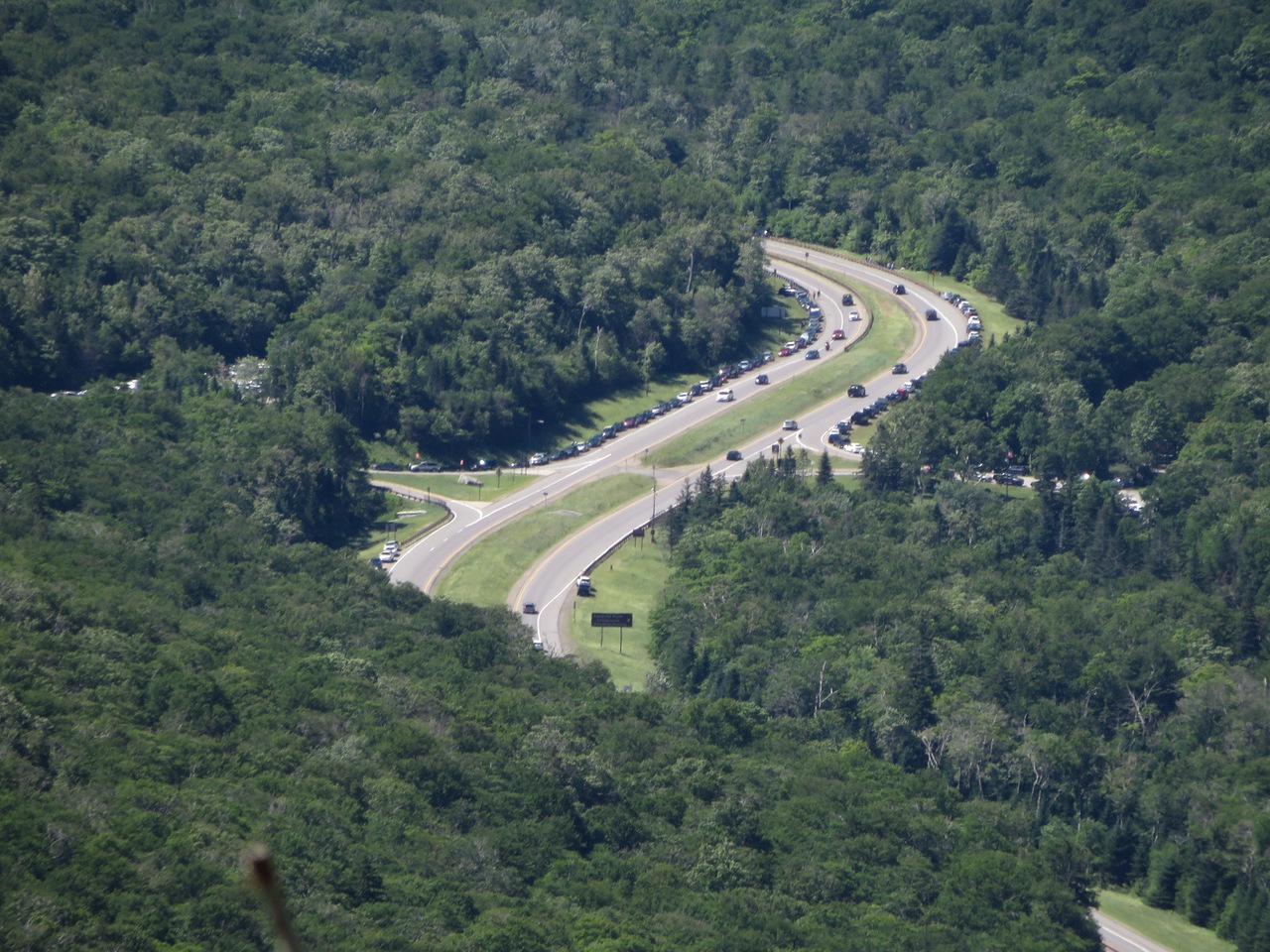
We have never seen so many cars at the Bridal Path/Fallings Waters parking lot on the left and Lafayette Campground on the right. The line on the right spread down for at least a mile past this picture. There are now posted signed not to park on I-93, but….
Another view into the notch.
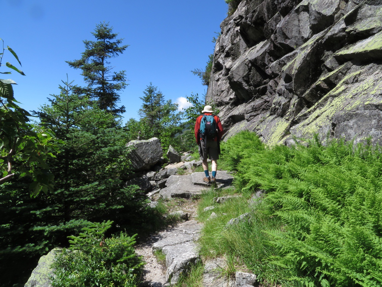
Heading back down after a snack.
--
Larry and Eileen Samberg


