Ottawa, Ontario
Monday, 24-Oct-2016
Tags: Travel
Larry was attending his MEF quarterly meeting in Kanata, the high-tech zone of Ottawa, about 20 minutes west of Ottawa. I drove along to keep him company. While he worked, I played (as usual).
We stayed at the delightful
Windsong Bed and Breakfast in Carp, Ontario, about a 15-minute drive roughly south of Kanata. We ate dinner on Monday night at
The Glen, a Scottish-style restaurant, in Stittsville. We both had fish and chips, quite good. Larry had one of their light batter styles and fries, and I had dusted, pan-seared, and sweet potato fries.
Monday, October 24
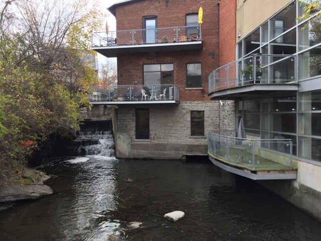
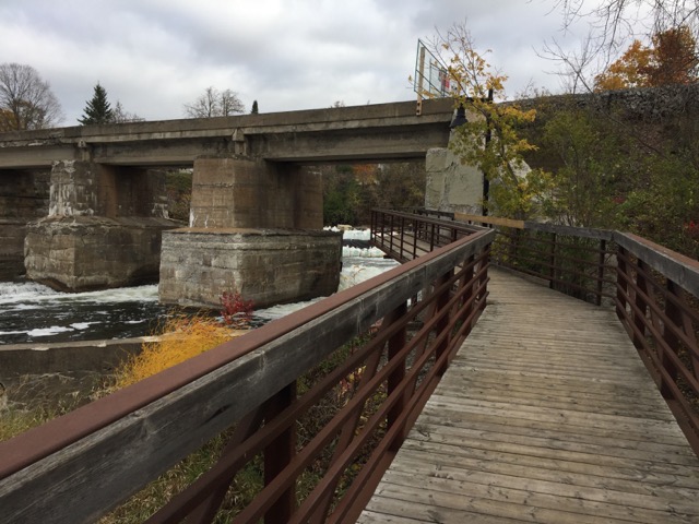
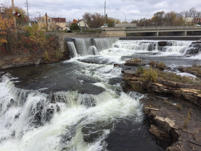
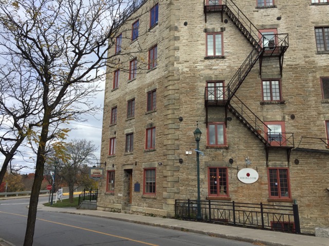
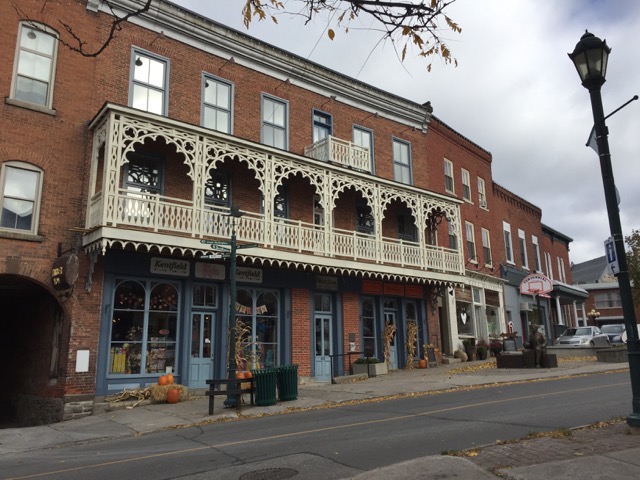
My first stop was the quaint town Almonte.
Wikipedia: Almonte is a former mill town located in Lanark County, in the eastern portion of Ontario, Canada. Formerly a separate municipality, Almonte is now a ward of the town of Mississippi Mills, which was created on January 1, 1998 by the merging of Almonte with Ramsay and Pakenham townships. A textile town almost from the start, by 1850 it was the home of seven busy woolen mills and was one of the leading centres in Ontario for the manufacture of woolen cloth.
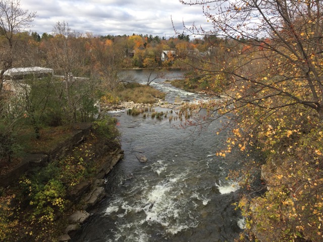
It has a short “riverwalk" along the rushing Mississippi River (not to be confused with the US Mississippi River), and a number of historic buildings, some nice restaurants. The mill buildings have all been turned into condos, restaurants, and retail space.
James Naismith, the inventor of basketball in 1891, was born in Almonte.
My next stop was the Mill of Kintail Conservation Area.
The
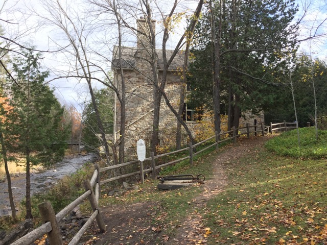
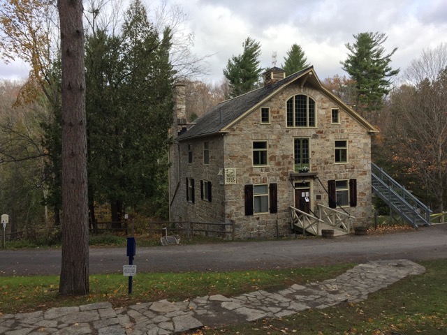
Mill of Kintail Conservation Area is a culture, historical, and environmental area, with hiking trails through the forest, along the river, and in field habitats. There is a restored grist mill museum, which was closed for the season – I took advantage of the hiking.
My third stop was the (undeveloped)
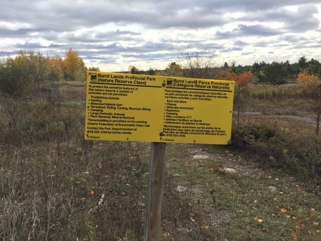
Burnt Lands Conservation Area, a short stop with just a few minutes walk, but I wanted to check it out a bit. It is out of season for the birding and flowers that people go for. I found an online note that said it is possible to park along the shoulder on Burnt Lands Road or Golden Line Road. I parked on Burnt Lands Road just northwest of Route 49 (Marsh Road) by a sign and a off-road path that was pointed out in the note.
Burnt Lands Provincial Park contains an extensive alvar ecosystem supporting a diversity of plant and animal species, many of which are provincially or regionally rare. An alvar is a biological environment based on a limestone plain with thin or no soil and, as a result, sparse grassland vegetation. Often flooded in the spring, and affected by drought in midsummer, alvars support a distinctive group of prairie-like plants.
Tuesday, October 25
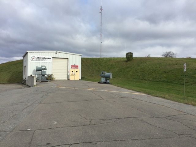
My amazing first stop was the Diefenbunker Cold War Museum in Carp. I took a 90-minute tour, which was extremely well-done. You can also just follow a map with numbered stops, using a phone app or a audio guide.
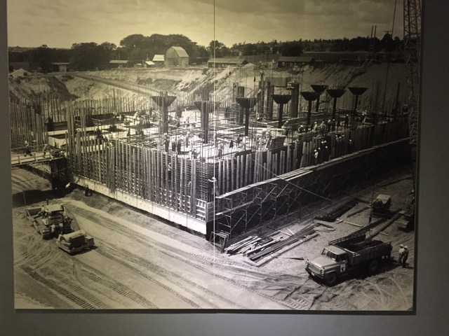
The Diefenbunker is a four-story, 100,000 square foot underground bunker, built between 1959 and 1961. During the Cold War it was intended to house 535 Canadian government officials and military officers in the event of a nuclear war. It served as Canadian Forces Station Carp until 1994. For years it protected them from 75 feet underground and the public knew virtually nothing about it. Today, it operates as a not-for-profit, charitable museum and boasts award winning tours and programs.
This facility is earthquake-proof, everything on shocks, including the gigantic Bank of Canada vault that was to house gold (when still on the gold standard). It had everything needed to house people for 30 days, theoretically the time it took for air-borne radiation to dissipate enough to venture outside. No families allowed by the way — they would have been sent out of Ottawa to other facilities if there was enough time. During the Cuban Missile Crisis the Bank had gold loaded on trucks ready to go. The Parliament debate whether to evacuate, or actually test out the evacuation, lasted longer than the crisis, so they never tested the facility, but for all those years, up to 150 military personnel lived there full-time, as it was also an active communications facility.
What you see above ground.
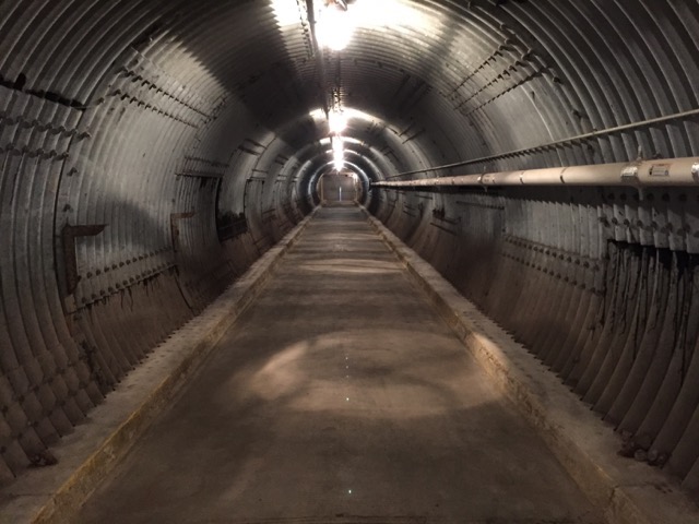
The blast tunnel, perpendicular to the entrance to the bunker.
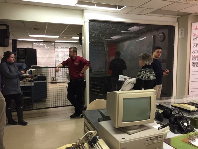
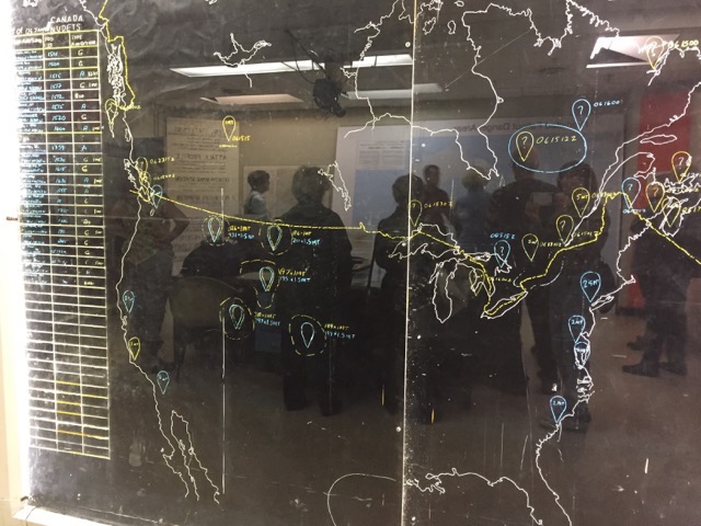
The command center.
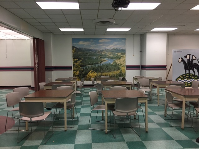
The cafeteria, the largest people space in the bunker.
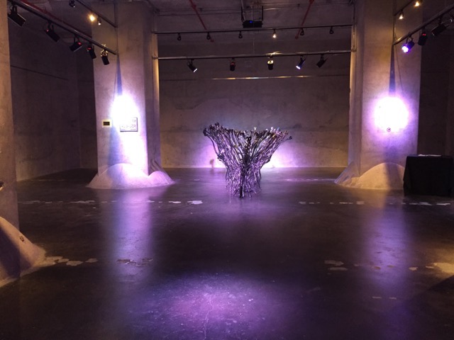
The Bank of Canada vault, with a sculpture inside.
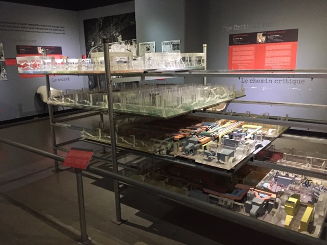
Model of the four-level bunker.
Picture of the construction.
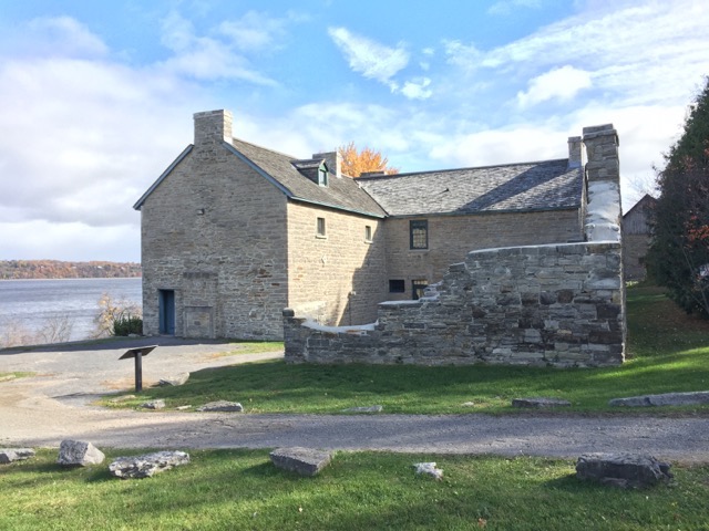
My second stop was Pinhey's Point Historic Site.
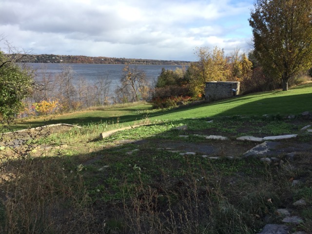
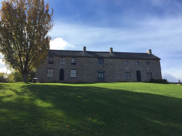
This historic site located on the Ottawa River. The site remained the property of the heirs of Hamnett Kirkes Pinhey until the 1970s, when the property was sold to the township. Today, The 88-acre (360,000 m2) heritage site is owned and operated by the City of Ottawa and Pinhey's home serves as a museum. The museum was closed for the season so I just walked around the grounds.
Back of the house and the remains of the stone kitchen, with the river beyond.
Looking from the front of the house down the terraced lawn to the river.
The front of the house (the very first house here was clapboard).
Standing at the water's edge, gazing out to the point (for ecology reasons, it's off limits).
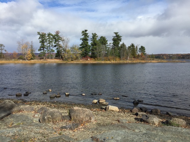
Hard to see, but Ottawa in the distance.
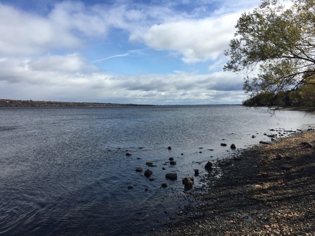
Third stop was the South March Highlands Conservation Area.
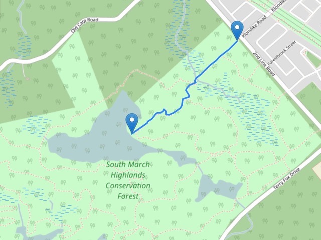
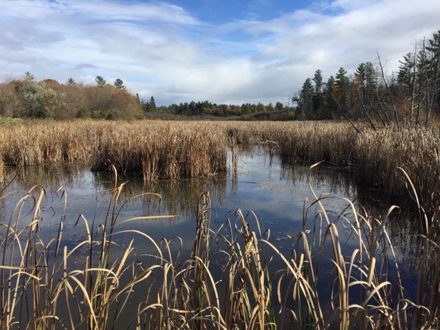
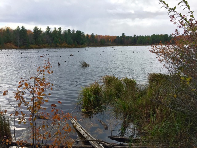
This spot is practically in the high tech area. It's a large expanse of land, a major mountain biking (and hiking) area. I walked a small section, about 0.65 miles each way. Especially in the fall, it's real important to use a GPS tracker as signs are only at intersections or major turns in the trail. I walked in a field area (with warning signs about wild parsnip, which causes a severe contact rash), through marsh on boardwalks, on trails in hardwoods, down to a lake and back.
My hike.
Marshland.
Boardwalk.
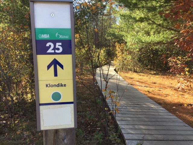
Woods.

My turnaround point.
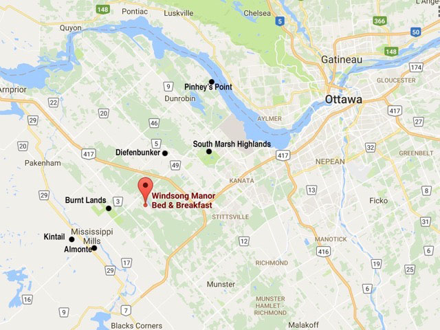
My travel stops:
--
Larry and Eileen Samberg


