Smarts Brook Ski Trail Area
Saturday, 17-Jan-2015
Tags: Hiking / Winter / NH
This is not a trail guide. If you are planning to hike any of these trails refer to a real trail guide such as
(for the White Mountains) the
AMC White Mountain Guide.
We had read several good reviews of the winter hiking/snowshoeing/skiing in this area and decided to try it ourselves. This area is in the Waterville Valley/Sandwich Notch area of New Hampshire.
The temperatures were below 0°F most of the morning so we waited until they got up to about 10°F before venturing out around 11:30. It was a sunny day, but cold.
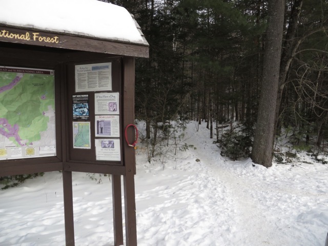
The area starts at a National Forest parking area on the south/east side of route 49 about 5.5 miles northeast of I93. There are five major interconnected trails. When we got to the trailhead we opted for the microspikes instead of snowshoes because the snow wasn’t very deep. It was a good decision since the trail was pretty packed down and the packed area was pretty narrow.
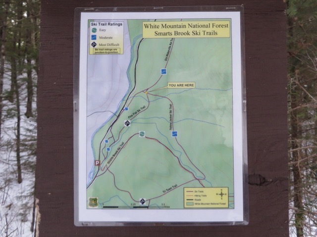
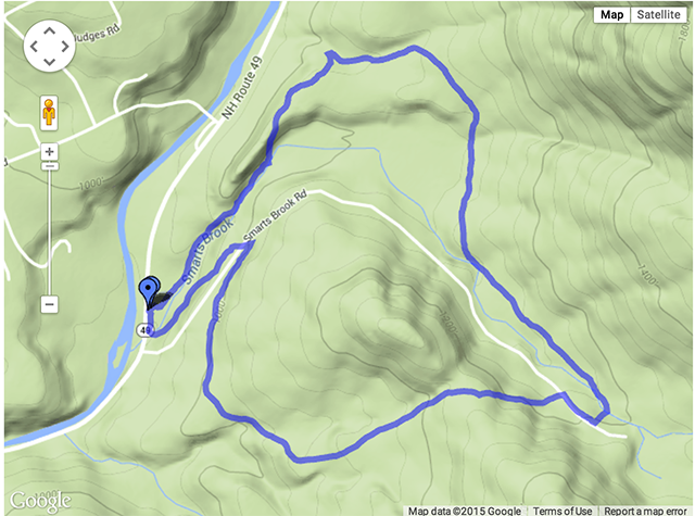
We started off on the Smarts Brook Trail. Our original intention was to walk .3 miles on the Smarts Brook Trail, diverge right to the Tri-town Trail, meet up with the Smarts Brook Trail 1.1 miles later, and then turn left down the Smarts Brook Trail for about a 2.8 mile loop. We ended up taking a bigger loop: Smarts to Tri-Town to Yellow Jacket to Pine Flats for about a 3.5 miles loop.
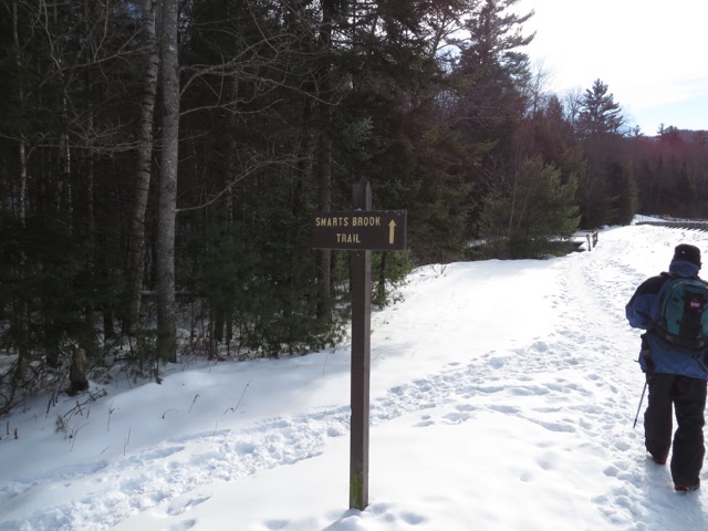
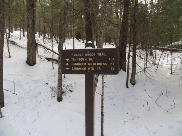
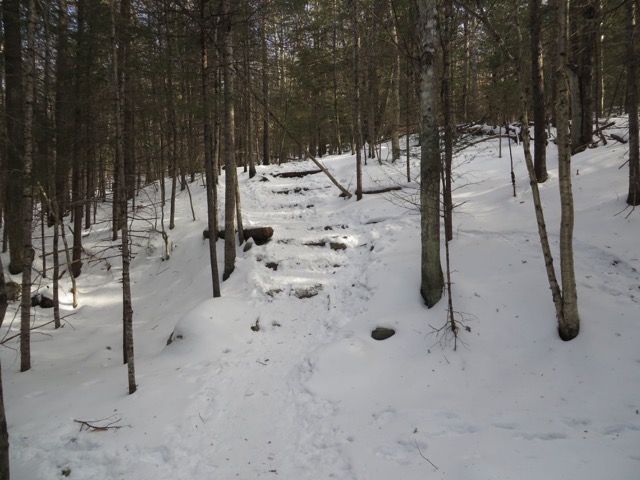
About 0.3 miles in we were supposed to turn right, but we didn’t (no sign). A old ski trail continued straight and it wasn’t until we’d walked another .2 mile or so that we realized that we should have turned. But the ski trail merged back with the Smarts Brook Trail and we turned right to double back to where we should have been. Not a big mistake, it cost us a bit over a quarter mile.
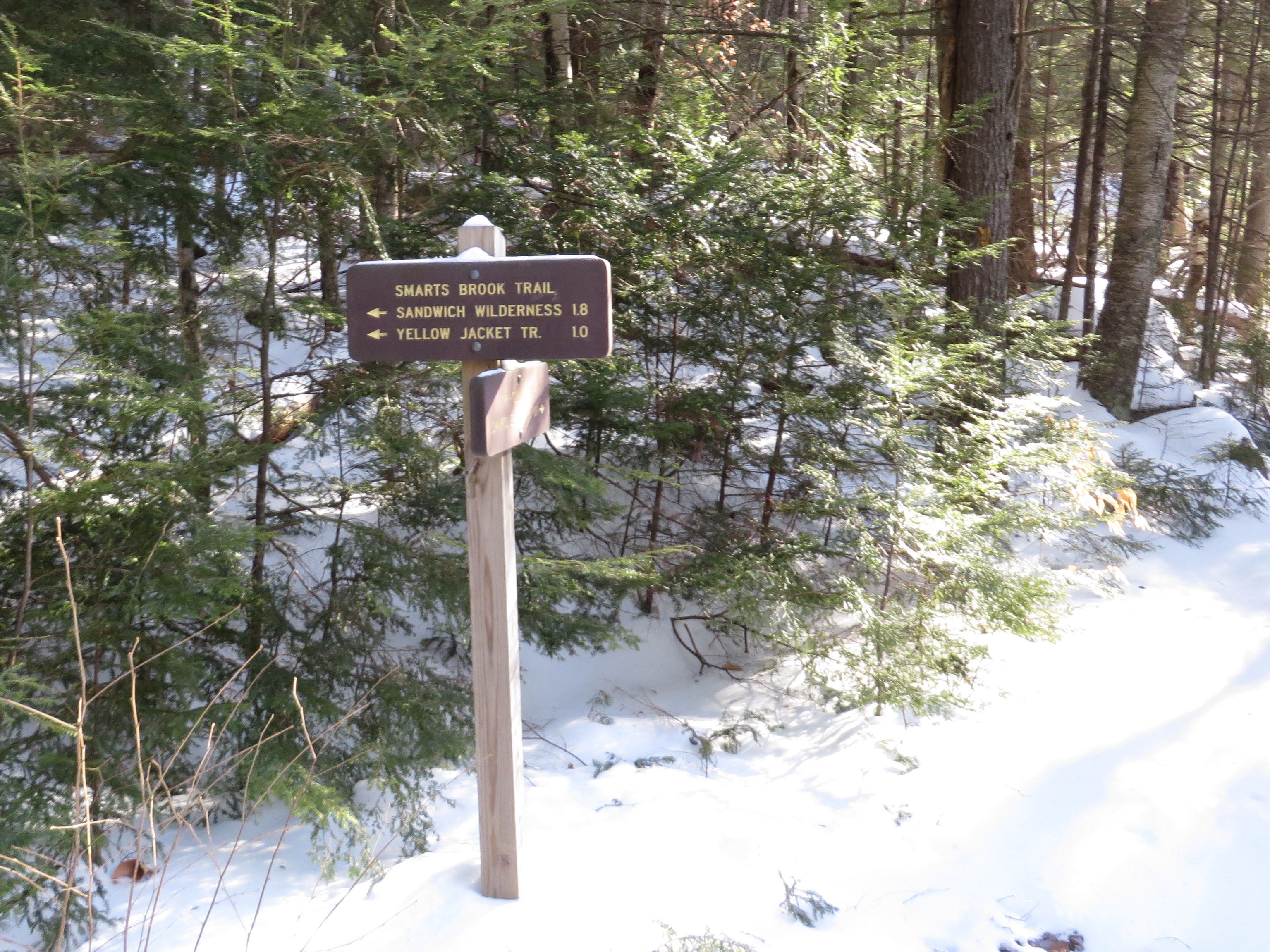
From the Smarts Brook Trail junction with the Tri-Town Trail, we started walking up the Tri-Town Trail. (This photo shows the sign for the direction we had just backtracked from. The sign that can’t be read is for the Tri-Town.) This trail climbs at a gentle grade for almost a mile (climbing less than 500 feet (from about 800 ft to 1280 ft), so not very steep) to the height of land and then descends for another quarter mile to the junction with the Smarts Brook Trail (which is the trail we diverged from near the beginning). Turning left here (northwest) on the Smarts Brook Trail would have looped us back to where we started. (This sign shows where we had just come from.)
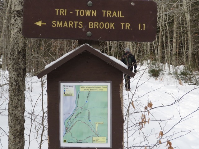
Instead, we turned right onto the Smarts Brook Trail for about 0.1 mile to the junction with the Yellow Jacket Trail.
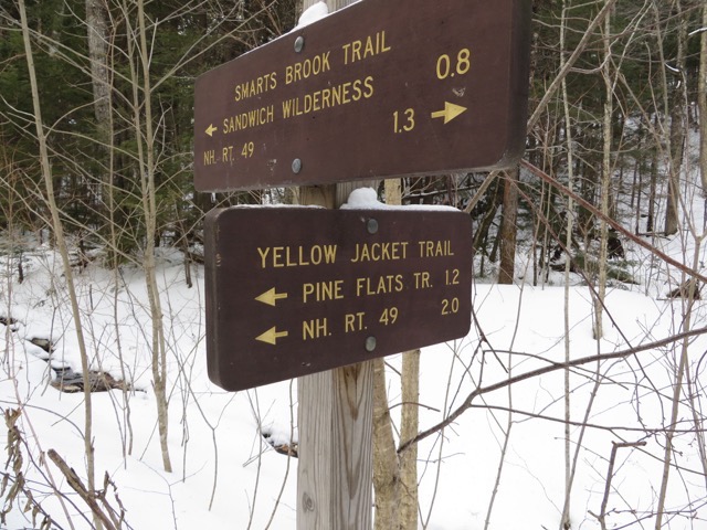
This immediately crossed Smarts Brook on a serious little bridge and then turned left.
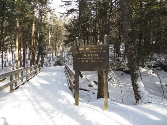
This trail continued for about 1.2 miles, mostly flat with a few rises until it hit the junction with the Pine Flats Trail which head southwest back towards the starting point.
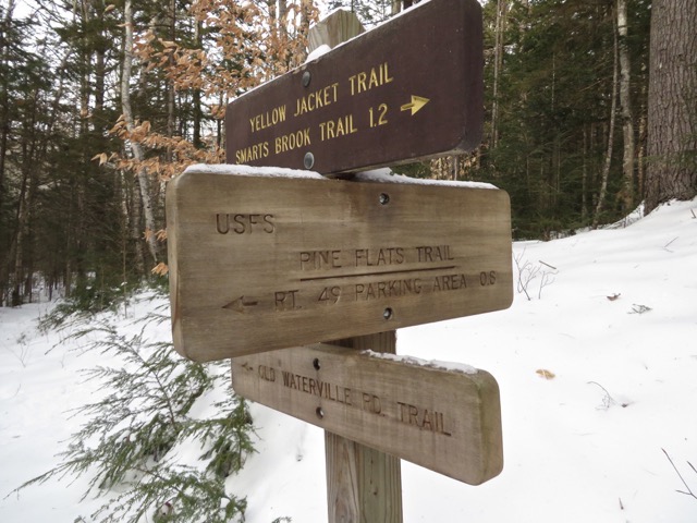
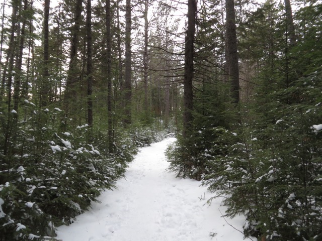
The Pine Flats Trail started down a few steep steps, crossed the brook, and continued flat for a while through a really pretty evergreen (some red pine which is not common in this area) forest.
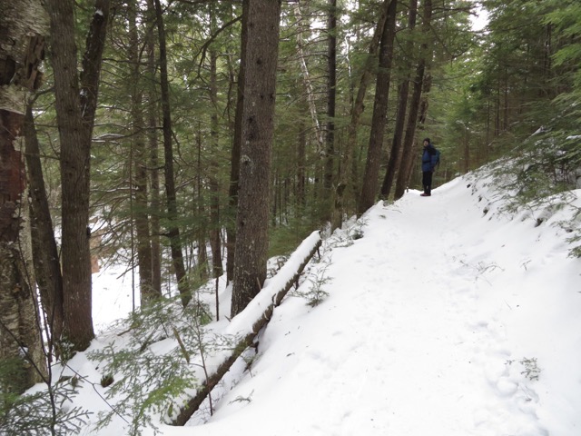
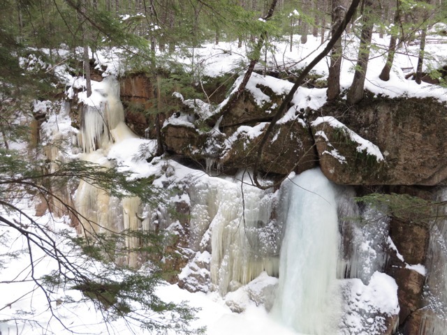
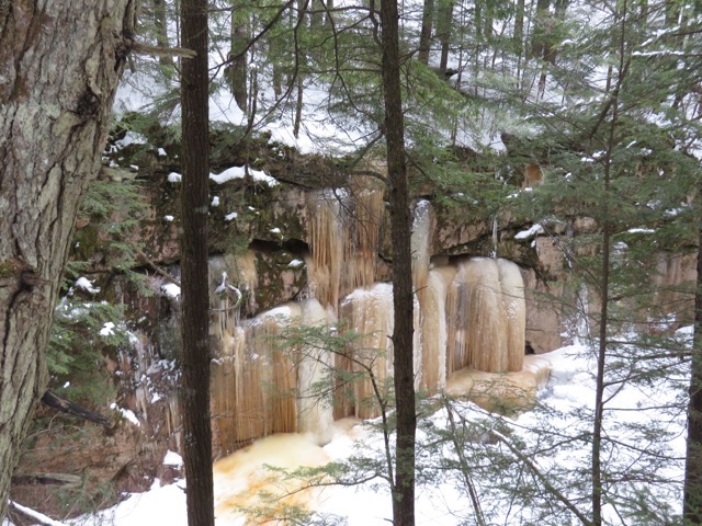
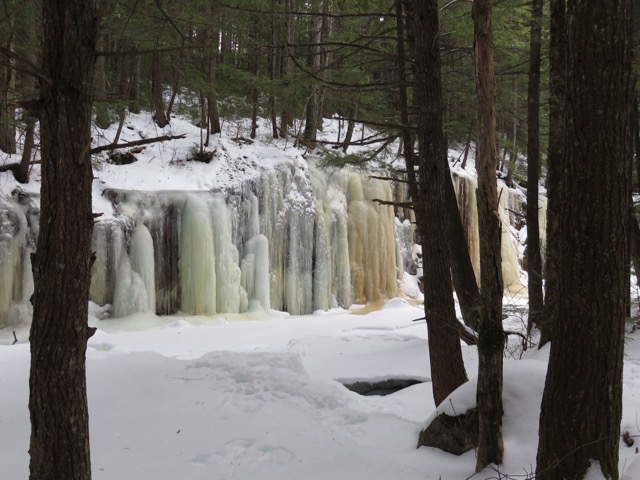
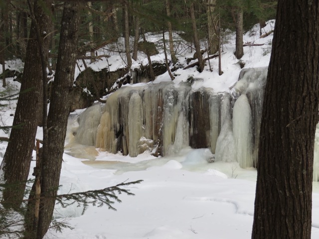
After about a quarter mile it descended sort of steeply for a few hundred feet into a gorge.
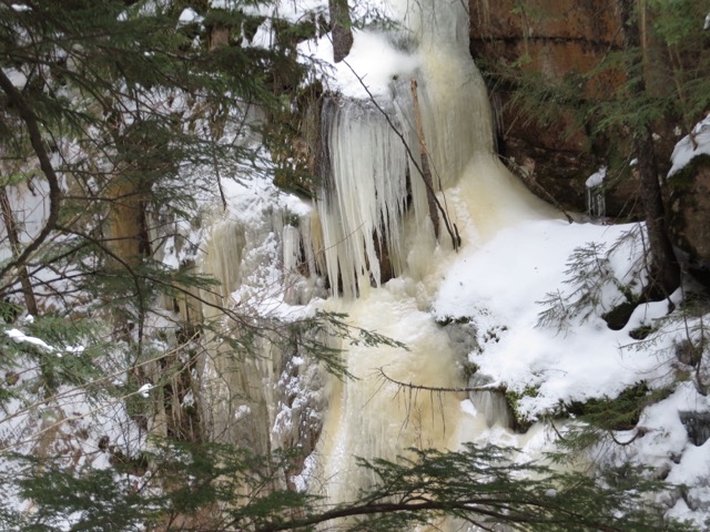
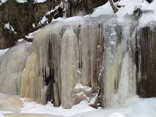
This was spectacular. Water flowing down the wall of the gorge picked up minerals from the rocks and turned colors from the minerals and froze solid into huge vertical icicles and ice walls. These ice formations went on for about a quarter mile.
After about 0.8 miles from the junction with the Yellow Jacket Trail we were back at the parking lot.
The Pine Flats Trail does not have a sign. It’s the trail closest to the White Mountain National Forest Pavilion.
The total hike was about 3.5 miles and took us less than 2 hours.
Other posts that refer to this post:


