Weeks State Park
Saturday, 26-Jul-2025
Tags: NH / Hiking
This is not a trail guide. If you are planning to hike any of these trails refer to a real trail guide such as
(for the White Mountains) the
AMC White Mountain Guide.
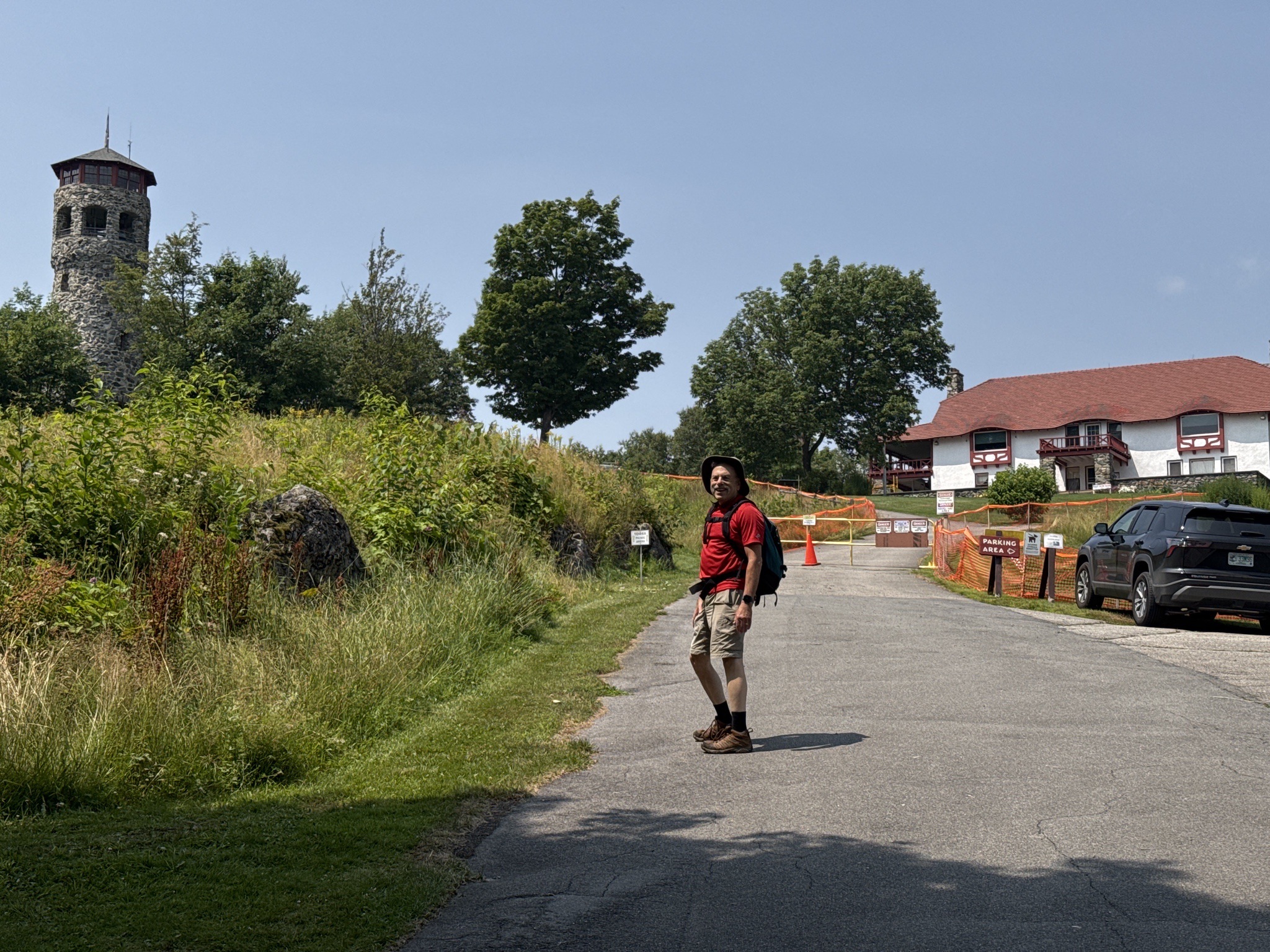
Weeks State Park is located on Mount Prospect just south of the downtown of Lancaster, New Hampshire. This 2058 foot mountain, in spite of the modest elevation of the peak, offers one of the finest views in the White Mountains. The summit is reached by a scenic auto road, open in the summer, but popular year round with walkers. There are trails as well, the Around the Mountain Loop, and an Old Carriage Road that runs between the Around the Mountain Loop and the summit.
The park is managed as a state historic site by the NH Division of Parks and Recreation. It honors Congressman John Wingate Weeks who sponsored legislation in 1911 to create national forests in the eastern United States. The Weeks Act allowed the federal government to buy the White Mountain National Forest in New Hampshire, now over 780,000 acres in size. Congressman Weeks built his summer home on Mount Prospect in 1912 consisting of an impressive lodge, a carriage house, an observation tower, and a scenic auto road. In 1941 the Weeks family donated the entire estate and 420 acres of land to the "people of New Hampshire." The lodge was placed on the National Register of Historic Places in 1985 and the lookout tower was placed on the National Register of Historic Lookout Towers in 1992.
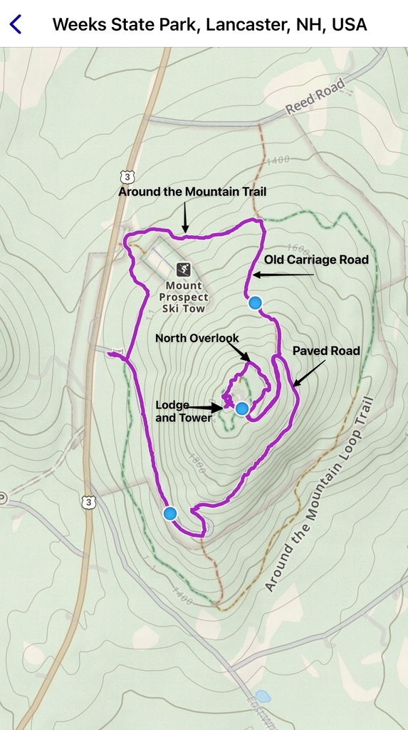
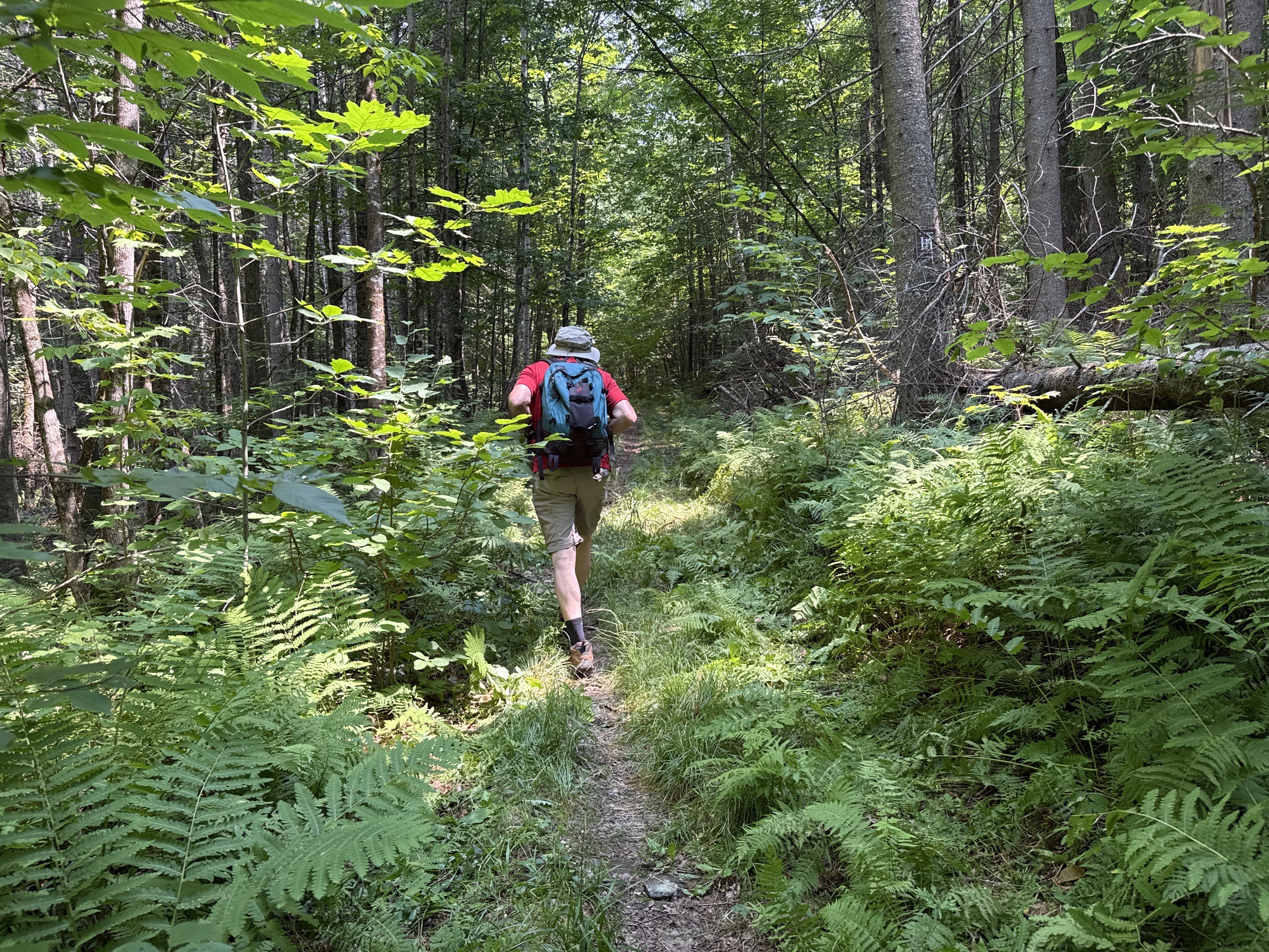
The parking lot is right off of US Route 3 in the town of Lancaster, at about an elevation of 1450 feet. Our route, after parking, was to walk clockwise along the Around the Mountain Loop Trail (ATMLT), passing the Mt. Prospect Ski Area (a small ski area with a tow rope) parking lot, turning up to the Old Carriage Road to the Summit, and finishing the loop by walking down the road to our car.
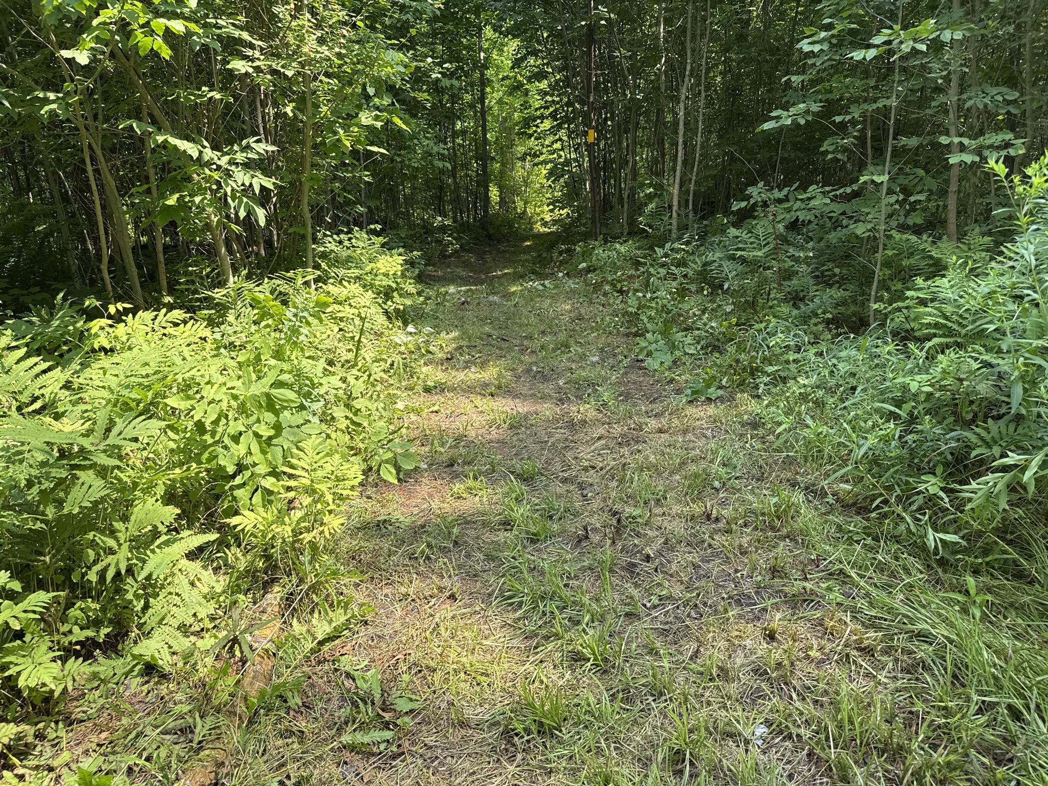
Along the ATMLT. The trail was a little overgrown, but not too bad.
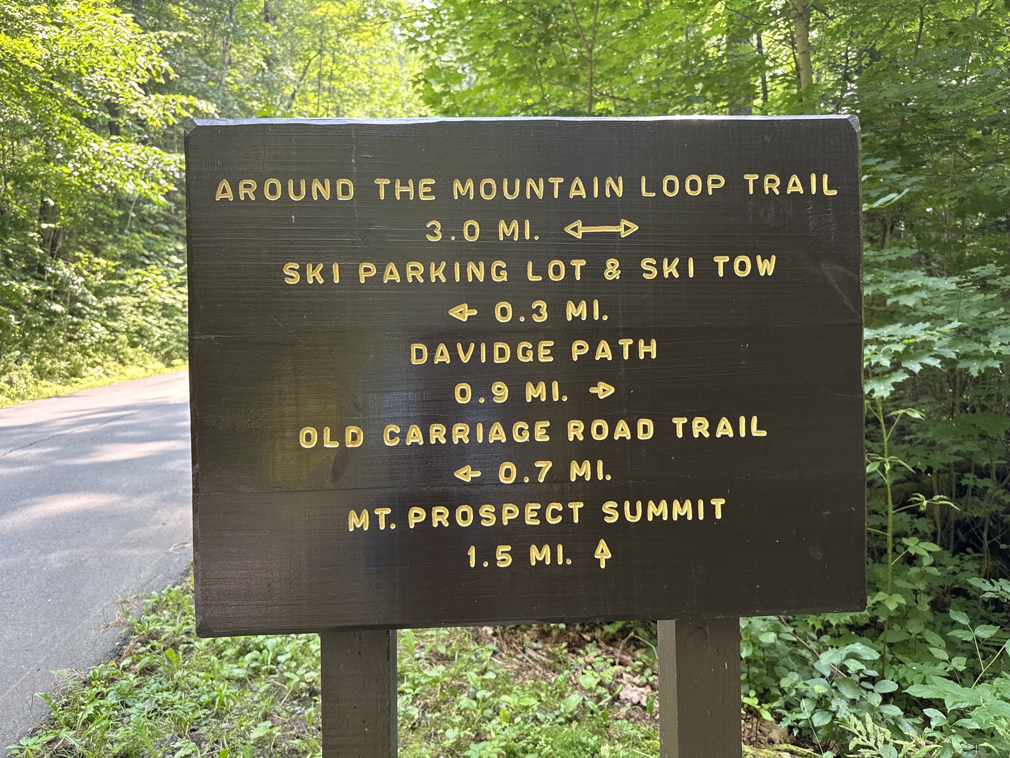
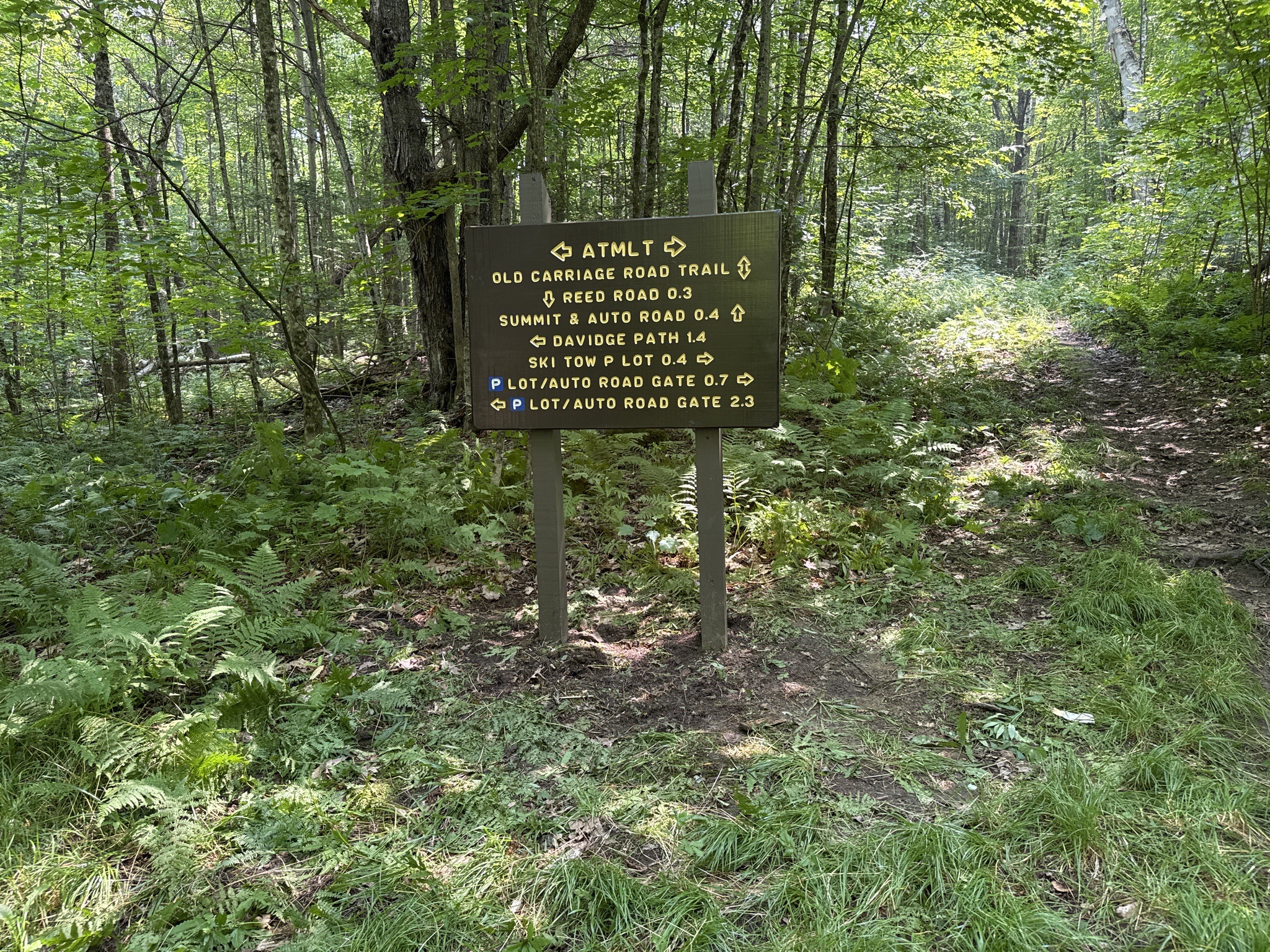
At the junction for the Old Carriage Road.
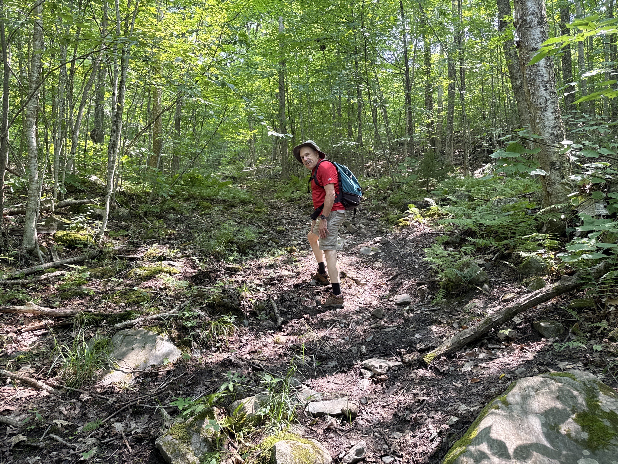
The Old Carriage Road was relatively steep in places but not real long. It also had a fair amount of erosion.
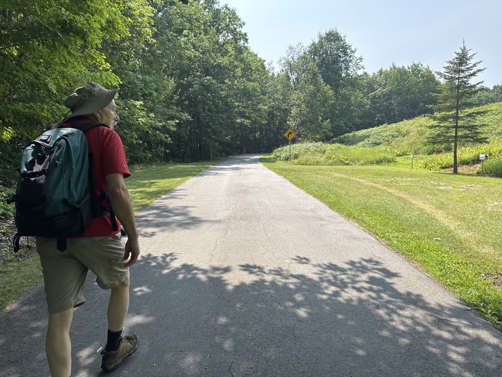
The Old Carriage Road met up with the paved road, and we walked to the tower and lodge. The lodge, which contains a museum, is closed for 2025 for renovations and work around the grounds.
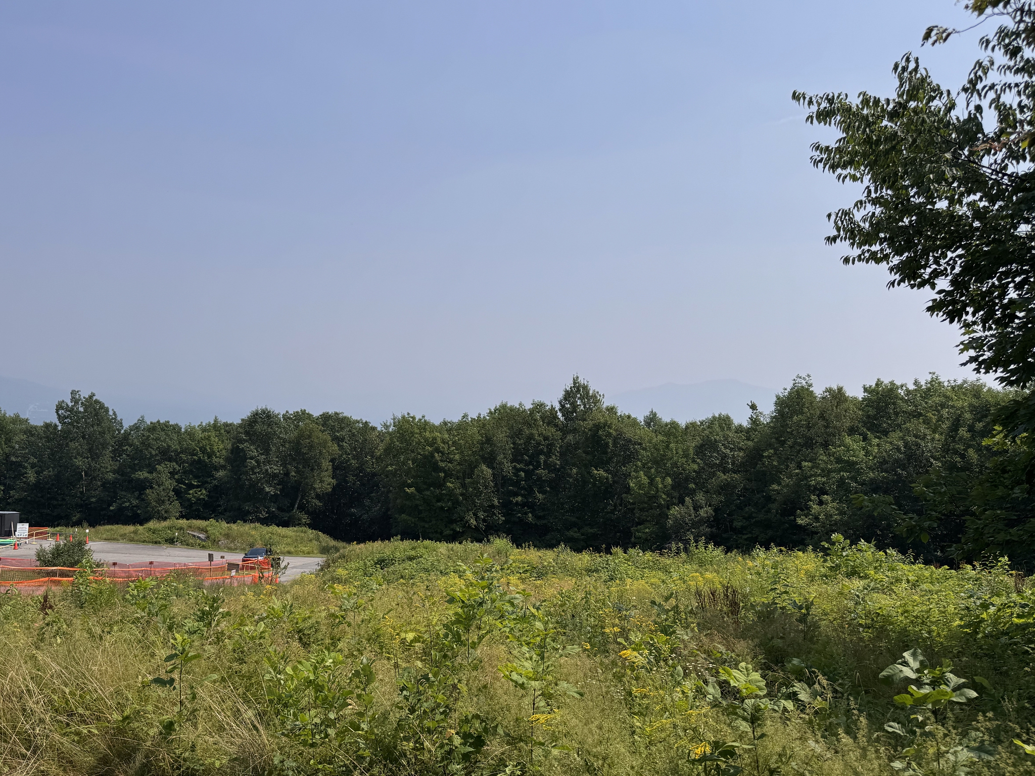
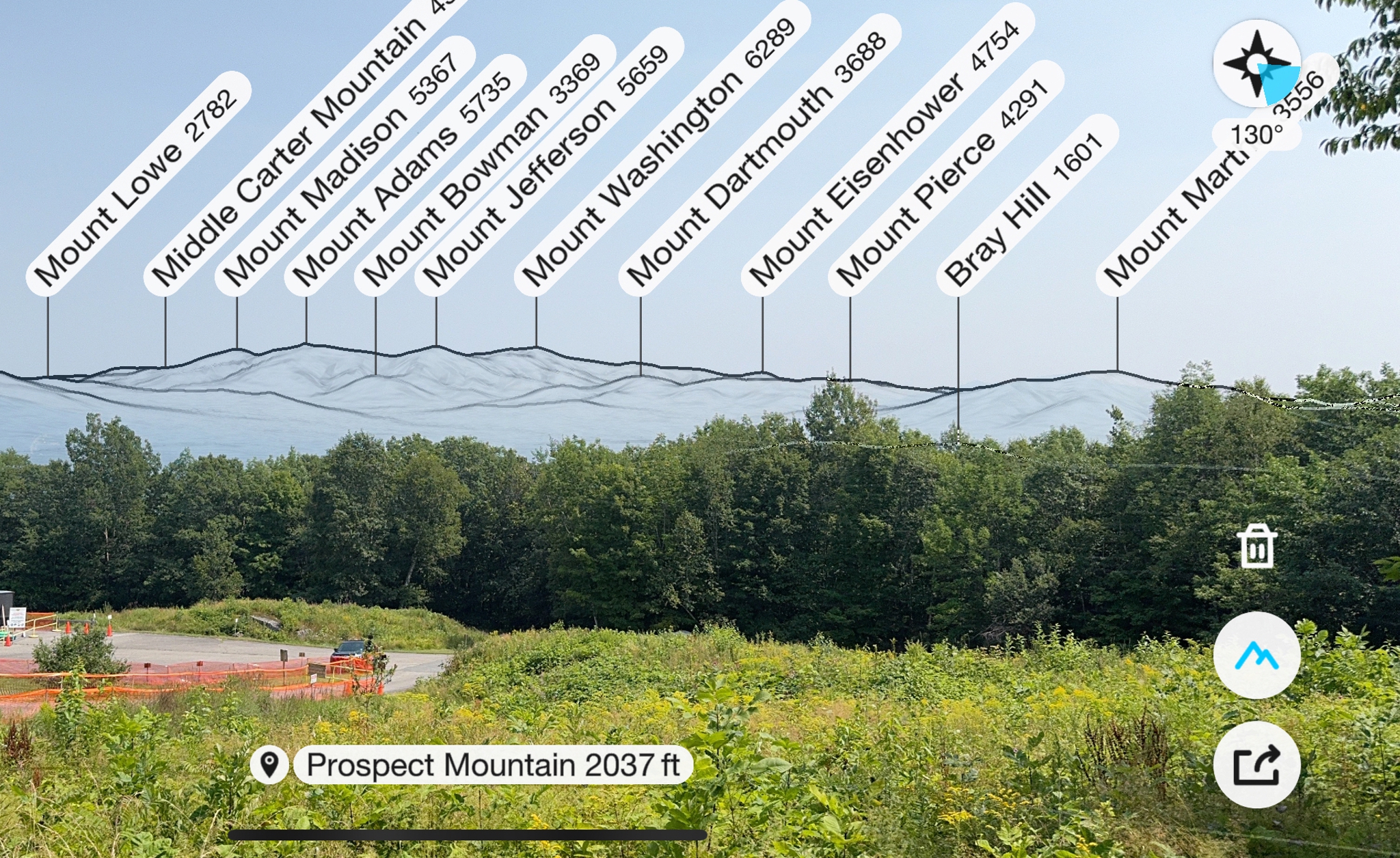
We climbed the observation tower, which has a 360° view, but with the smoke from fires in Canada, there was no view. Additionally, the metal in the tower was wreaking havoc with the compasses in our phones. Once we descended, we took this picture of what would have been a great view of the Presidential range. You can see what we were supposed to see with this shot from the Peak Finder app.
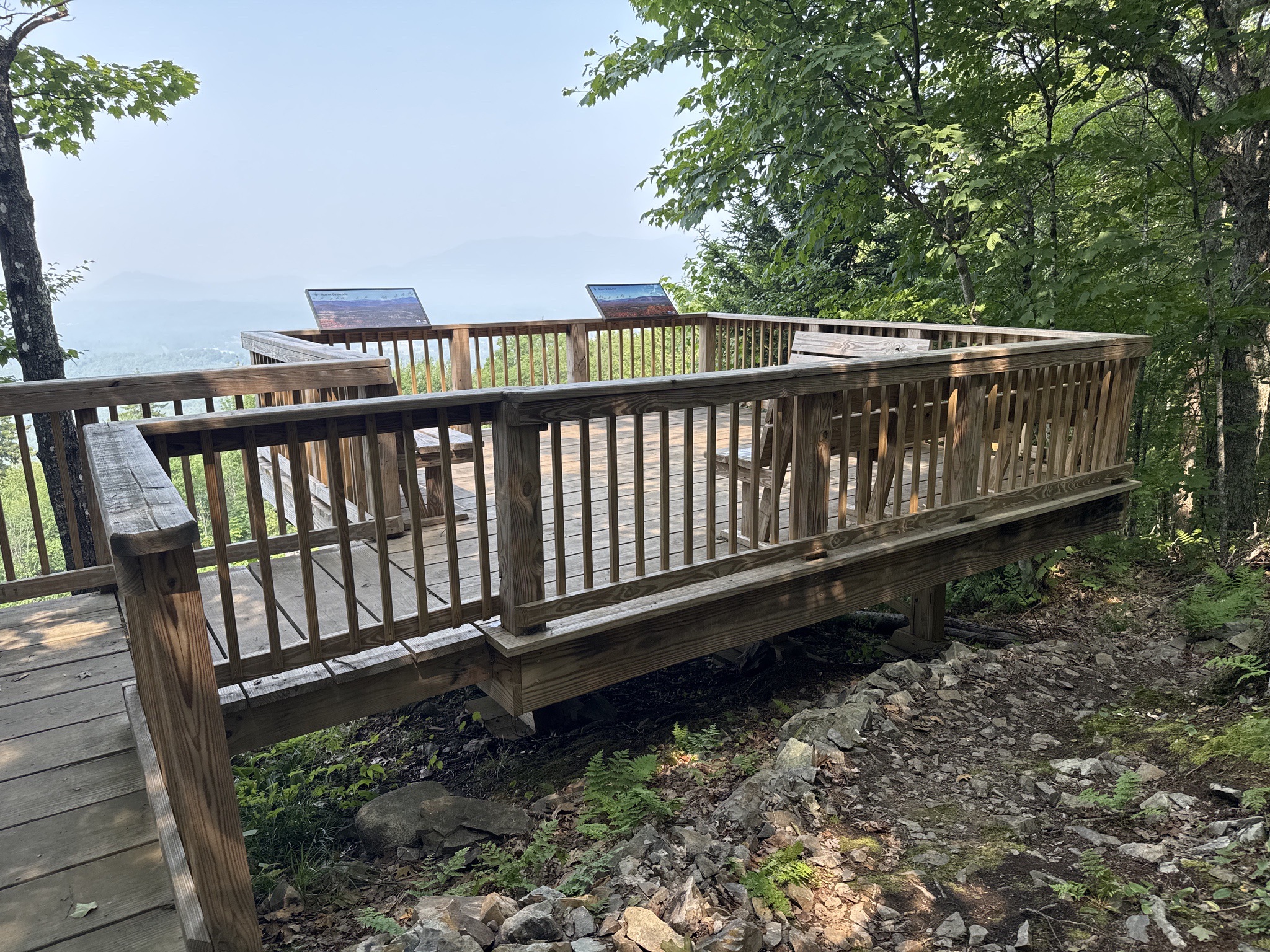
We then walked to the North Overlook on the Pat Nelson Trail loop, knowing we wouldn't get a view, but wanted to check it out. After doing so, we headed down the paved road back to our car. It was a really nice outing, one we should do again when the smoke is gone. The total walk was about 3.5 miles, with a gain of about 650 feet, and taking us 2.5 hours, including lots of stops for flowers and the walk up and down the tower.
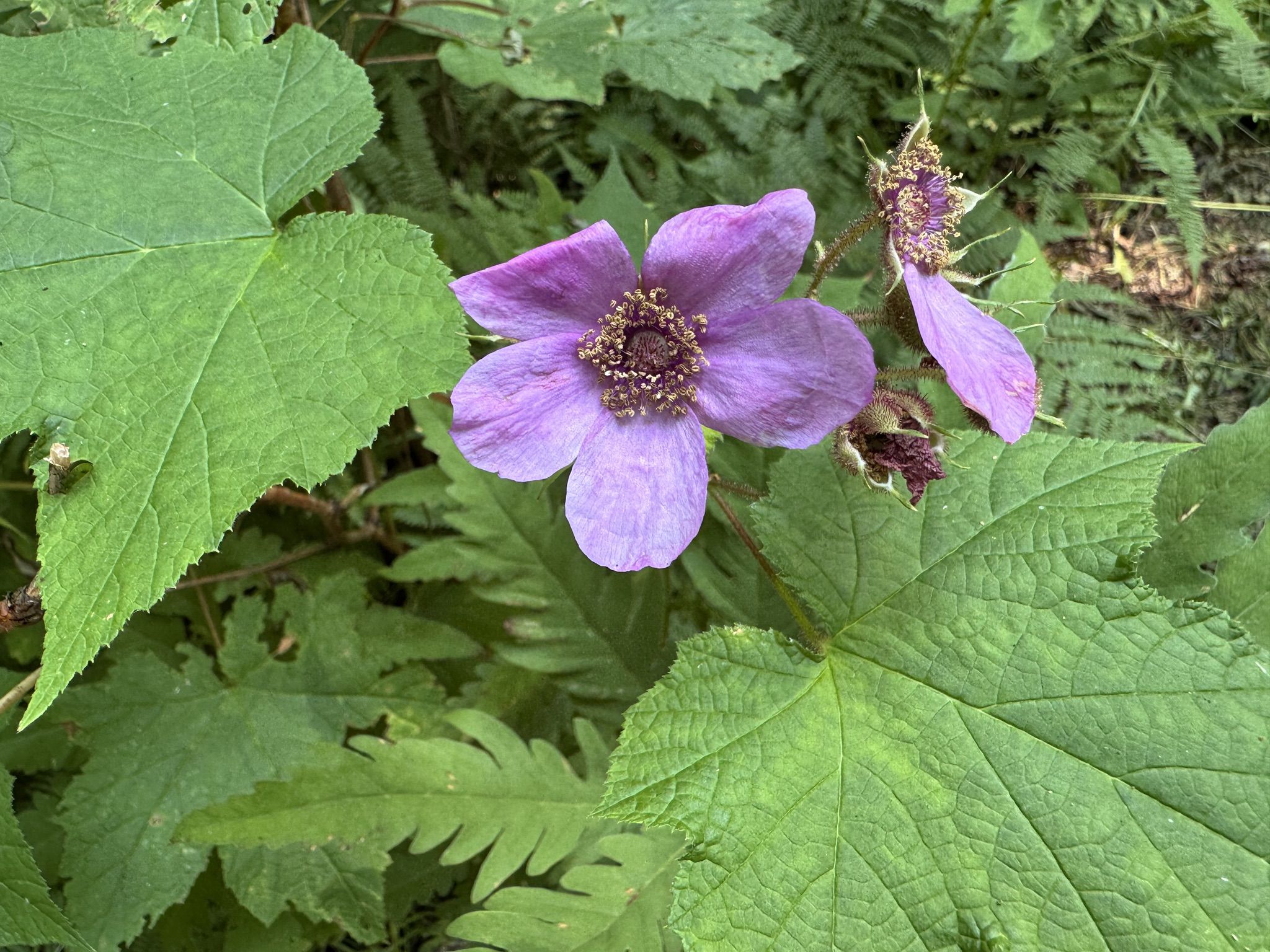
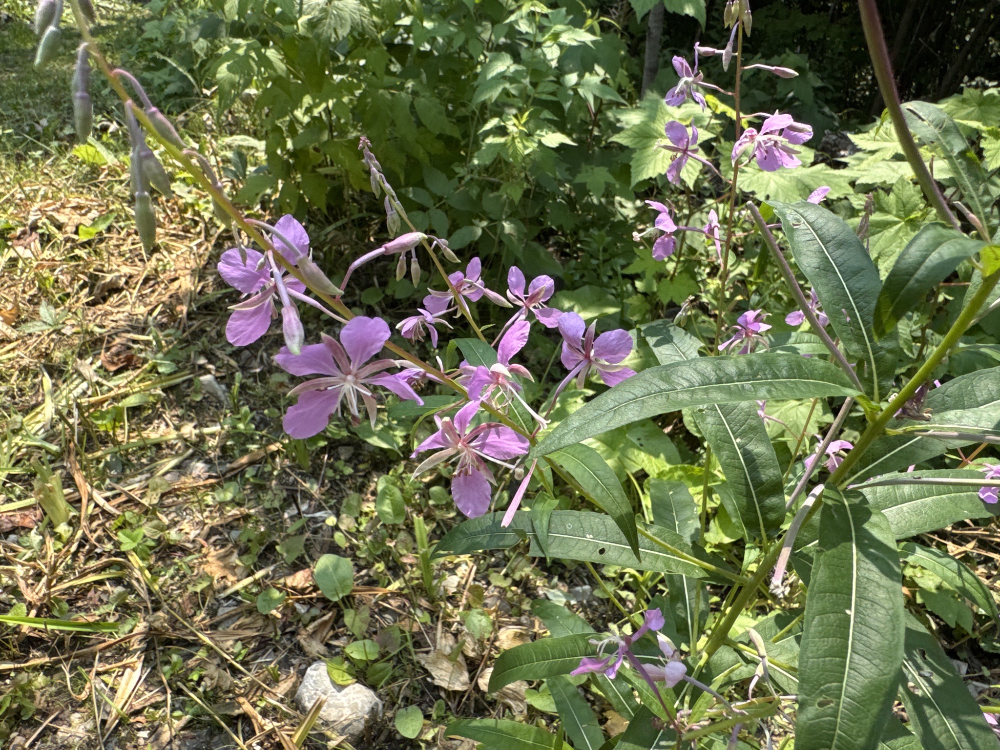
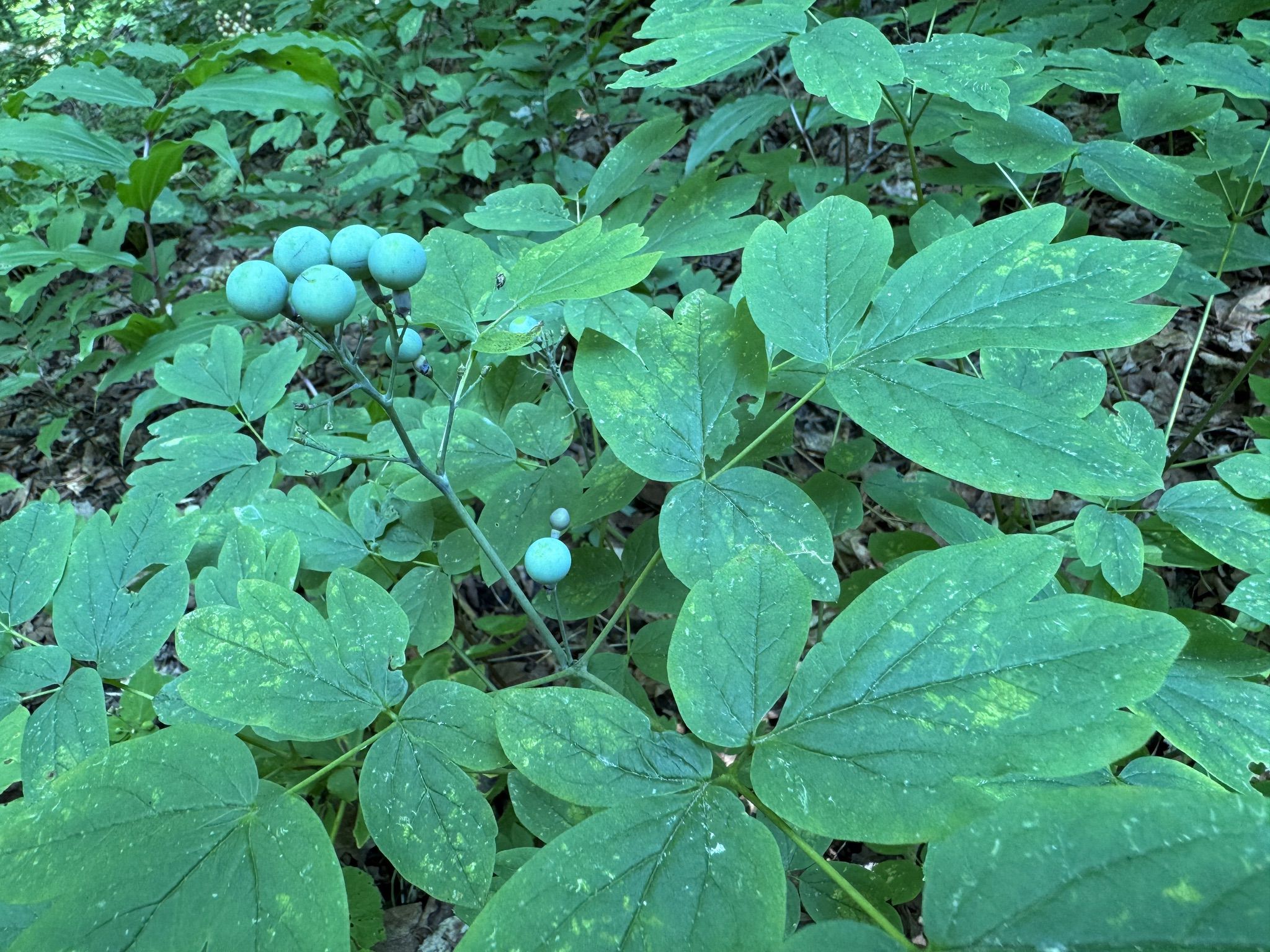
Some flowers along the way: purple flowering raspberry, fireweed, and blue cohosh.
--
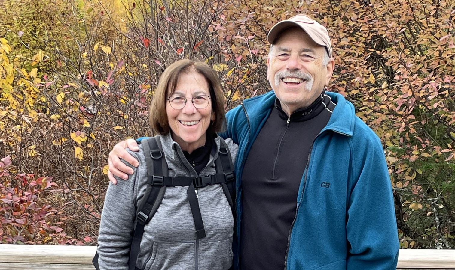
Larry and Eileen Samberg