NH – Middle Sugarloaf (Bethlehem, NH)
[Caution: This is not a trail guide. If you are planning to do this hike, consult a real trail guide (for example this one), have a map, compass, and other reasonable hiking equipment.]
Update: We hiked this again on November 20, 2020. We hiked both North and Middle Sugarloaf on May 27, 2022.
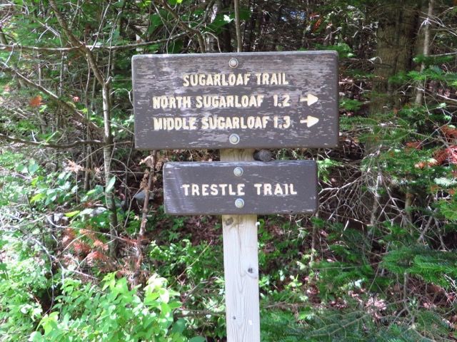
The Sugarloaf Trail leaves the Zealand Road about 1 mile from Rt. 302 and provides access to two peaks, North Sugarloaf and Middle Sugarloaf. Middle Sugarloaf is on the NH "52 with a view list". The hike to Middle Sugarloaf is about 1.4 miles and gains about 900 feet of elevation from about 1644 ft. to about 2539 ft. at the summit.
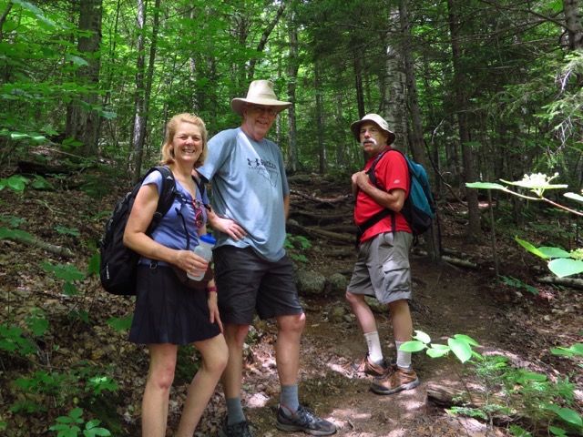
We have done this trip before, hiking to the top of both peaks; the last time we just hiked to North Sugarloaf with our friends Waldek and Irina. (blog post here) This time we hiked to Middle Sugarloaf with our friends Jim and Sue.
There is parking for the Sugarloaf trail just before the bridge at the end of the paved part of Zealand Road (the road turns to dirt after the bridge). The actual trailhead is on the far side of the bridge. It starts co-incident with the Trestle Trail along the Zealand River, but splits off to the left from the Trestle Trail (which has a warning that the bridge is out) at about 0.2 miles.
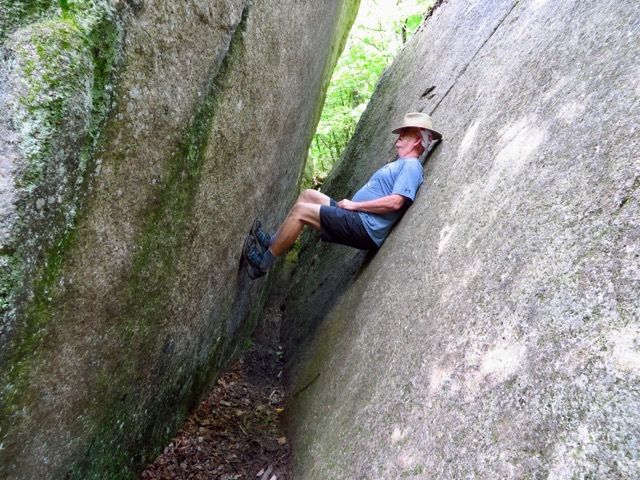
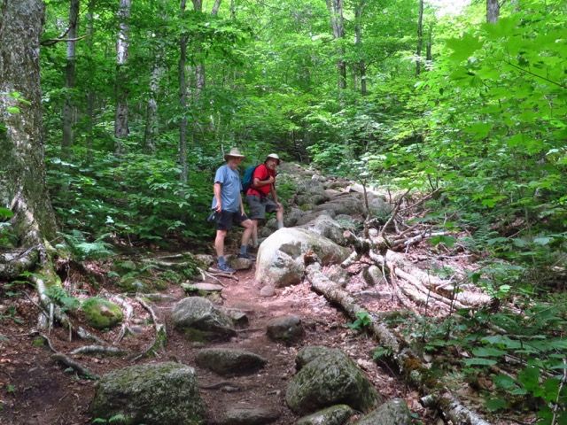
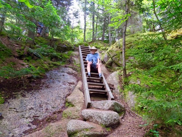
The trail crosses a logging road and climbs gradually, passing some large boulders we seem to always stop at and take pictures. There is an abrupt climb at 0.7 miles to the notch at 0.9 miles. The trail traverses a ridge for 0.2 mi, then turns right and climbs by switchbacks to Middle Sugarloaf, steep in the last section, and with a ladder to the summit.
Along the river.
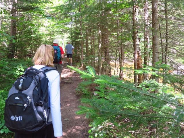
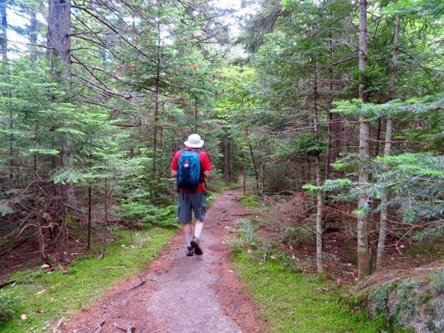
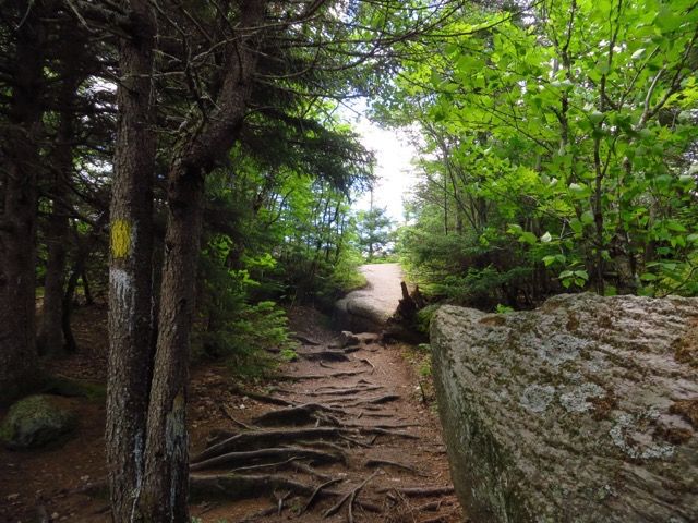
After turn away from river.
Too narrow to go through (at the bottom).
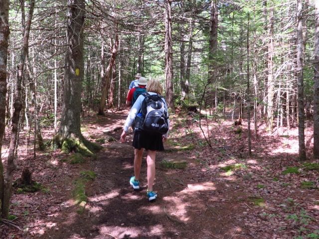
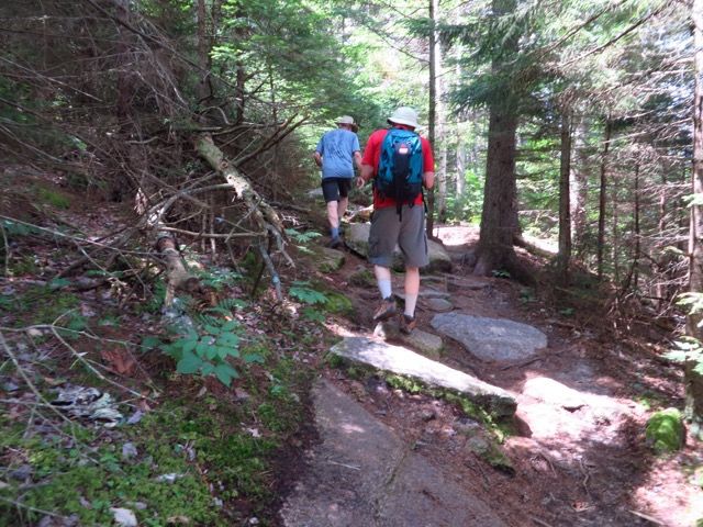
Heading up.
Almost at the junction.
Junction.

Ridge for a bit.
Switchbacks.
At the ladder.
There!
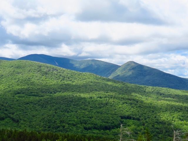
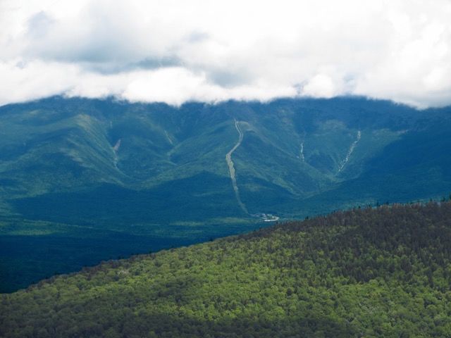
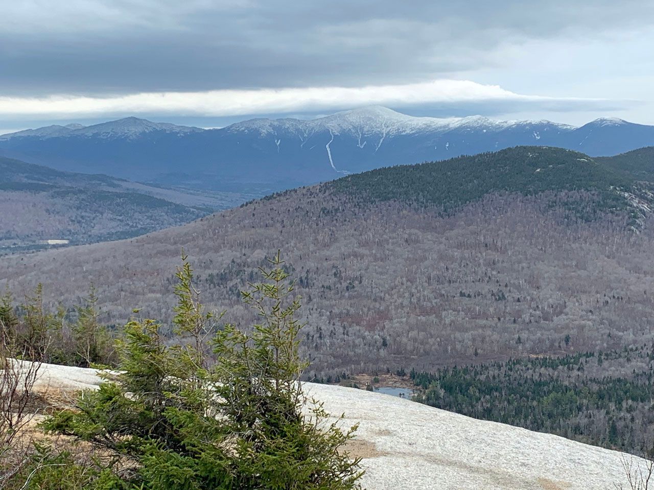
The trip took about an hour. The views were just about in all directions, though the peaks around Mt. Washington were cloud-covered.
South Twin on the left, North Twin on the right.
Washington in the clouds, the cog railway heading up to the peak.
Washington and the Presidentials on November 20, 2020
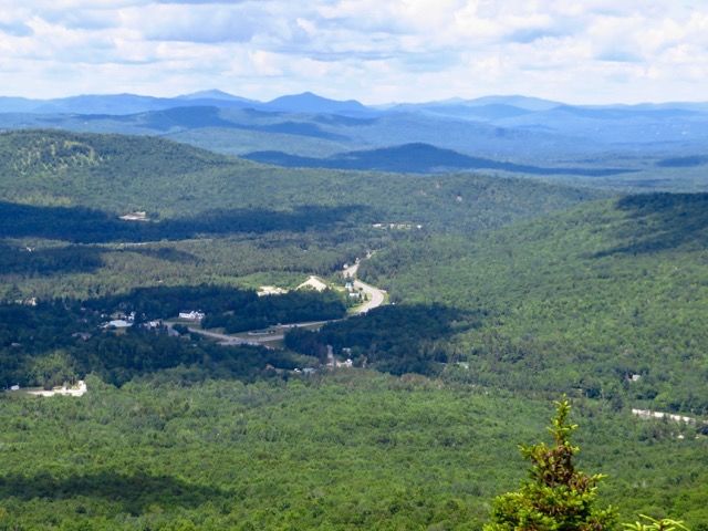
Looking north.
Double Samberging™ #Samberging.

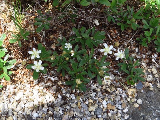
Sibbaldiopsis tridentata -- three-toothed-cinquefoil. On the peak.
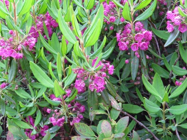
Kalmia angustifolia — sheep-laurel. On the peak.
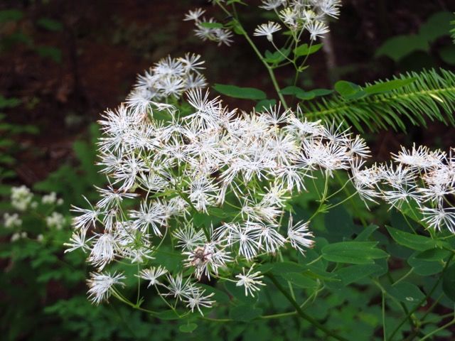
Thalictrum pubescens – tall meadow-rue. Down by the Zealand River on the way back to the trailhead.
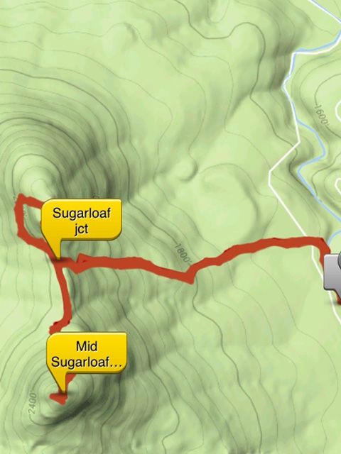
The map shows our previous path to North Sugarloaf as well.
At 1.4 miles to the top this is a short hike and on its face 900 feet of elevation over 1.4 miles is only 600 feet per mile which isn’t too bad, but a lot of the elevation change was concentrated into a few stretches, one climbing to the junction and the second climbing to the peak of Middle Sugarloaf.