NH – Mt. Cardigan
Late on a Friday morning that started off damp and cloudy, we headed down to Orange, NH to Mt. Cardigan State Park. We had hiked Mt. Cardigan many years ago -- so long we can't really remember it. And Mt. Cardigan is on the the NH 52-with-a-view list.
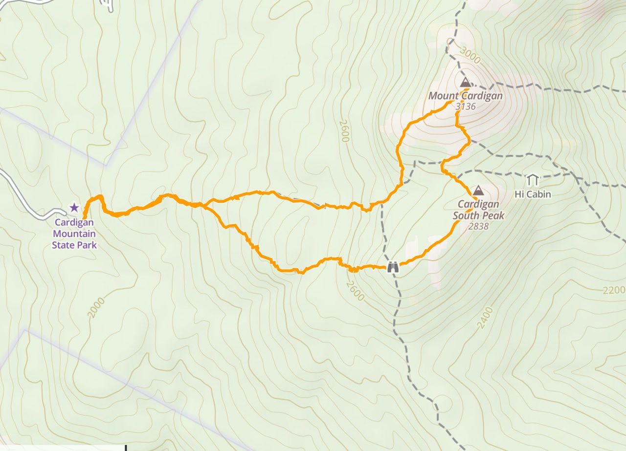
We hadn't done a real hike for a month – and wet rock, roots, and leaves can be tricky – so we decided to take the 3-mile trek from the state park entrance on the west side, rather than the 6-mile one from the AMC Cardigan lodge on the east side. The drive was a bit over an hour taking NH118 south starting at NH112 all the way down to Canaan and turning left on Orange Road which eventually became Mt. Cardigan Road.
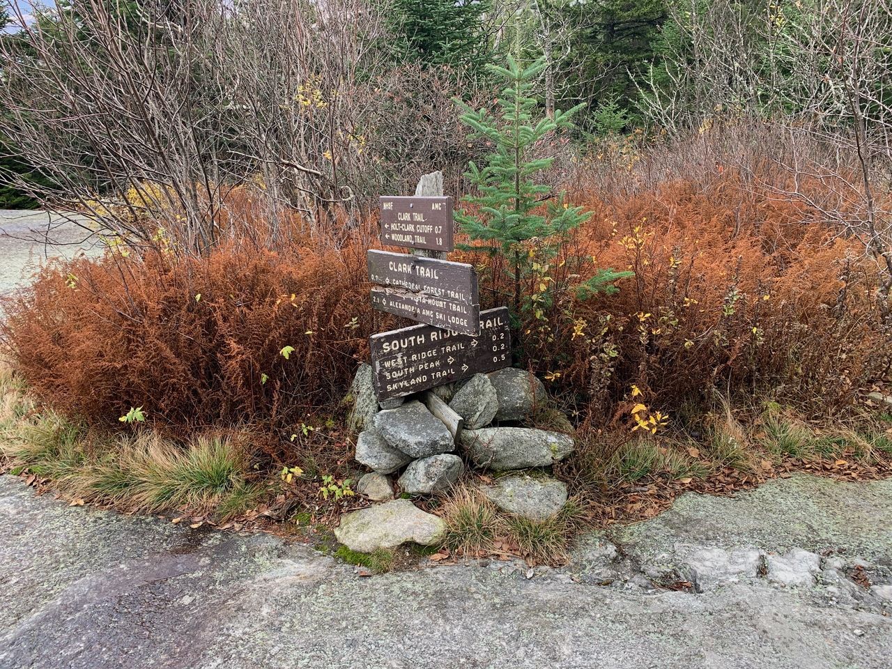
It's interesting that the trails are color-coded --- yellow from the east, white when traveling north-south, and orange from the west, even changing colors on the same trail as the direction shifts.
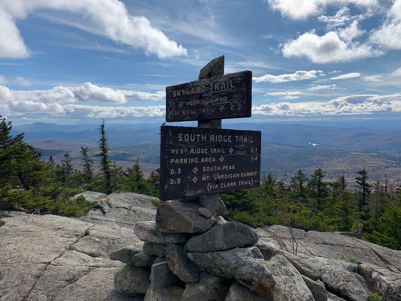
The 3-mile hike is a loop that we did in the following order: West Ridge Trail → summit → Clark Trail → South Ridge Trail → West Ridge Trail.
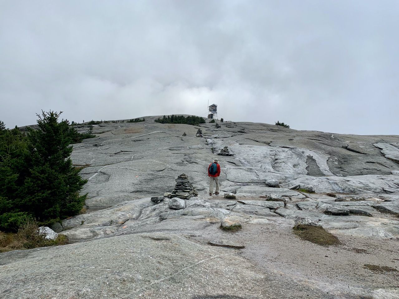
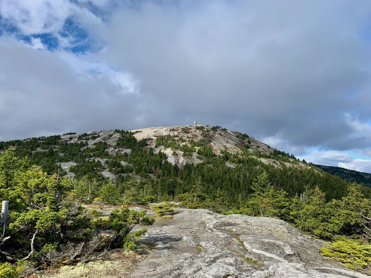
The hike was pretty typical, a mix of trail walking, rock scrambling, and ledge walking. These trails are heavily used, so they easy to follow and there are frequent blazes. It was mostly trail walking, steadily upward, until the last ⅓ mile or so when it opened onto steeper ledges.
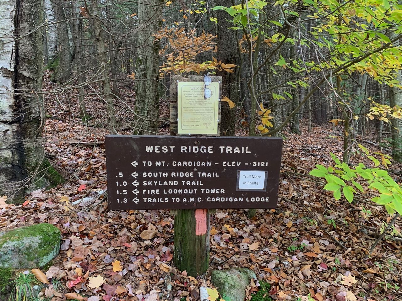
We took the West Ridge Trail and reached the summit at 1.5 miles in about an hour and 10 minutes.
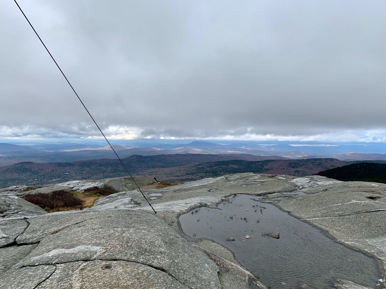
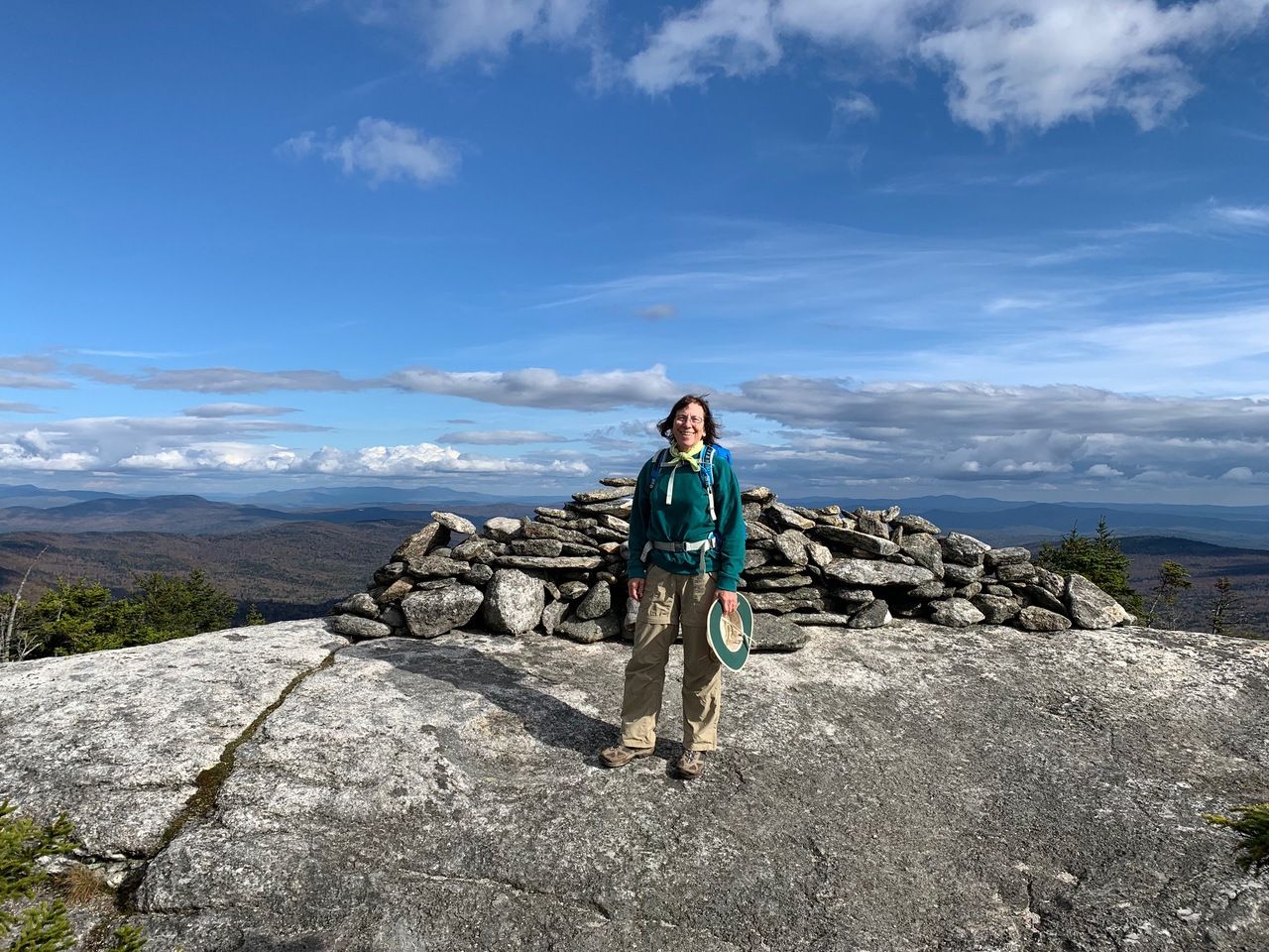
At the summit.
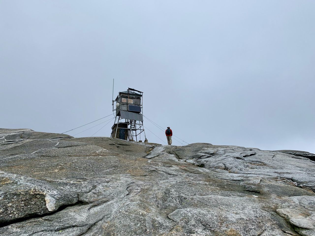
It was extremely windy and the air contained some moisture blowing in from the trees. We rested out of the wind as best as we could, had a snack, and looked around and took pictures.
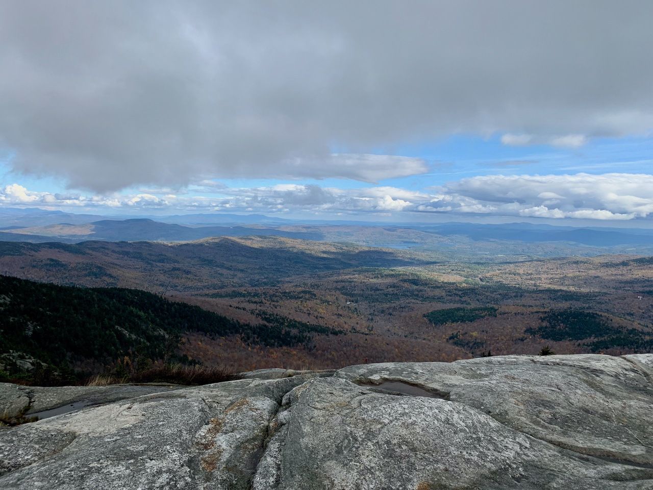
Mt. Moosilauke to the west.
Newfound Lake.
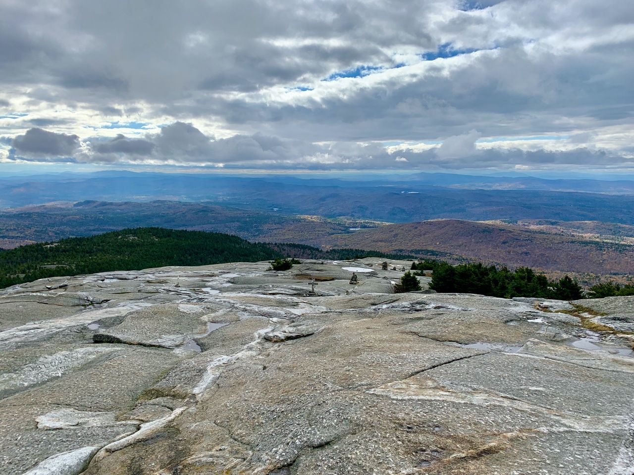
Looking back down the way we came up.
After about a half hour, we headed down the Clark Trail to meet up with the South Ridge Trail. The Clark Trail down was very steep ledge and we made our way slowly to the junction with the South Ridge Trail.
We reached the South Peak about .4 miles from the Cardigan summit. The sun finally came out!
Looking back at Mt. Cardigan.
Our next stop was Rimrock, about .3 miles from South Peak.
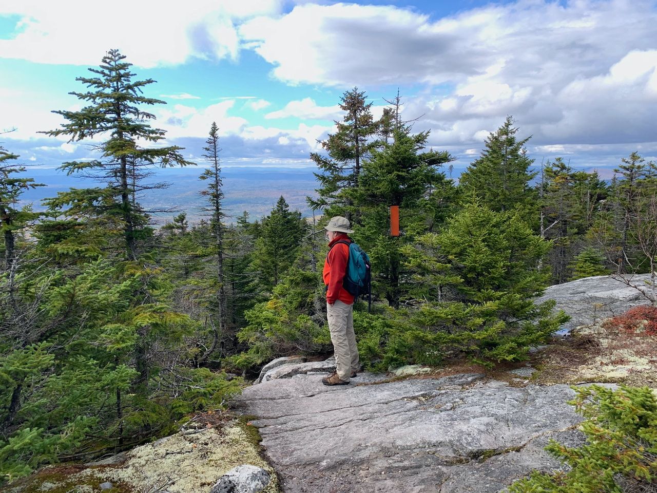
The next 0.2 miles or so were very tricky -- steep with wet slabs and boulders. (Some frequent hikers later told us that it is easier to do this section in the other direction.) After that, the trail smoothed out and we soon met back up with the West Ridge trail and headed back to the car. Our total moving time was 2½ hours, with about 1200 feet of elevation.
Distance and Time Waypoints:
(Note the elevations are from the iPhone GPS so they don’t match the map exactly)
- West Ridge trailhead (elev 1922 ft) at 12:20 pm
- West Ridge and South Ridge trail junction at .5 miles (elev 2232 ft) at 12:38 pm
- West Ridge and Skyland trail junction at 1.0 miles (elev 2653 ft) at 1:05 pm
- Summit of Mt. Cardigan at 1.5 miles (elev 3118 ft) at 1:30 pm
- Stop on summit for pictures and food about 1/2 hour
- Clark Trail to jct with South Ridge Trail at 1.65 miles at 2:04 pm
- Cardigan South Peak at 1.9 miles (elev 2827 ft) at 2:21 pm
- Cardigan Rimrock at 2.2 miles (elev 2787 ft) at 2:34 pm
- Off steep ledges at 2.35 miles (elev 2667 ft) at 2:50 pm
- Back to West Ridge trailhead: at 3.2 miles at 3:22 pm