NH – Mt. Crawford
Mt. Crawford is on the “NH 52 with a view" list. It is the southernmost peak along the Davis Path. The Davis Path runs roughly parallel to the Crawford Path (which provides access to the Southern Presidentials) but east of the Crawford Path. It provides access to the Montalban Range. The Davis path starts on US 302 8 or 9 miles south of the Crawford Path and runs north and meets the Crawford Path before it climbs to Mt. Washington. (The northernmost peak on the Davis Path, Mt. Isolation, is the only 4000 footer.)
The Davis Path leaves US 302 on the west side of the Saco River at a paved parking lot (elev. ≈ 1000 feet) 5.6 miles south of the Willey House site in Crawford Notch State Park and 6.3 miles north of the junction with Bear Notch Rd. in Bartlett. The path is almost entirely within the Presidential Range-Dry River Wilderness. The distance to Mt. Crawford is listed at 2.5 miles, gaining 2000 feet of elevation, 2 hours and five minutes, though our tracker said 2.25 miles. Our hike took three hours and 40 minutes round trip, plus an hour on top of Mt. Crawford. Surprisingly, the trail wasn’t heavily overused, but it was used enough to be easy to follow. It was also blazed with light blue blazes.
The path follows a gravel road (Crawford Valley Way) along the bank of the river about 200 yards upstream (north) to a cable-stayed (pretty fancy) footbridge (Bemis Bridge). Beyond the east end of the bridge, the trail passes through private land, across an overgrown field, then crosses a small brook on a log bridge. Davis Path then swings right and enters the woods and the WMNF. The trail crosses a brook bed, usually dry this time of year and it was for us, and begins to climb away from the main brook, shortly passing into the Presidential Range-Dry River Wilderness at 0.4 miles (elev. still around 1000 feet).


The grade is rather mild initially, which means that the next section is quite steep. At 0.9 miles, the trail enters the old, well-maintained bridle path, and begins to ascend the steep ridge by switchbacks. This section is quite steep, climbing about 1900 feet over about a mile and a half, over 1200 feet/mile. We consider anything over 800-900 feet/mile to be steep.

This is at 0.4 miles but at the same elevation as the parking lot.

The dry river bed, listed as usually dry during the summer, was certainly dry here.

Here is where it starts climbing.

And continues, pretty steadily up, for the next mile and a half.

Instead of posting the asters and goldenrod so prominent this time of year, here are some really cool fungi. The last one may be black trumpet, considered edible and delicious, and pretty pricey.

Out of the rocky terrain into some washout.

Now some ledgy walking.

We got to the crest at about 1.9 miles, where the Davis Path continues north, traversing bare ledges with good outlooks, particularly to Mt. Carrigain and the Tripyramids.

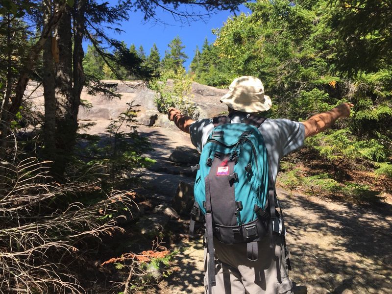
At this point, most of the walking was on expanses of granite.

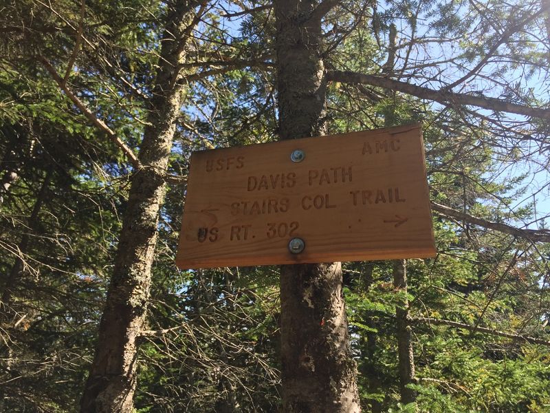
At 2.2 miles, at the foot of a large, sloping ledge (elev. 2925 ft.), there is a path to Mt. Crawford about 45 degrees to the left, and the Davis Path continues at 45 degree to the right. At this point we are walking up ledge. Initially we followed white blazes painted on the rock ledge and then these were augmented by cairns.

The path to Mt. Crawford climbs 0.3 miles and 200 feet (about 15 minutes) to the bare, peaked summit of Mt. Crawford, where there is pretty much a 360 degree view.

#Samberging™ at the top.

The entire Southern Presidential Range from Jackson to Washington.

Heading back down after a glorious hour on top.

A Google Earth picture with the hike at the bottom and Mt. Washington at the top.

— Eileen and Larry Samberg - 31-Aug-2018