NH – Stinson Mountain
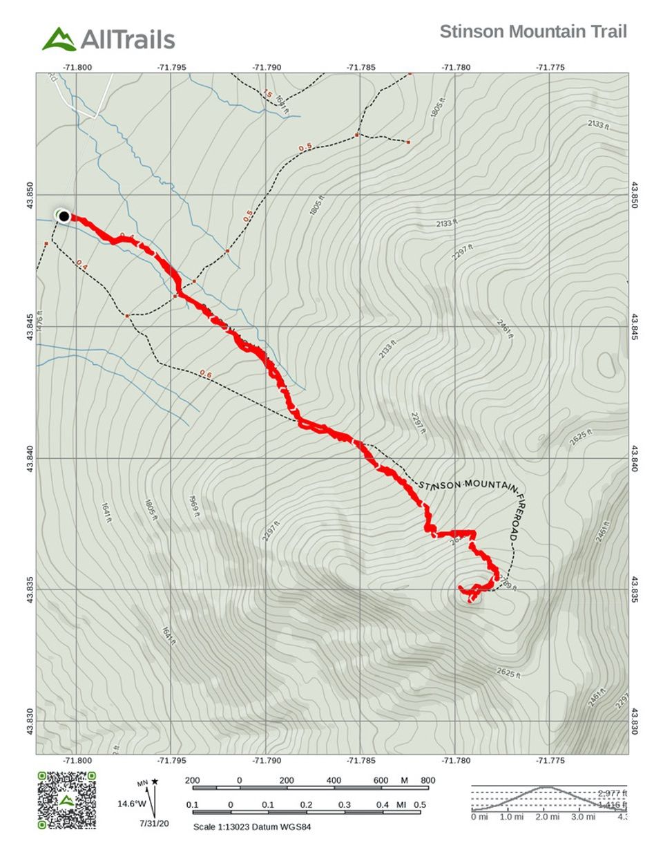
Ready for a nice hike to a summit on the 52 With A View list, we hiked Stinson Mountain in Rumney. The trail stats are 3.6 miles round trip, rising 1400 feet to the summit at 2900 feet.
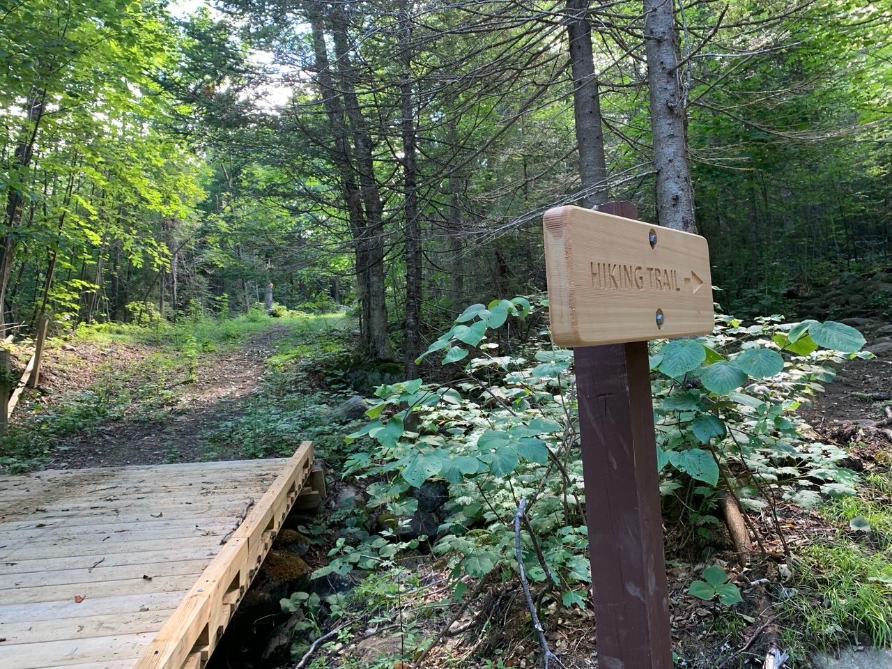
We took NH 25 west to Main Street, Stinson Lake Road, Cross Road, and then a short distance down gravel-surfaced Lower Doe Town Road to the 5-car trailhead.
The trail is not blazed, but fairly easy to follow. The only tricky part is that there is a snowmobile trail that enters and leaves the trail and you need to be sure to stay on the hiking trail.
The trail starts at an easy grade, crossing a (old tractor road) snowmobile trail at .4 miles. At .9 miles, it bears left, joining the snowmobile trail that comes in from the right.

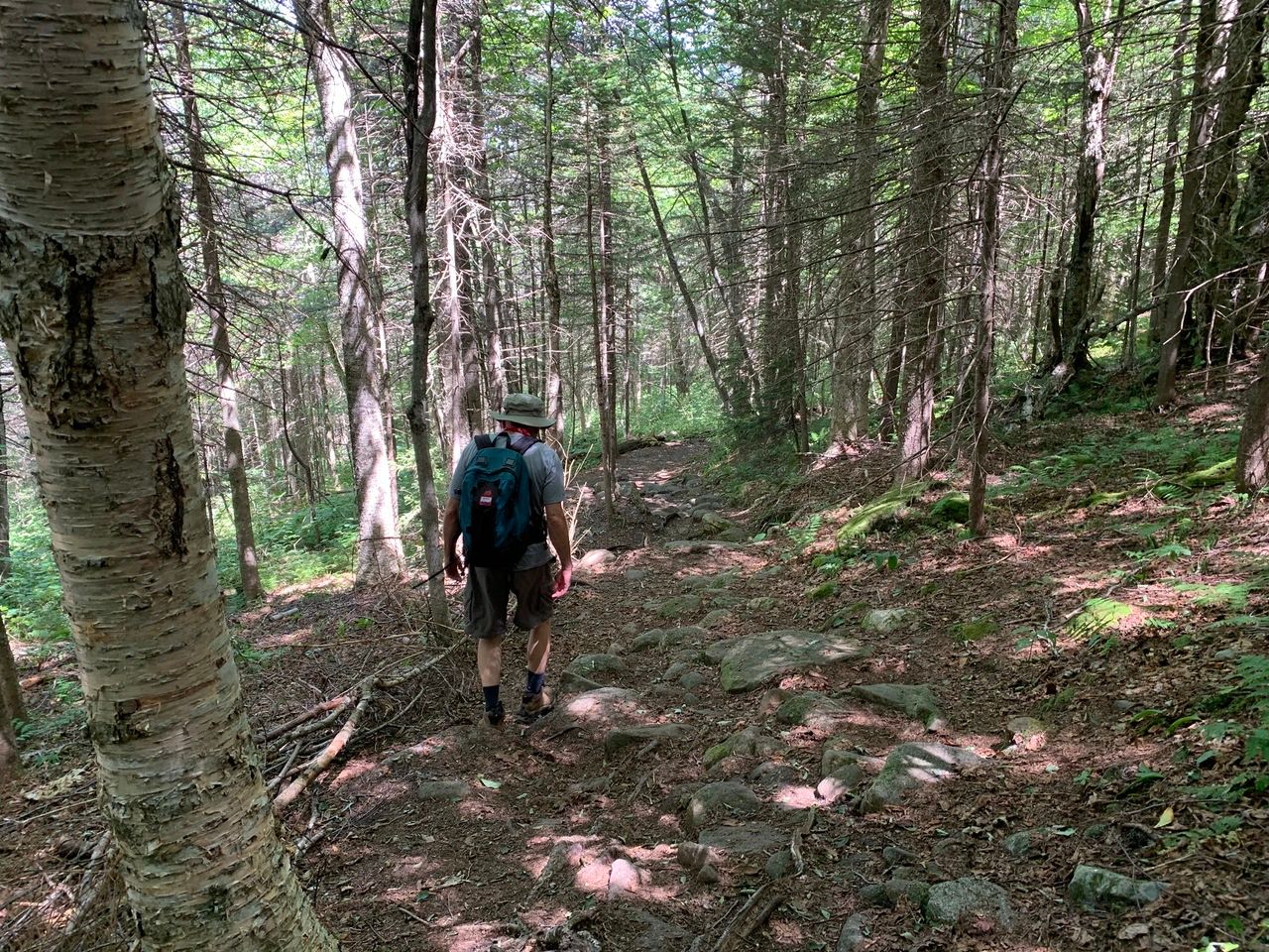
At 1.1 miles, the trail leaves the snowmobile trail and takes a right through the woods. The trail then ascends steadily, swings left, and then climbs by switchbacks.
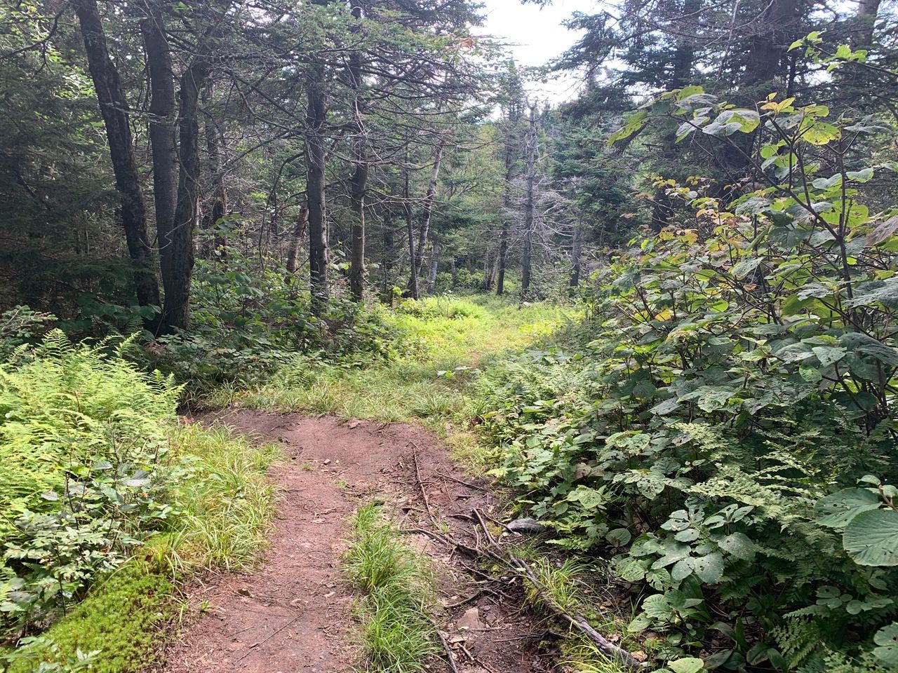
Near the summit, the trail rejoins the old tractor road a little below the summit, and at a fork for two paths to the summit.
The fork below the summit.
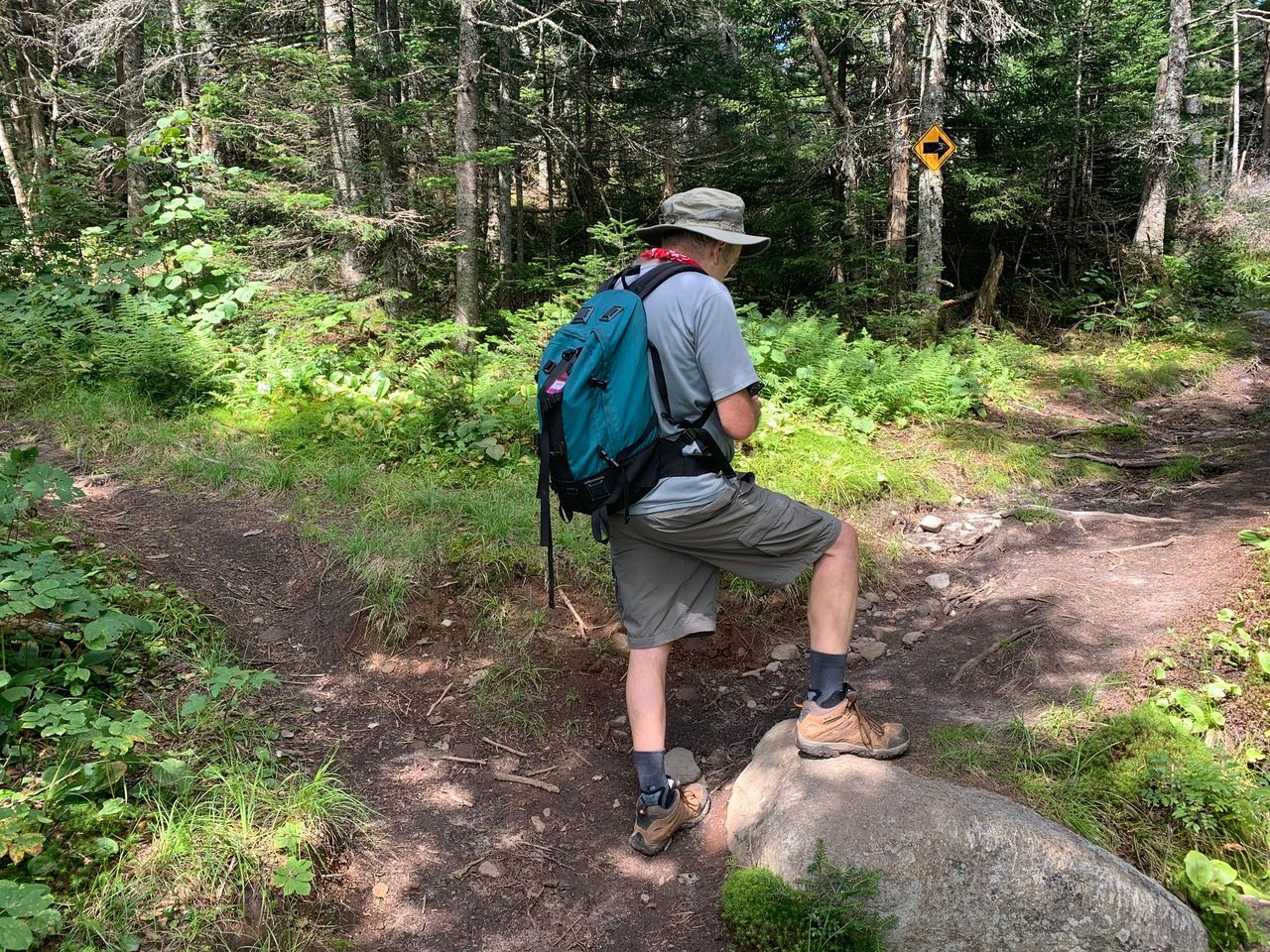
Looking back at the old tractor road.
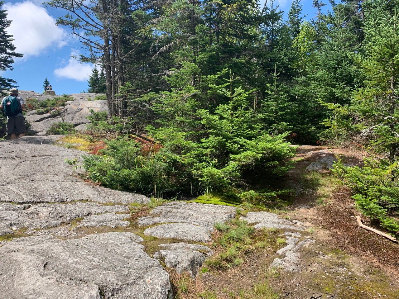
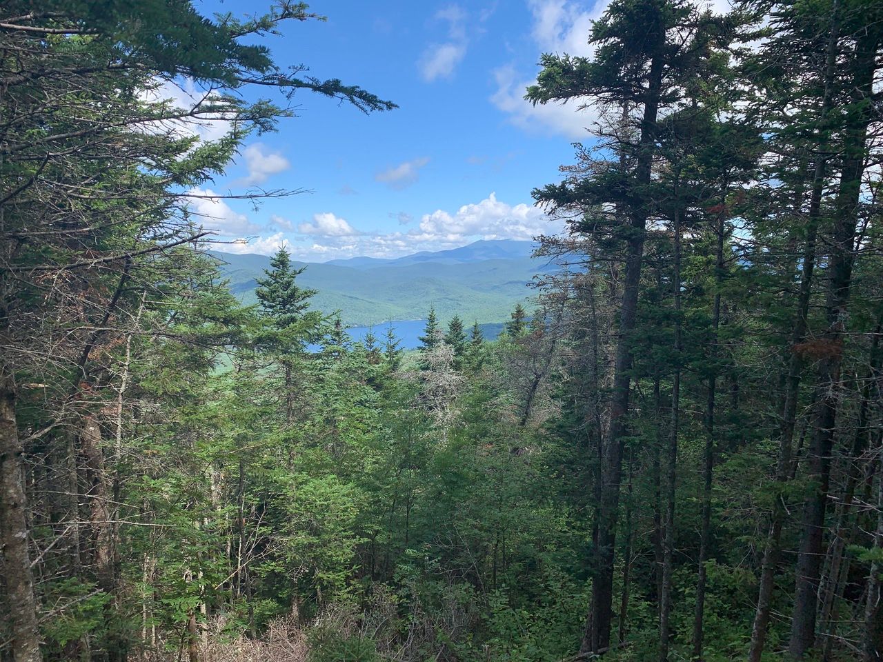
Taking the right fork, there is a spur path on the right, just before the junction with the other path, to a 80 yards walk to a view of Stinson Lake and Moosilauke.
Heading to the summit before the spur.
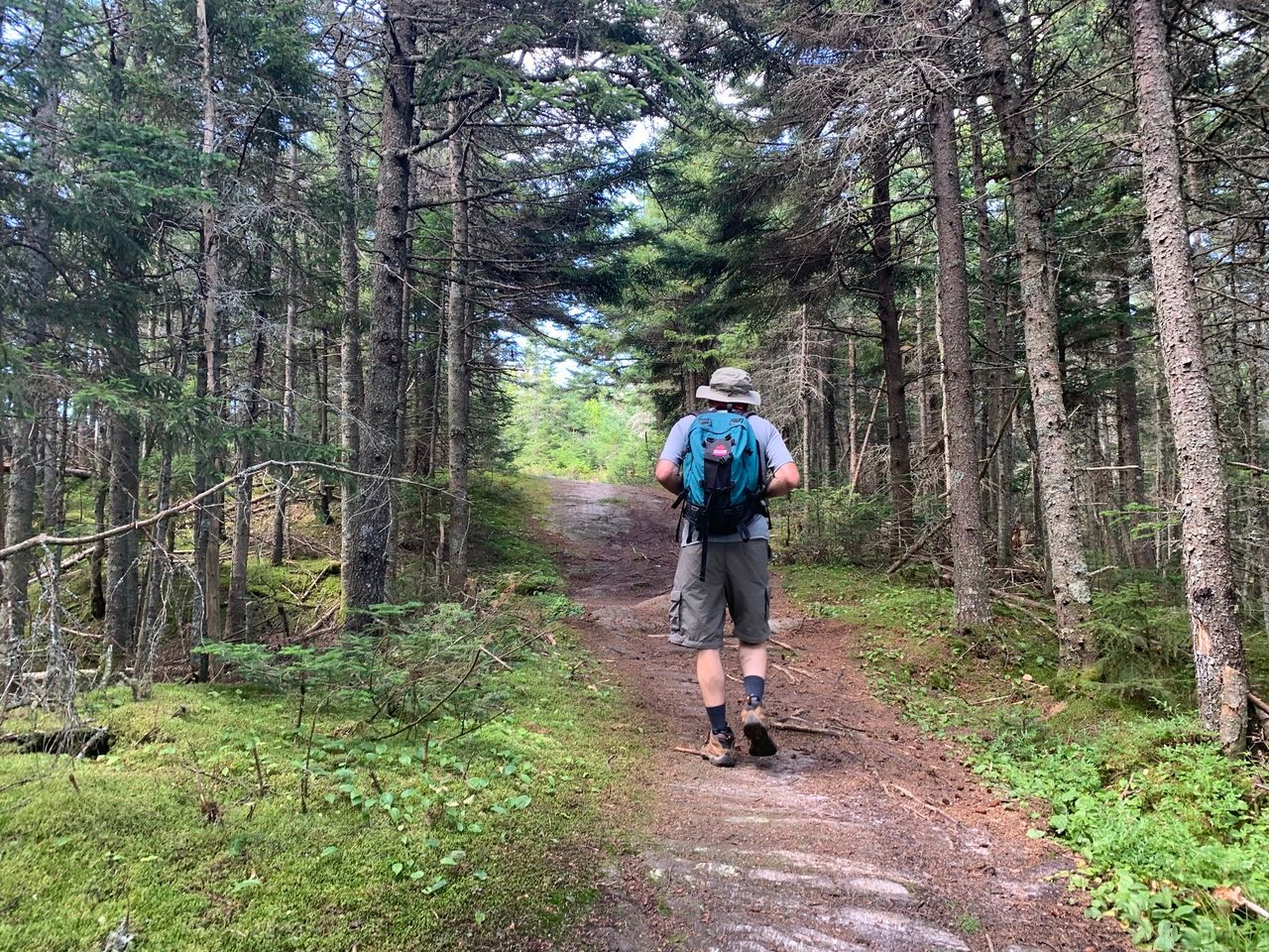
The spur path on the right.
View of Stinson Lake and Mt. Moosilauke from the spur path.
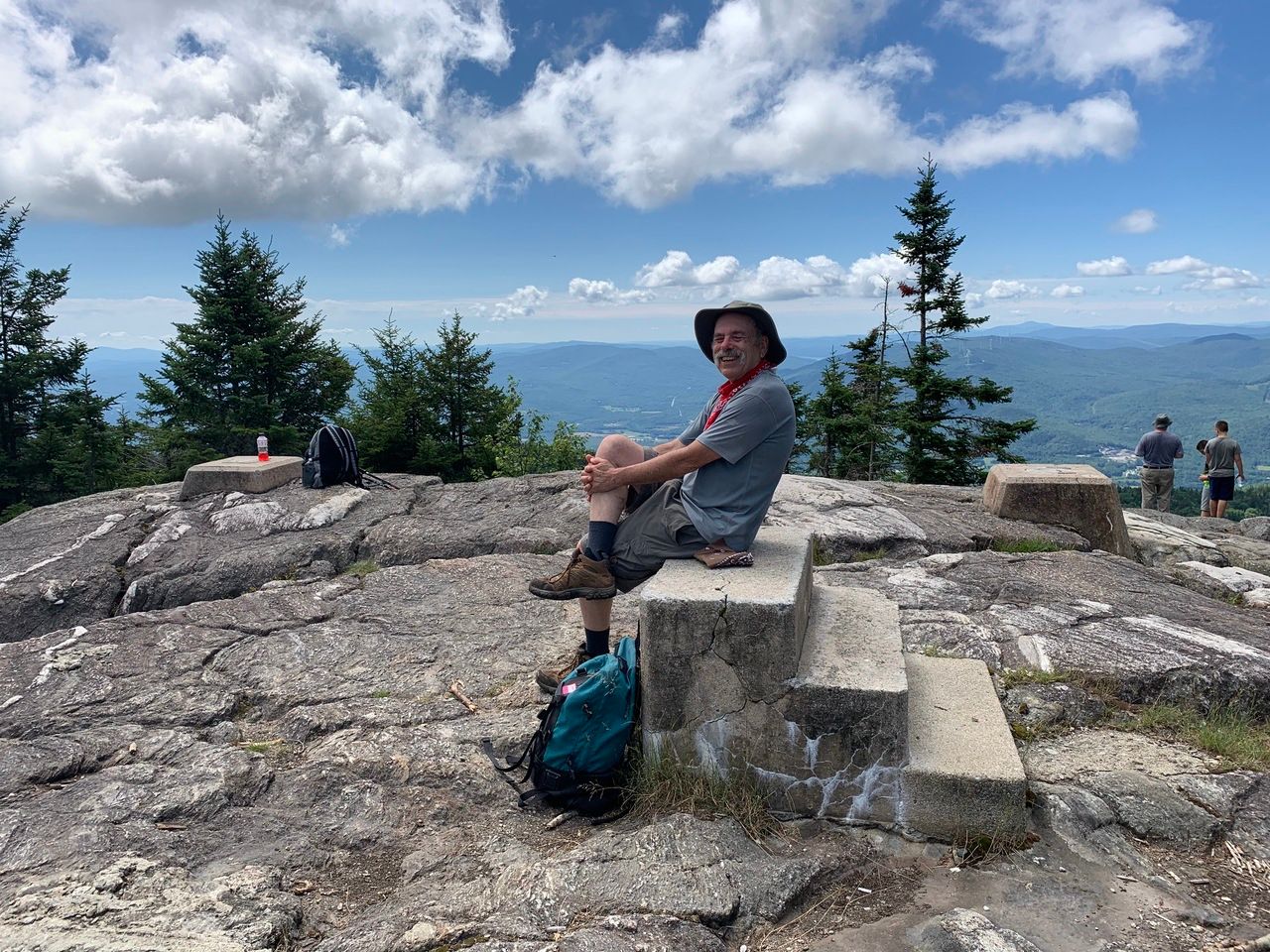
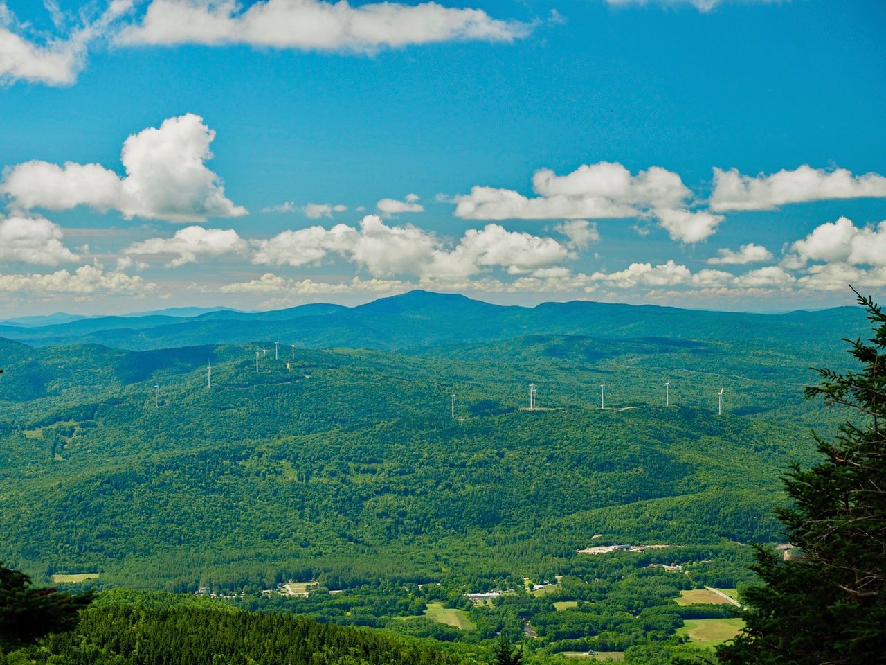
We reached the summit in about 70 minutes, relaxed on the summit, and had lunch. The main view from the summit is of the town of Rumney, with Mt. Cardigan the biggest peak in the distance. The summit once had a fire tower. Just the concrete supports remain.
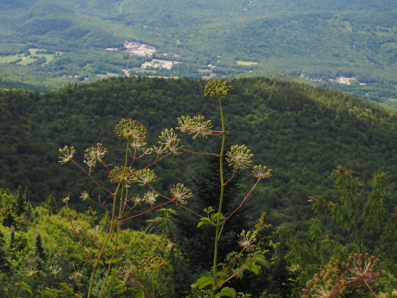
Lots of Bristly Sarsaparilla at the summit.
The hike down took about an hour.
