NH – The Scaur and the Waterville Flume
We drove down to Waterville for an out-and-back hike to The Scaur and to the Waterville Flume.
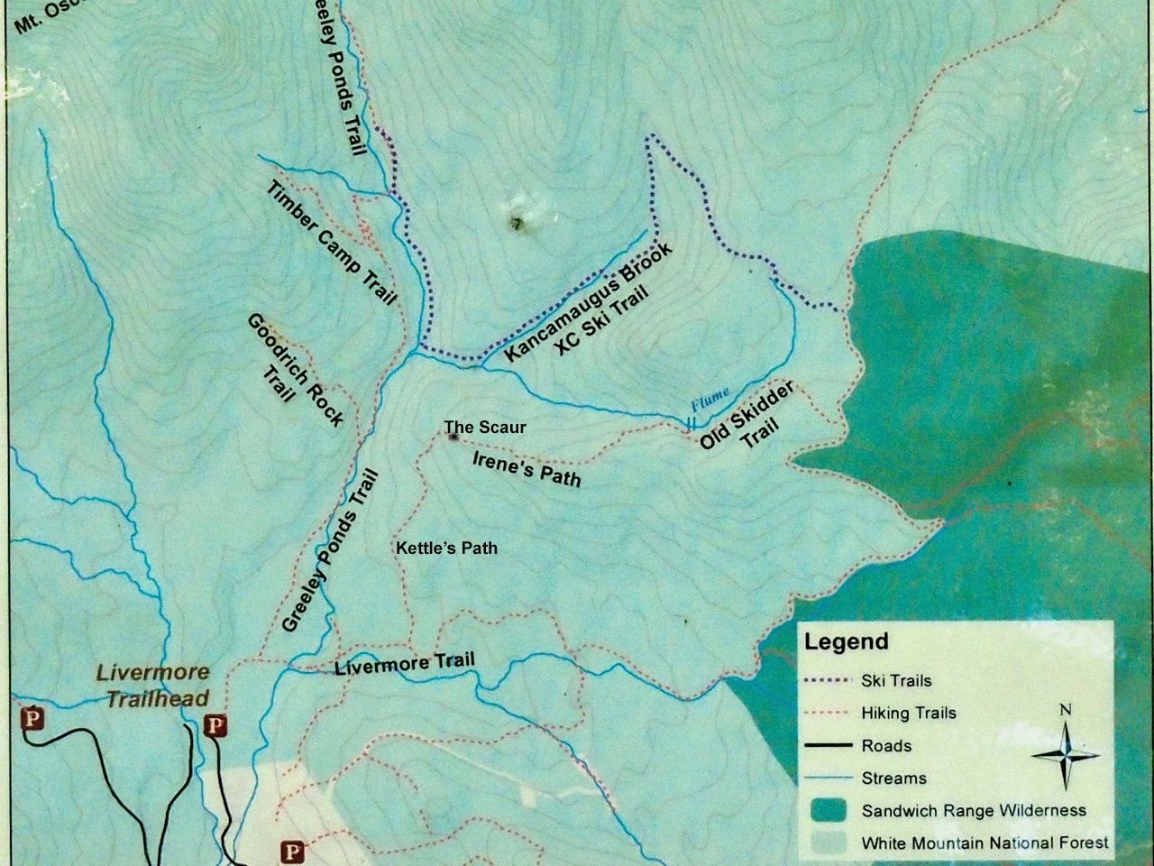
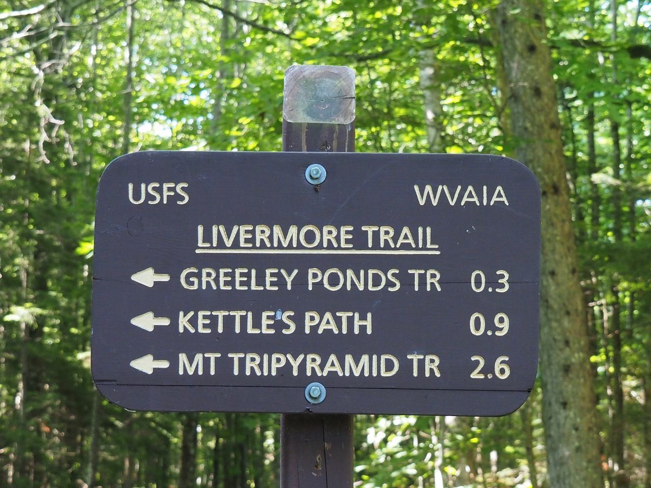
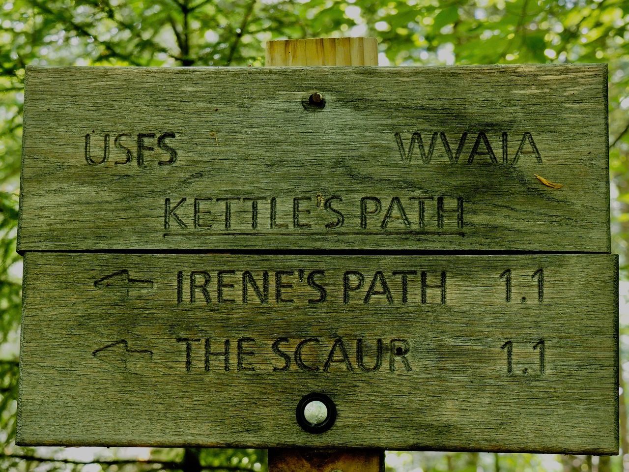
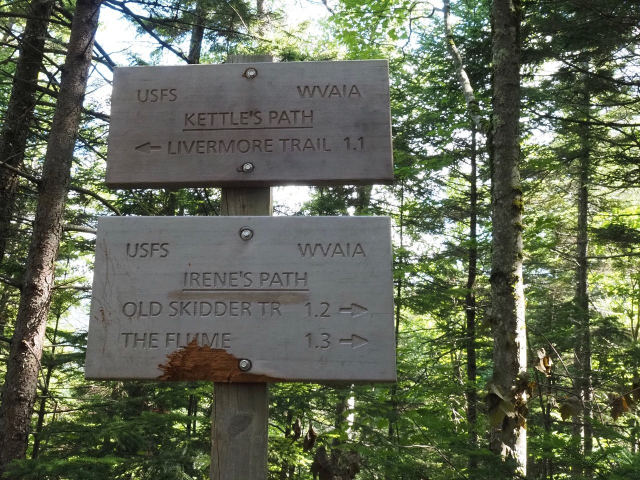
The hike starts at the Livermore USFS lot on Tripoli Road across from Waterville Resort. The hike follows the flat, wide, dirt Livermore Trail for .9 miles, then Kettle’s Path for 1.1 miles, a short spur to The Scaur, then 1.3 miles on Irene’s Path to the Waterville Flume. The total trip comes in at 6.6 miles round trip based on the signposts, though Larry’s GPS app says 6.2 miles.
The parking lot is at 1640 feet, The Scaur is at 2230 feet, the ridge we climbed to and descended from is at about 2490, making the total elevation change about 1000 feet.
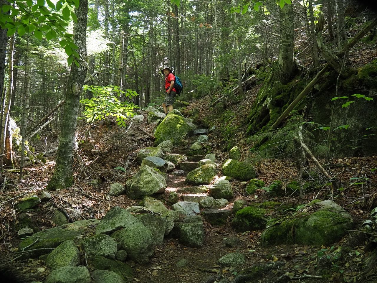
We started off on a sunny morning along Livermore Trail.
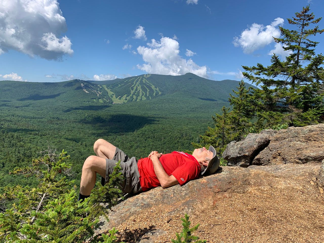
At .9 miles, we turned left onto Kettle’s Path, the route to The Scaur, a rocky outcropping with excellent views.
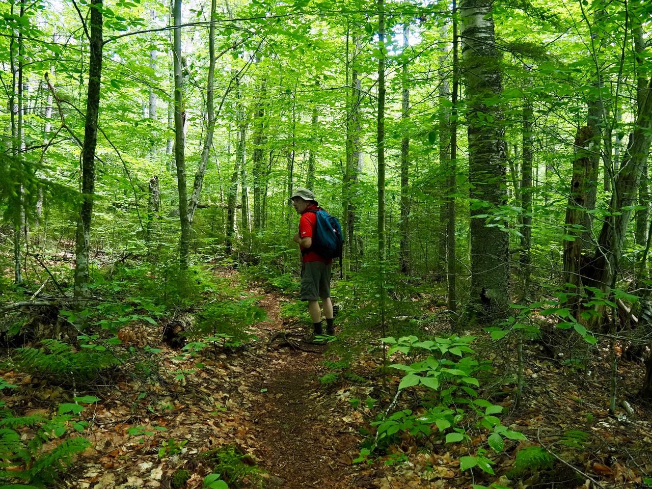
Kettle’s Path is mostly a mild grade with good footing; at about 1.7 miles from the parking lot, at 1940 feet of elevation, the trail turns right and ascends more steeply.
The spur to The Scaur was about .25 miles further and at about 2160 feet on the right side of the trail.
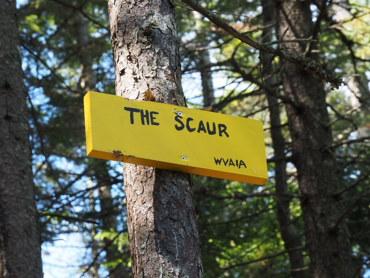
After a short, steep scramble, we reached The Scaur.
From The Scaur, on the right is Waterville Resort and Tecumseh.
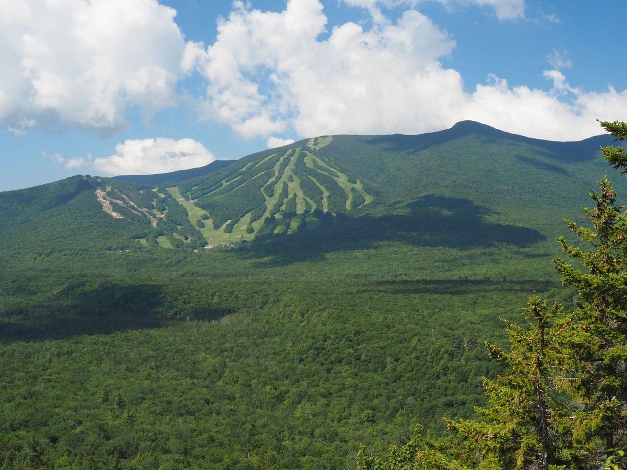
Owl’s head at the furthest point in the background.
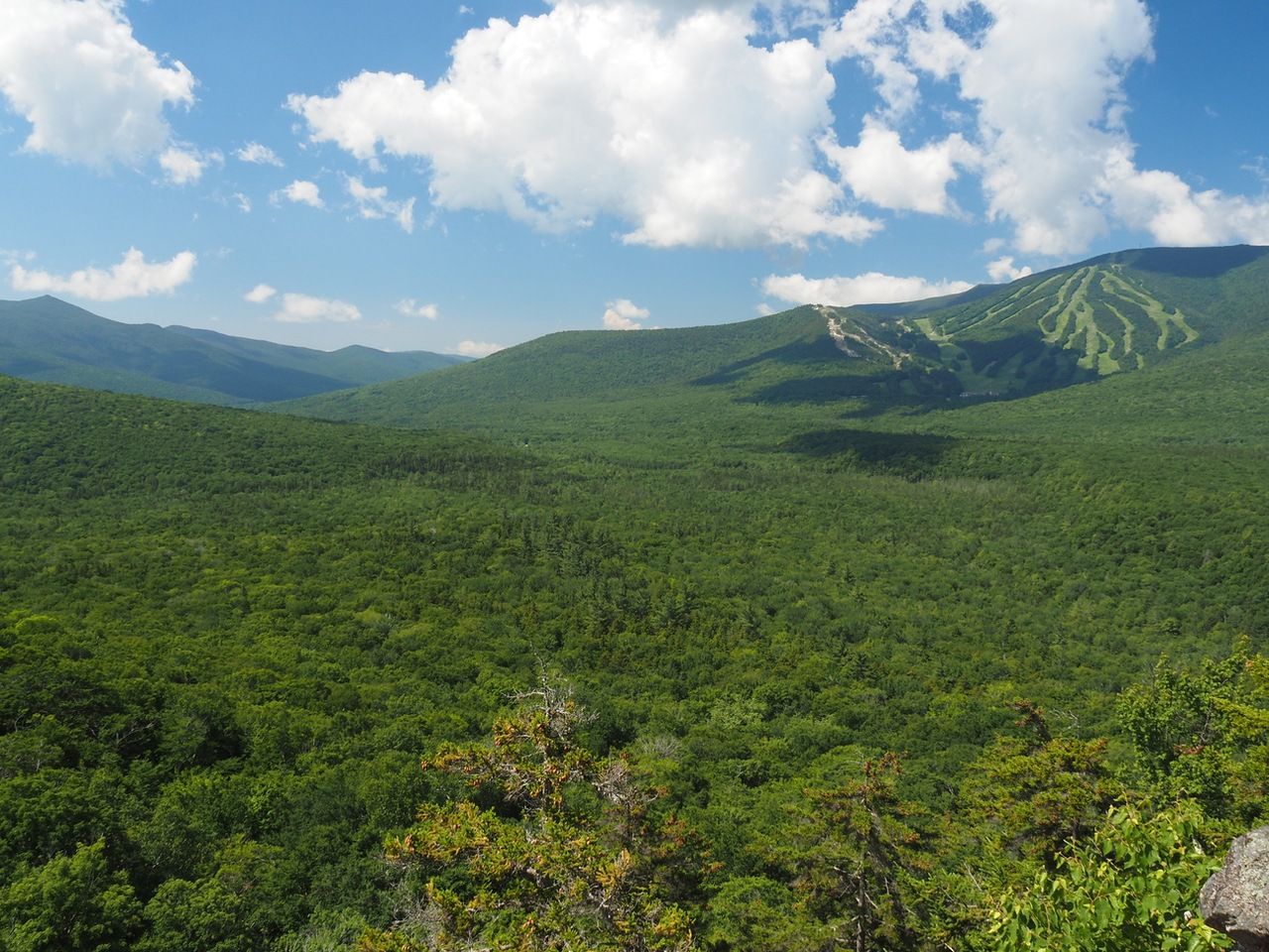
Sandwich Dome, is straight ahead in the haze, with Noon Peak below Sandwich Dome, and Jenny Peak to the right of Sandwich Dome.
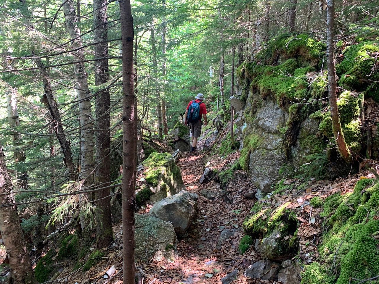
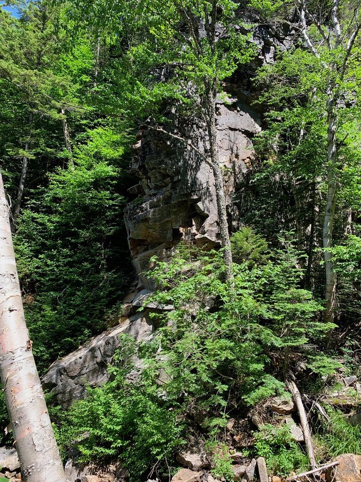
From the spur, the trail continues for another 1.3 miles as Irene’s Path to the Waterville Flume. After Storm Irene in 2011, the Flume Brook trail to the Waterville Flume, was obliterated. Kettle’s Path was at the time an out-and-back trail to the The Scaur only. In 2014, Irene’s Path was blazed at the terminus of Kettle’s Path as a new trail to the Flume.
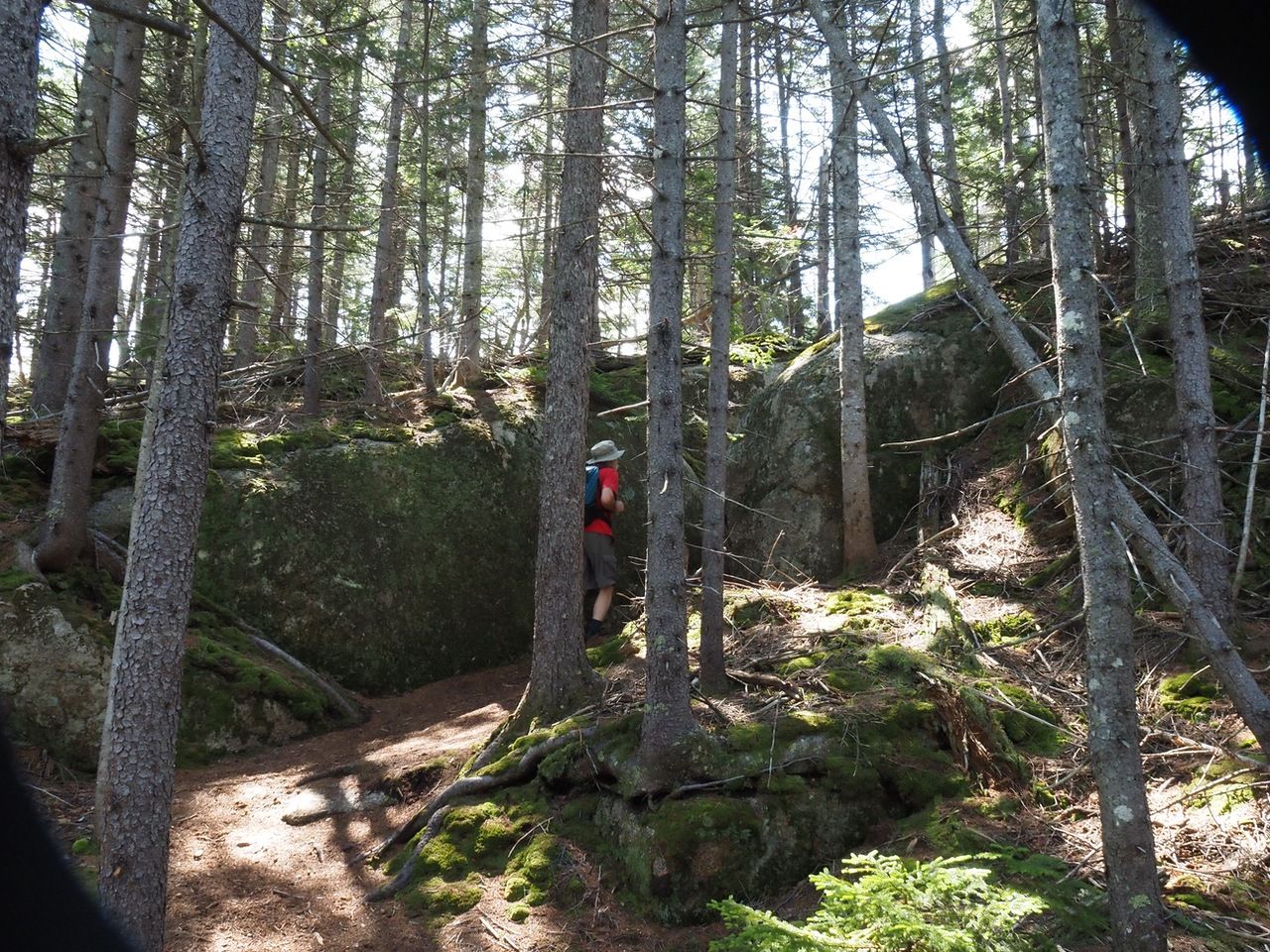
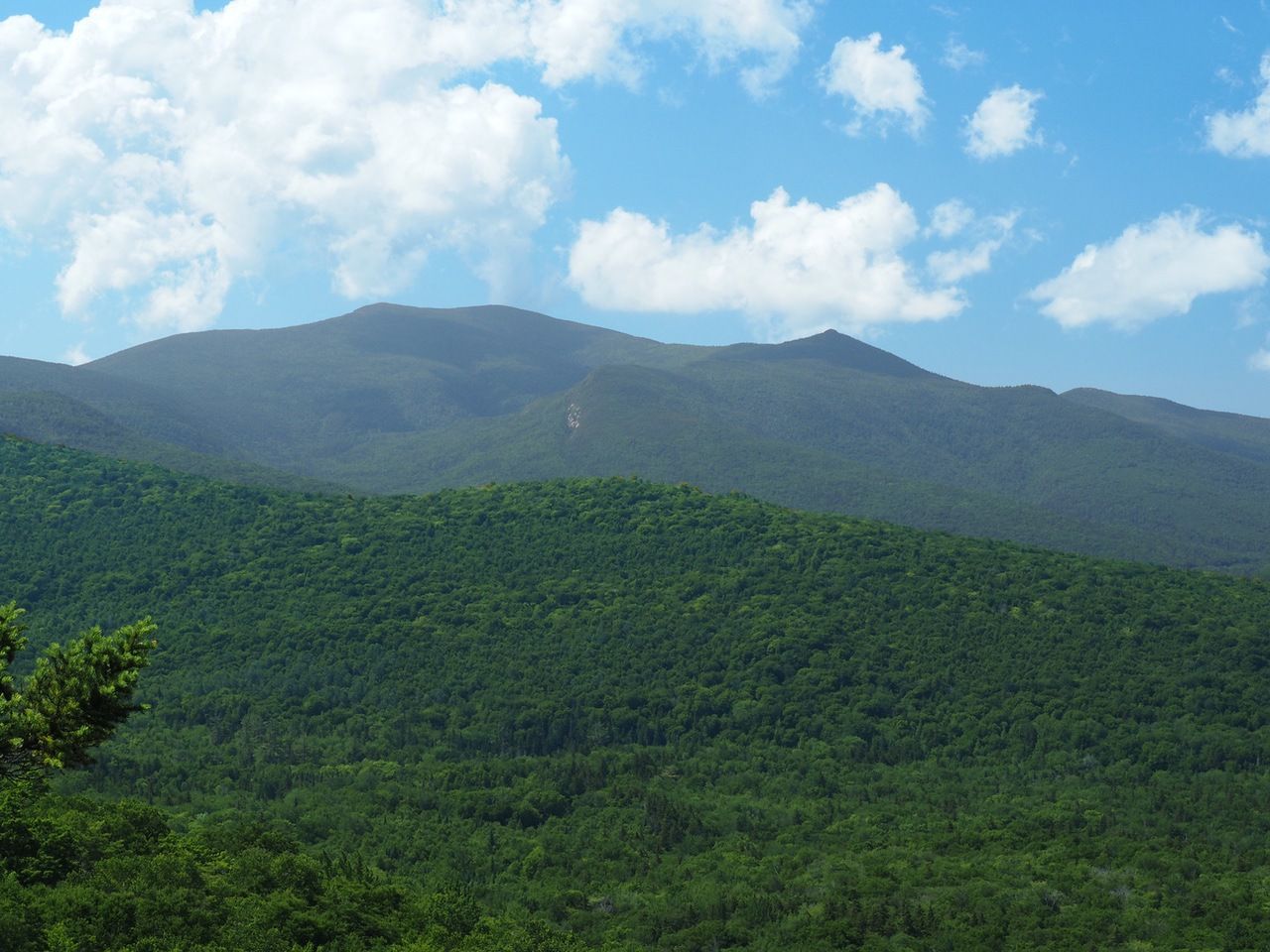
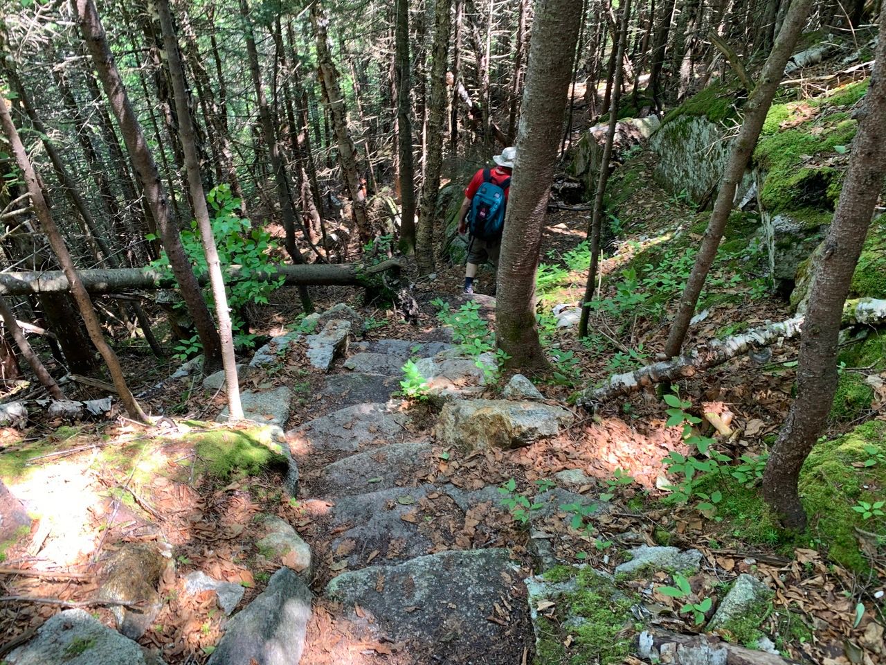
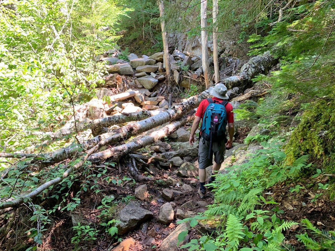
Irene’s Path climbs Scaur Ridge to about 2490 feet and then descends by steep switchbacks to the Waterville Flume. At one of the turns, there is a good view of the Osceolas and Mad River Notch.
Descending off of Scaur Ridge.
Osceolas and Mad River Notch.

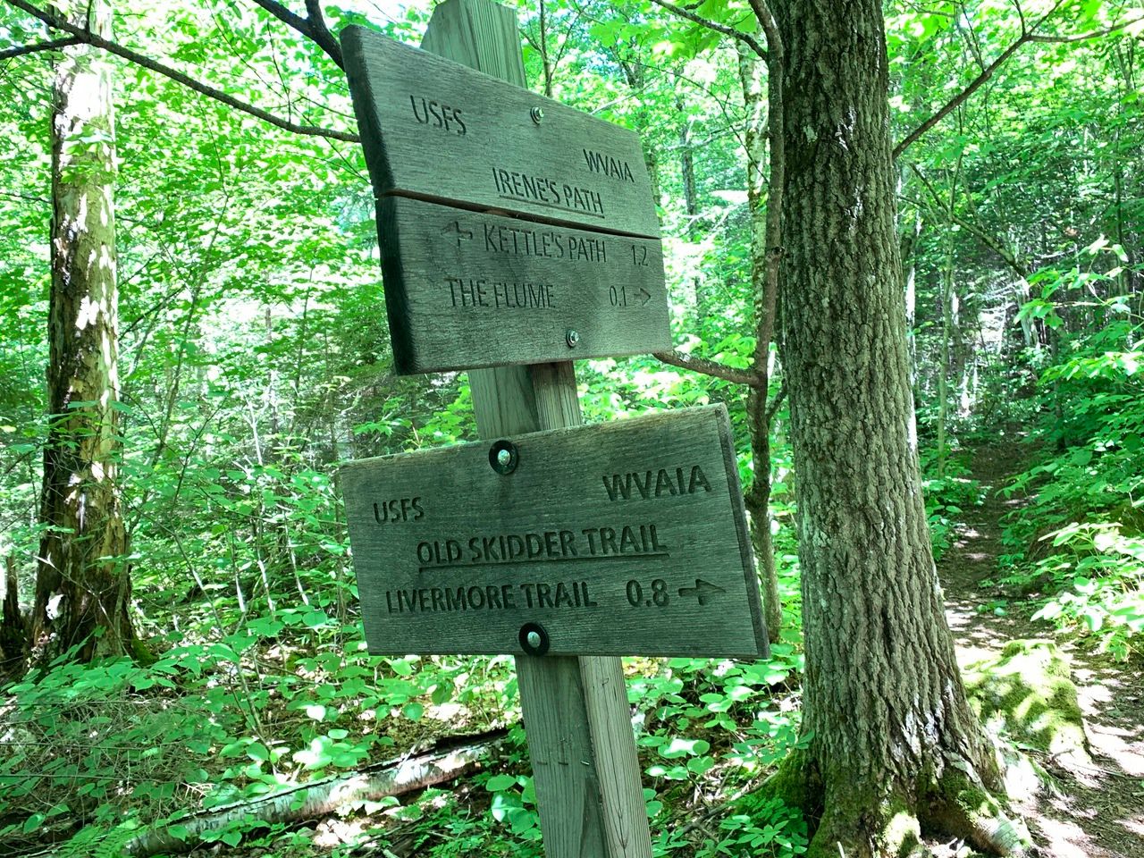
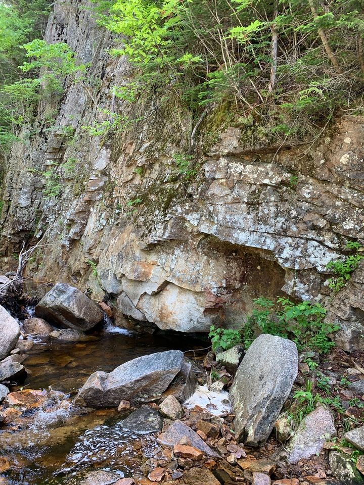
Irene’s path intersects with the Old Skidder Trail just before the Flume.
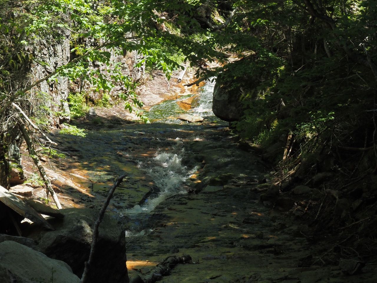
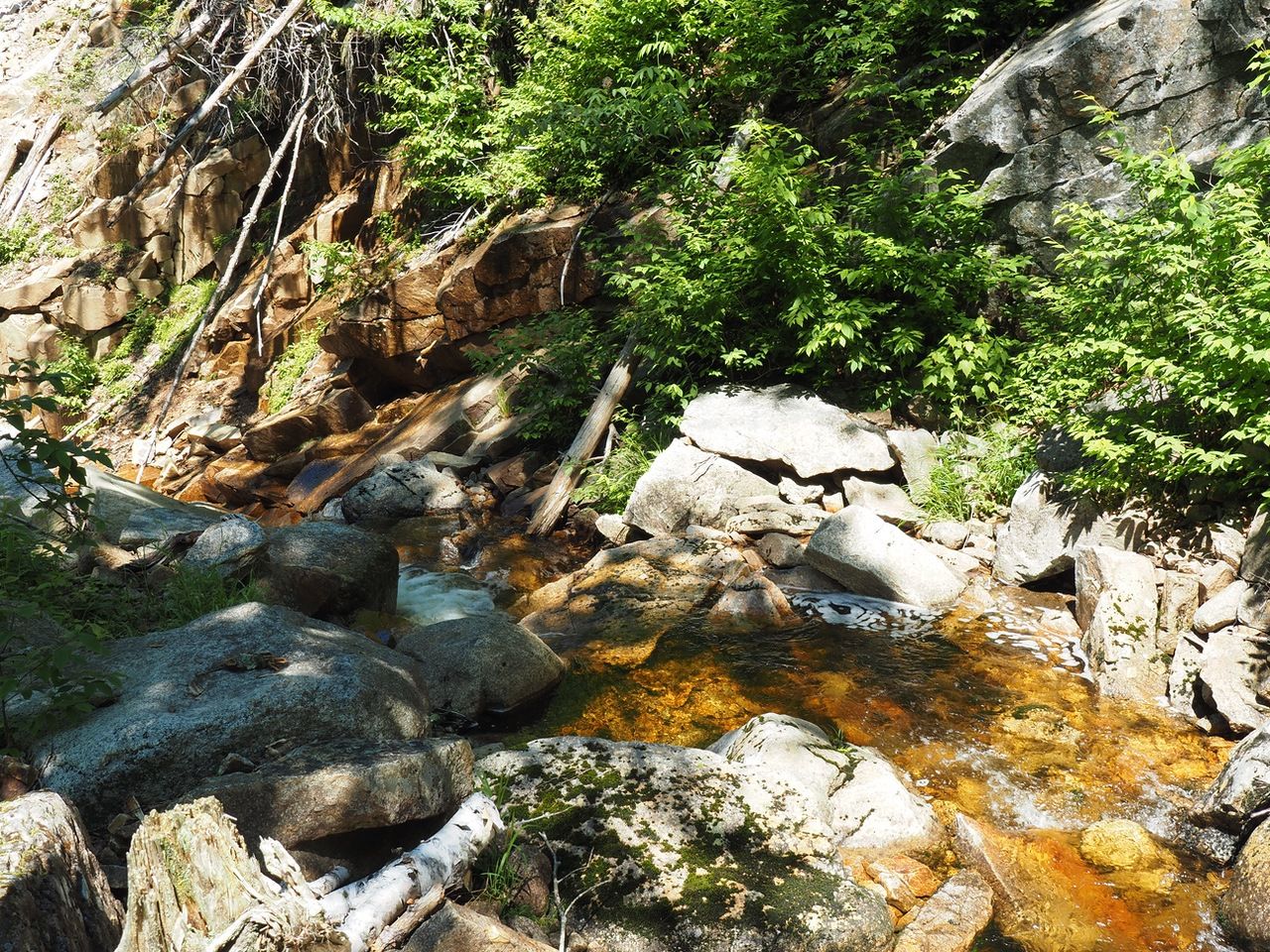
Reaching the Flume.
For the return, we retraced our steps. The total time for the day was about 4 1/2 hours with stops at The Scaur and lunch at the Flume.